Download
3D Flyover
Add to list
More
14.9 km
~3 hrs 9 min
114 m
Point-to-Point
“From Maas-side Gennep to Sint Jansberg’s beechy hush, Apostelweg leads you home.”
This is a relaxed, mostly low-level walk that links the Maas river town of Gennep with the wooded ridge of Sint Jansberg, then returns toward the town center via the historic Apostelweg. At around 15 km (9.3 mi) with roughly 100 m (330 ft) of total ascent, it’s well-suited to a half-day outing at an easy pace, with frequent options to shorten the route if you want to stay closer to town.
Getting to the start (Gennep)
By public transport - Train: The nearest major rail hub is Nijmegen. From there, regional buses run toward Gennep (routes and operators can vary by day/time). Plan the final connection to Gennep Busstation (the central bus stop area) and walk a few minutes to the riverfront/old town edge to begin. - Bus: If you’re already in North Limburg or the Nijmegen area, buses commonly connect Boxmeer / Cuijk / Nijmegen with Gennep. Aim for a stop in or near Gennep Centrum or Gennep Busstation.
By car - Gennep is straightforward from the A77/N271 corridor. Use parking near the center such as around Zandstraat / Europaplein (central Gennep) or signed town-center parking areas, then walk to your chosen starting point near the old town/river side.
If you share the start coordinates (lon/lat), I can pin it to the nearest recognizable place (for example a specific street, bridge, church, or trailhead) and describe the first 500–800 m turn-by-turn from that exact spot.
What the route feels like underfoot
Expect a mix of: - Town pavements and quiet residential lanes leaving/returning to Gennep - Hard-packed forest paths and sandy stretches on Sint Jansberg - Farm tracks and field-edge paths around the Apostelweg section
After rain, the lower woodland and ditchy edges can hold water; in dry spells, sandy sections can feel a bit softer and slower. Trail shoes are fine; boots are optional unless it’s been wet for days.
Gennep’s edge to Sint Jansberg (approx. 0–6 km / 0–3.7 mi)
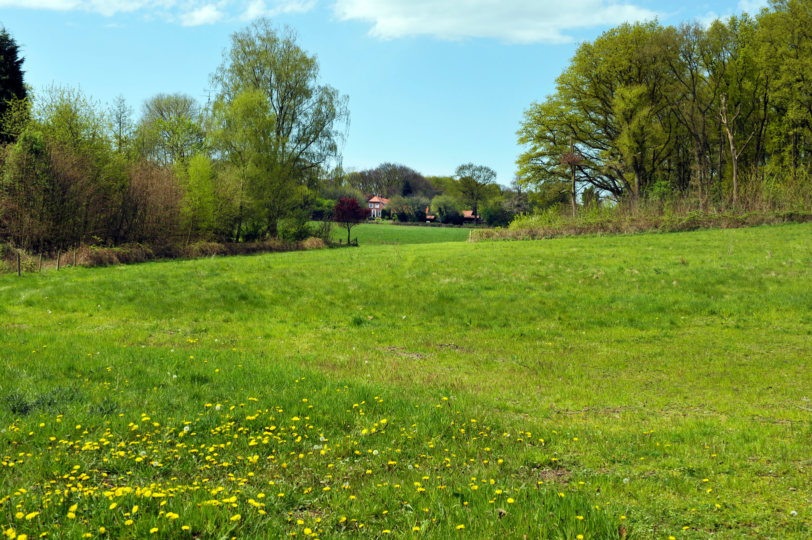
The first part eases you out of town with minimal climbing—think gentle gradients as you transition from built-up streets to greener margins. You’ll likely notice the landscape’s “borderland” character: Gennep sits close to the Dutch–German boundary, and the terrain subtly shifts from river-influenced lowlands to slightly higher, drier ground.
As you approach Sint Jansberg, the route begins its main (still mild) ascent. The total climbing is spread out, so you rarely feel a sustained hill—more like a series of small rises that add up to about 100 m (330 ft) over the whole walk.
Sint Jansberg woodland: ridges, beech stands, and quiet viewpoints (approx. 6–10.5 km / 3.7–6.5 mi)
This is the most “nature-forward” portion: a calm, enclosed forest with occasional openings. Sint Jansberg is known for its mature deciduous woodland—often beech and oak—plus pockets of conifer and mixed understory depending on the exact line you take.
What to look out for: - Wildlife: Roe deer are common in quieter hours; you may also see fox sign, squirrels, and a lot of woodland birds (great spotted woodpecker is a frequent presence). In spring and early summer, listen for a strong dawn chorus; in autumn, expect fungi along deadwood and leaf litter. - Path junction density: The forest has many intersecting tracks. Keep an eye on your planned line and confirm junction choices with HiiKER, especially where multiple parallel paths run along the same contour. - Cyclists: Some wider forest tracks can be shared-use. Stay predictable on bends and step aside on narrow sections.
Landmarks and atmosphere: - You’ll pass through stretches that feel surprisingly “upland” for such a low-elevation region—small ridges and shallow valleys that create a rolling profile. - Depending on the exact alignment, you may skirt estate-like woodland management areas and older trackways that hint at long-term human use of these forests (timber, hunting, and managed landscapes).
Apostelweg and the return toward Gennep Centrum (approx. 10.5–15 km / 6.5–9.3 mi)
Leaving the densest woodland, the route trends back toward Gennep via Apostelweg, a name that often signals an older route corridor. In this region, many “-weg” alignments trace long-used connections between settlements, farms, chapels, and market towns—paths that predate modern road layouts.
Expect: - More open edges: field margins, hedgerows, and occasional farm access lanes. - Big-sky moments: after the forest canopy, the light feels brighter and the wind more noticeable. - Easy navigation but watch the turns: it’s not technically hard, but the transition zones (forest-to-farmland-to-town) can include quick left/right choices at T-junctions. Use HiiKER to confirm you’re on the intended Apostelweg line rather than a parallel lane.
As you re-enter Gennep, you’ll return to paved surfaces and a more urban feel. If your route finishes in the center, you’re well placed for cafés, supermarkets, and bus connections.
Planning notes: timing, water, and seasonal considerations
- Time estimate: Most hikers will take **

Surfaces
Unknown
Unpaved
Sand
Asphalt
Concrete
Gravel
Wood
Comments and Reviews
User comments, reviews and discussions about the Gennep to Centrum via Sint Jansberg and Apostelweg, Netherlands.
average rating out of 5
0 rating(s)