Download
3D Flyover
Add to list
More
78.5 km
~3 days
0 m
Multi-Day
“A big-sky lowland loop of straight farm lanes and canals—windy, repetitive, quietly epic for prepared walkers.”
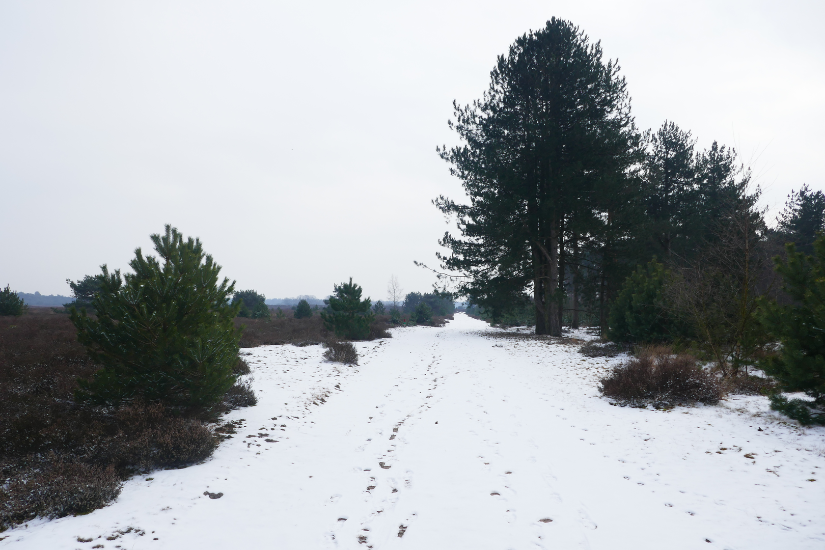
This is a long, very flat loop of roughly 78 km (48.5 miles) with essentially 0 m (0 ft) of elevation gain—more of an endurance walk than a climb. Expect a classic lowland route: straight farm lanes, drainage canals, small villages, and big skies, with long sightlines and frequent exposure to wind and weather. Because the terrain is so level, pacing, foot care, and navigation discipline matter more than “fitness for hills.”
Getting to the start (car + public transport)
Because the start is listed only as “near” (no coordinates or town provided), the most reliable way to pin down the exact trailhead is to open the route in HiiKER and use the start-point pin to identify the nearest road name and village.
- By car: This kind of loop typically begins from a roadside pull-in, small village car park, or a church square. Once you have the start pin in HiiKER, aim for the nearest village center (kerk/church) or community hall—these are common, legal, and easy-to-find parking anchors in rural Dutch areas.
- By public transport: The Netherlands’ rural bus network often connects villages to a nearby rail station. Use the start pin in HiiKER to identify the closest village name, then plan to arrive via train to the nearest larger town, followed by a regional bus to the village center. From there, it’s usually a short walk to the loop.
If you share the route’s lon/lat (or a HiiKER link), I can convert it to the nearest known address or landmark (for example, a specific church, road junction, or named nature area) and tailor the access instructions precisely.
What the terrain is like (and why it still feels big)
With negligible elevation change, the challenge comes from: - Distance and repetition: long straight sections can feel mentally demanding. - Surface variety: expect a mix of paved farm roads, brick lanes, hard-packed gravel, and occasional soft verges. After rain, some unpaved stretches can be slick or muddy at the edges. - Wind exposure: open fields and canal corridors can turn a “flat easy” day into a grind, especially with headwinds.
Plan this as either:
- a very long single-day outing (strong walkers, early start, strict fueling), or
- a two-day itinerary with an overnight stop in a village along the loop.
Navigation and wayfinding
This is the kind of landscape where everything can look similar—parallel roads, repeating canal crossings, and long straight lines. Use HiiKER actively rather than passively: - Keep an eye on junction density: missing one farm turn can add several kilometers. - Watch for private farm access roads that look like public lanes; stay on the mapped line. - In low visibility (fog is common in flat lowlands), confirm each canal crossing and road bend.
Landmarks, landscape character, and regional history
The road names you’ve listed—De Quayweg, Visdelweg, Ripseweg, Kruisbergtaan—strongly suggest a rural lowland setting shaped by agriculture and water management. The defining “landmarks” are often subtle but meaningful:
- Canals, ditches, and pumping infrastructure: Much of the Dutch countryside is engineered to manage water. You’ll likely pass drainage channels, sluices, and possibly pumping stations—quiet reminders of centuries of land reclamation and flood control.
- Field mosaics and farmsteads: Expect long runs between clusters of buildings, with rectangular fields, hedgerows, and occasional tree lines that break the wind.
- Village edges and roadside chapels/crosses: In many regions, small religious markers and wayside memorials appear at junctions—useful as navigation cues and cultural touchpoints.
- Historic route logic: Many “-weg” roads began as practical connectors between hamlets, peat-cutting areas, or reclaimed farmland. Even without dramatic ruins, the layout of roads and canals reflects how communities expanded around workable land and controlled water.
If you want the historical notes to be specific (e.g., which municipality you’re in, whether the loop crosses former peatlands, heath remnants, or WWII-era sites), I’ll need the start location or coordinates.
Nature and wildlife you’re likely to see
Even in heavily farmed areas, wildlife can be excellent—especially along ditches, canal margins, and any patches of unmanaged verge.
- Birdlife: Look for geese, ducks, coots, herons, and seasonal migrants in open fields. Raptors (like kestrels and buzzards) often hunt along field edges.
- Mammals: Hares and rabbits are common in open farmland; roe deer can appear near wooded strips at dawn/dusk.
- Amphibians and insects: Ditch networks support frogs and dragonflies in warmer months.
- Flora: Expect grasses, reeds, and wildflowers along verges; in spring and summer, field margins can be surprisingly colorful where mowing is less frequent.
Practical planning for a 78 km (48.5 mile) flat loop
Time on feet:
- Many hikers average 4–5 km/h (2.5–3.1 mph) on flat ground, but long-distance fatigue and stops matter.
- A realistic moving-time window is 16–20 hours for a single push, or 8–10 hours per day over two days.
Food and water:
- On a route this long, don’t assume

Surfaces
Asphalt
Unknown
Concrete
Paved
Sand
Unpaved
Comments and Reviews
User comments, reviews and discussions about the De Quayweg, Visdelweg, Ripseweg and Kruisbergtaan Loop, Netherlands.
average rating out of 5
0 rating(s)