Download
3D Flyover
Add to list
More
8.9 km
~1 hrs 46 min
0 m
Point-to-Point
“Stroll beneath wide Dutch skies from Garmerwolde’s medieval charm to lively city edges, immersed in rustic peace.”
Starting near the village of Garmerwolde, this easy 9 km (about 5.6 miles) walk follows the tranquil Stadsweg and the meandering Garsthuizermaar, leading you through the heart of Groningen’s rural landscape with virtually no elevation gain—perfect for those seeking a relaxed outing. The trailhead is conveniently located near the Garmerwolde church, a recognizable landmark with its striking medieval tower, making it easy to find whether you arrive by car or public transport. Buses from Groningen city center regularly serve Garmerwolde, and there is limited parking available near the church for those driving.
Route Overview and Navigation
The route begins by heading west along Stadsweg, a centuries-old road that once connected the city of Groningen to the surrounding villages. The flat, open countryside is typical of the province, with expansive fields, grazing livestock, and wide Dutch skies. Navigation is straightforward, but for added confidence and route tracking, HiiKER provides detailed maps and GPS guidance for this trail.
Landmarks and Points of Interest
At approximately 2 km (1.2 miles), you’ll pass the historic Garmerwolde church, dating back to the 13th century. Its Romanesque architecture and detached bell tower are notable features, and the churchyard offers a peaceful spot to pause. Continuing along Stadsweg, the landscape is dotted with traditional farmhouses and drainage ditches, reflecting the region’s long history of land reclamation and water management.
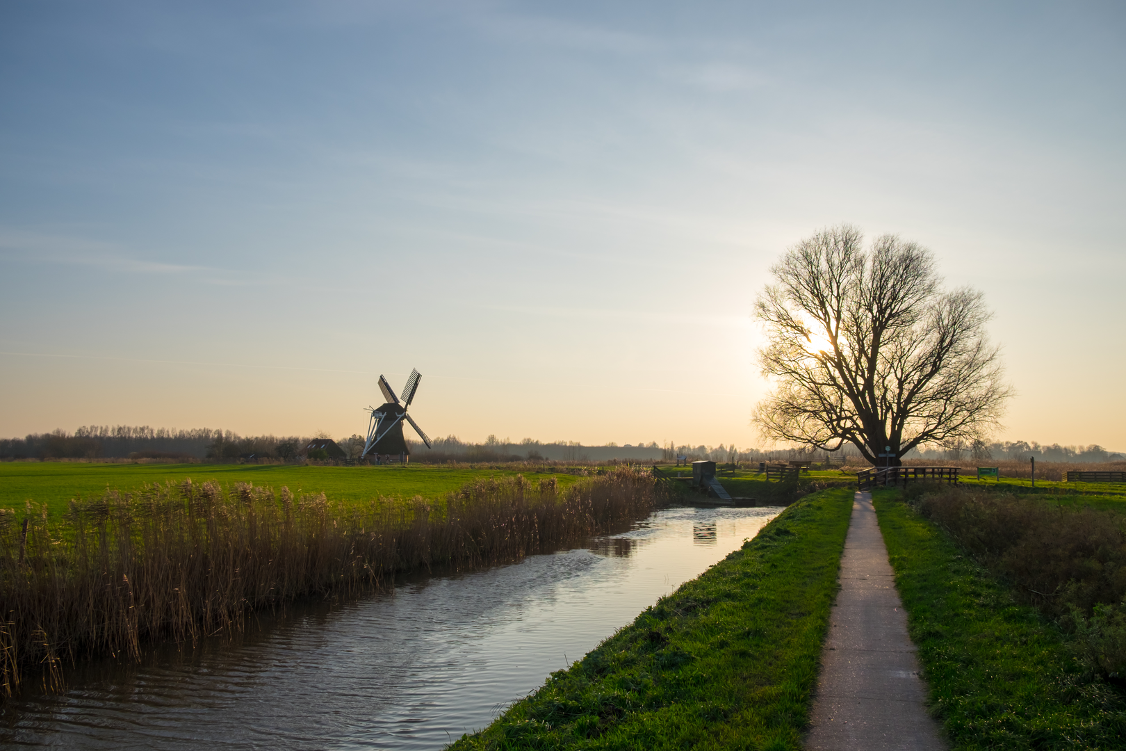
Around the halfway mark, the trail meets the Garsthuizermaar, a small canal that winds through the countryside. This waterway is a haven for birdlife—look for herons, swans, and sometimes even storks in the spring and summer months. The path follows the canal’s gentle curves, offering views of reed beds and wildflowers along the banks.
Approaching Sportcentrum Kardinge
The final stretch leads you toward the outskirts of Groningen city, where the rural scenery gradually gives way to the recreational facilities of Sportcentrum Kardinge. This large sports complex is a local hub, featuring swimming pools, ice rinks, and climbing walls. The area around Kardinge is also known for its nature reserve, with ponds and wooded areas that attract a variety of birds and small mammals.
Practical Considerations
With a total elevation gain of less than 1 metre (3 feet), this route is accessible to most walkers, including families and those new to hiking. The paths are mostly paved or well-maintained gravel, though sections near the canal can be muddy after rain. There are few facilities along the route until you reach Kardinge, so bring water and snacks. Public transport from Kardinge back to Groningen city center is frequent, making it easy to plan a one-way hike.
This trail offers a gentle introduction to the Dutch countryside, blending rural charm, historical sites, and easy access to urban amenities.

Surfaces
Asphalt
Unknown
Concrete
Dirt
Unpaved
Paved
Wood
Comments and Reviews
User comments, reviews and discussions about the Garmerwolde to Sportcentrum Kardinge via Stads Weg and Garsthuizermaar, Netherlands.
average rating out of 5
0 rating(s)