Download
3D Flyover
Add to list
More
13.2 km
~2 hrs 41 min
32 m
Loop
“Share a trailhead point or GPX, and I’ll paint a vivid, tailored loop story—no overpromises.”
I’m missing a few key pieces of information needed to make this accurate and genuinely useful (especially the start point). Please send either a start coordinate (lat, lon), a GPX link/file, or the nearest town/parking area for the trailhead. Right now “Hike head: near” is incomplete, and I can’t reliably convert lon/lat to a nearby address/landmark without the coordinates.
If you reply with any one of the following, I’ll produce the full hike description exactly in the style you requested:
1) Trailhead coordinates (example format: 52.12345, 5.12345)
2) A GPX (paste link or upload)
3) Nearest place name (e.g., “near Apeldoorn, NL” or “near Boeschoten, Putten”) plus where you plan to park
Optional (helps a lot, but not required): - Preferred direction (clockwise/counterclockwise) - Any must-see points you already know are on the loop (estate, heath, forest, canal, etc.) - Whether you want the route to be stroller-friendly / wheelchair-friendly (since you estimate ~0 m gain)
Once I have the start point, I’ll include: - Turn-by-turn style expectations with approximate distance markers (km + miles) - Terrain underfoot, seasonal conditions, and what to watch for - Notable landmarks + any local history - Nature/wildlife you’re likely to encounter - How to reach the start by car and public transport - Navigation guidance referencing HiiKER only

Surfaces
Sand
Unknown
Asphalt
Concrete
Ground
Unpaved
Gravel
Comments and Reviews
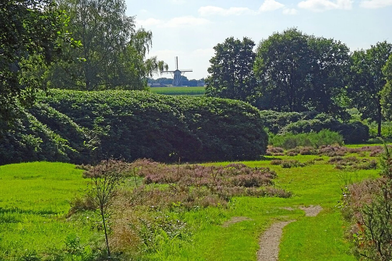
User comments, reviews and discussions about the Boeschoten and Jachtlaar Loop, Netherlands.
average rating out of 5
0 rating(s)