Download
3D Flyover
Add to list
More
10.6 km
~2 hrs 9 min
20 m
Loop
“Wander through blooming heather, ancient woodlands, and tranquil farmland on this serene Veluwe loop.”
Starting from the edge of the Veluwe region, the trailhead for this 11 km (about 6.8 miles) loop is conveniently located near the village of Tongeren, just outside Epe in Gelderland, Netherlands. The hike begins at Boerweg, a rural road easily accessible by car with parking available near the intersection of Boerweg and Tongerenseweg. For those arriving by public transport, buses from Epe or Nunspeet stop at Tongerenseweg, a short walk from the trailhead.
Navigating the Route
The route is almost entirely flat, with negligible elevation gain—less than a meter (0 ft)—making it suitable for all fitness levels and ideal for families or those seeking a leisurely walk. The well-marked paths are a mix of sandy tracks, forest trails, and heathland crossings. For navigation, HiiKER provides a reliable digital map, ensuring you stay on course through the open heath and wooded sections.
Heathland and Forest Landscapes
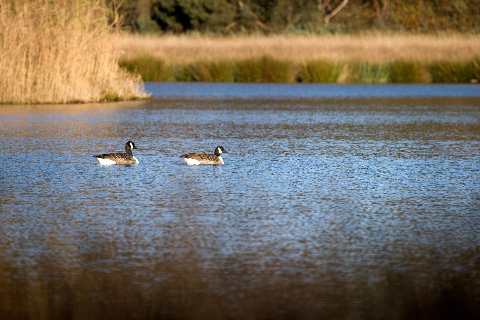
The first section leads you through the Tongerense Heide, a classic Dutch heathland landscape. In late summer, the heather blooms in vibrant purple, attracting bees and butterflies. The open terrain offers sweeping views and a sense of tranquility, punctuated by the occasional Scots pine and birch. Birdwatchers should keep an eye out for skylarks, stonechats, and the rare nightjar, especially at dawn or dusk.
After about 3 km (1.9 miles), the trail transitions into mixed woodland. Here, the path meanders beneath tall oaks and beech trees, with the forest floor carpeted in moss and ferns. Red deer and roe deer are sometimes spotted in the early morning, and the area is home to foxes, badgers, and a variety of woodland birds.
Tongerense Berg and Historical Context
At roughly the halfway point, you’ll reach Tongerense Berg, a modest rise in the landscape that stands out in the otherwise flat Veluwe. While the “berg” (hill) is only a gentle mound, it offers a subtle change in scenery and is a remnant of glacial activity from the last Ice Age. The surrounding area has a rich history, with archaeological finds indicating human presence dating back to prehistoric times. Old boundary stones and remnants of ancient field systems can sometimes be seen along the route, hinting at centuries of agricultural use.
Returning via Boerweg
The final stretch follows Boerweg, a quiet country lane bordered by hedgerows and small farms. This section is especially peaceful, with the chance to spot grazing sheep and traditional Dutch farmhouses. Wildflowers line the verges in spring and summer, and the open fields provide habitat for hares and kestrels.
Practical Information
There are no significant elevation changes, making the route accessible year-round. Sturdy walking shoes are recommended, especially after rain when sandy sections can become muddy. There are no facilities directly on the trail, so bring water and snacks. The nearest cafes and shops are in Epe, about 5 km (3 miles) away. Dogs are welcome but should be kept on a leash, especially during bird nesting season.
For up-to-date trail conditions and navigation, consult HiiKER before setting out.

Surfaces
Sand
Unknown
Asphalt
Dirt
Wood
Ground
Unpaved
Comments and Reviews
User comments, reviews and discussions about the Tongerense Heide and Tongerense Berg via Boerweg, Netherlands.
average rating out of 5
0 rating(s)