Download
3D Flyover
Add to list
More
17.6 km
~3 hrs 32 min
17 m
Loop
“Wander through a tapestry of ancient woods, blooming heath, and timeless Drenthe traditions on this serene loop.”
Starting from the edge of Ruinen village, the trailhead is conveniently located near the main entrance to Boswachterij Ruinen, a well-known forest area in Drenthe, Netherlands. For those arriving by public transport, buses from Meppel or Hoogeveen stop at Ruinen, from where it’s a short walk to the forest entrance. Drivers can park at the Boswachterij Ruinen parking lot, just off the Ruinerweg.
Trail Overview and Navigation
Covering approximately 18 km (about 11.2 miles) with virtually no elevation gain, this loop is ideal for hikers seeking a gentle, scenic walk. The route is well-marked, but for added confidence and real-time navigation, HiiKER provides detailed maps and waypoints.
Landscape and Natural Highlights
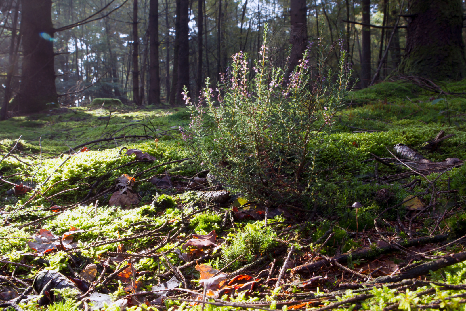
The path meanders through the heart of Boswachterij Ruinen, a mosaic of ancient woodland, heathland, and tranquil meadows. Early in the hike, you’ll pass through dense pine and oak forests, where the morning light filters through the canopy and the air is rich with birdsong. Around the 4 km (2.5 mile) mark, the trail opens onto expansive heathlands, especially striking in late summer when the heather blooms in vibrant purple.
Keep an eye out for the characteristic Drenthe sheep grazing on the heath, a living reminder of the region’s pastoral traditions. Roe deer, foxes, and a variety of woodland birds are commonly spotted, especially in the quieter stretches.
Significant Landmarks and Points of Interest
At roughly 7 km (4.3 miles), you’ll encounter the Commissaris Cramerpad, named after a notable local commissioner who played a key role in the conservation of Drenthe’s natural landscapes. Interpretive signs along this section provide insight into the area’s ecological and historical significance.
Midway through the loop, the trail skirts the edge of the Dwingelderveld National Park, one of the largest wet heathlands in Western Europe. Here, you’ll find several observation points perfect for birdwatching—look for cranes, curlews, and the occasional osprey.
Historical and Cultural Context
The region around Ruinen has a rich history, with evidence of prehistoric settlements and ancient burial mounds visible near the forest edges. The landscape has been shaped by centuries of sheep farming and peat cutting, and remnants of these activities can still be seen in the form of old sheepfolds and peat pits.
Facilities and Practical Tips
There are several rest areas with benches and picnic tables along the route, particularly near the 10 km (6.2 mile) point. Drinking water is not available on the trail, so bring enough for the entire hike. The terrain is mostly flat and well-maintained, making it accessible for most walkers, though sturdy footwear is recommended, especially after rain when some sections can be muddy.
The loop returns to the starting point near the Boswachterij Ruinen parking lot, making logistics straightforward for both public transport users and drivers. For those interested in extending their visit, the nearby village of Ruinen offers cafes and a visitor center with more information about the local flora, fauna, and history.

Surfaces
Unknown
Dirt
Unpaved
Asphalt
Concrete
Cobblestone
Gravel
Sand
Grass
Comments and Reviews
User comments, reviews and discussions about the Commissaris Cramerpad and Boswachterij Ruinen Loop, Netherlands.
average rating out of 5
0 rating(s)