Download
3D Flyover
Add to list
More
112.3 km
~4 days
28 m
Multi-Day
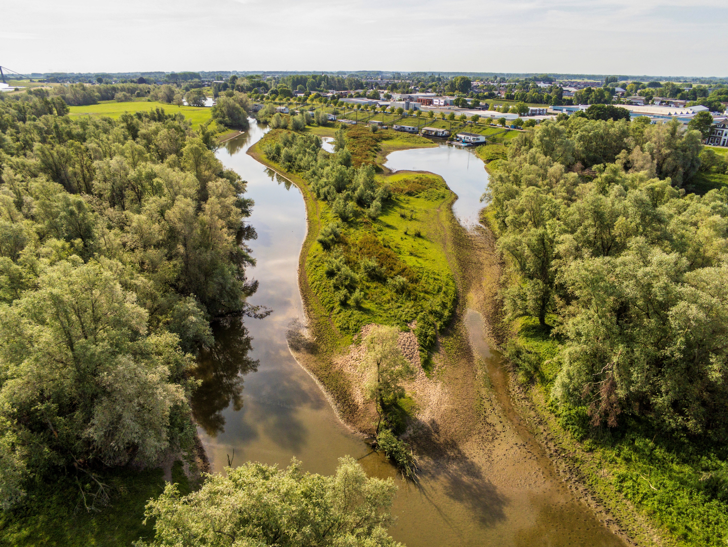
“A flat Drunen loop of dunes, pine shade and big skies—easy terrain, tricky sand navigation.”
You’re looking at a very flat, lowland long-distance loop in and around Drunen (North Brabant, Netherlands), where “elevation gain ~0 m” is basically true in practice—any “climbing” is more like short rises onto dune crests and embankments rather than sustained hills. At ~112 km (about 70 miles), most hikers will plan this as a multi-day walk (3–5 days), even though the terrain is technically easy.
One important planning note: “Drunen Loop” is used online for several different routes (including much shorter local loops). Without a lon/lat for your specific 112 km track, I’ll anchor the start near the most common, clearly defined Drunen trailhead used for local loops: the municipal swimming pool in Drunen (Zwembad Drunen area), around 51.6717, 5.1414—that’s near the town center and a practical place to begin/end a long loop. If you share your GPX or the lon/lat of the actual start, I can match it precisely and convert it to the nearest exact address/landmark.
Getting to the start (car + public transport)
By car: Drunen sits near the A59 corridor; you’ll typically approach via Waalwijk / ’s‑Hertogenbosch direction and then follow local roads into Drunen. Parking is usually straightforward around major community facilities (like the municipal pool area) and at designated nature-area car parks on the edges of the dunes/forests.
By public transport: The region is well-served by Dutch buses linking towns like Waalwijk, ’s‑Hertogenbosch (Den Bosch), Tilburg, and Drunen. A common strategy is: - Train to ’s‑Hertogenbosch or Tilburg (major rail hubs), - Then bus onward toward Drunen. Once in Drunen, you can walk to the start area through town streets and paths. Use HiiKER to confirm the closest stop to your exact start point and to time connections.
What the walking feels like over ~112 km / 70 miles
Expect a loop that alternates between: - Town edges and farm country (straight, efficient paths; big skies; canals/ditches), - Pine and mixed woodland (soft underfoot in places, sheltered from wind), - Open sand and heath landscapes in and around Nationaal Park De Loonse en Drunense Duinen—often nicknamed the “Brabant Sahara” for its broad, wind-shaped sand plains.
Even with minimal elevation gain, the surface is what determines effort: - Firm paths and cycleways can make for fast miles but may feel repetitive. - Loose sand can slow you dramatically and works your calves more than you’d expect on a “flat” hike.
A good way to plan daily stages is by surface: - 20–30 km (12–19 mi) days are comfortable on firm ground. - If your track spends long stretches in drifting sand, 15–25 km (9–16 mi) can be a more realistic day.
Navigation and wayfinding (where people get caught out)
This area is famous for how easy it is to lose your line in the open sand: - In the stuifzand (drifting sand) zones, paths can be faint, braided, or simply disappear. - Wind can reshape footprints and soften edges, so “follow the track” becomes unreliable.
Use HiiKER for: - Keeping your position on the intended line, - Spotting where the route transitions from forest tracks to open sand, - Identifying bailout points to nearby villages/roads if weather turns.
Also watch for busy cycle paths near towns and popular access points—some corridors are shared, and cyclists can be fast and quiet.
Landmarks, landscapes, and the best “big moments”
Because the loop is long, the highlights tend to come in “zones” rather than single viewpoints.
The dunes and “Brabant Sahara” character
In the Loonse and Drunense Duinen area, the landscape opens up into: - Wide, pale sand sheets with scattered pioneer vegetation, - Heath patches that can turn purple in season, - Forest margins that feel like a hard boundary between two worlds: shaded pines on one side, bright sand glare on the other.
On sunny days, the sand can feel surprisingly intense—sun exposure and reflected light are bigger issues than elevation.
Forest belts, heaths, and wet edges
Outside the open sand, you’ll likely pass through: - Conifer stands and mixed woodland, - Heathland and field edges, - Low, wet areas and drainage features typical of Dutch landscapes (ditches, canals, small bridges).
These transitions are where you’ll see the most wildlife variety—

Surfaces
Unknown
Asphalt
Paved
Comments and Reviews
User comments, reviews and discussions about the Drunen Loop, Netherlands.
average rating out of 5
0 rating(s)