Download
3D Flyover
Add to list
More
15.9 km
~3 hrs 11 min
7 m
Loop
“Wander through Flevoland’s oldest forest, where wildflowers, wildlife, and watery vistas tell a reclaimed land’s story.”
Nestled in the heart of Flevoland, the Roggebotzand Loop offers a gentle 16 km (about 10 miles) circuit with virtually no elevation gain, making it an accessible and relaxing walk for all levels. The trailhead is conveniently located near the Roggebotzand Forestry area, just off the N307, close to the Roggebotsluis—a well-known lock and bridge at the edge of the Ketelmeer. This spot is easily reached by car, with parking available at the Roggebotsluis parking area. For those using public transport, buses from Dronten or Kampen stop at Roggebotsluis, a short walk from the trailhead.
Getting Oriented and Navigation
The loop is well-marked, but carrying a digital map on HiiKER is recommended for real-time navigation and to explore side trails. The route is flat throughout, with wide, well-maintained paths suitable for walking, running, or even cycling. Expect a mix of gravel, dirt, and paved sections, all easily manageable with standard hiking shoes.
Natural Highlights and Wildlife
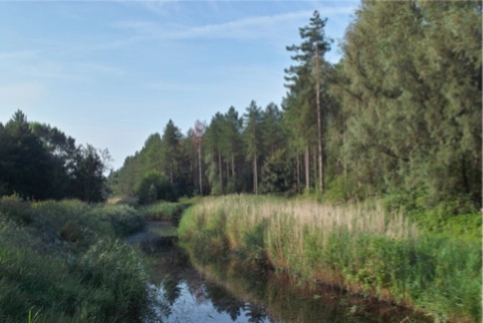
Roggebotzand is the oldest forest in Flevoland, planted on reclaimed land after the Zuiderzee was drained in the mid-20th century. The area is a haven for birdwatchers, with regular sightings of woodpeckers, buzzards, and owls. In spring and summer, the forest floor bursts with wildflowers, while autumn brings a spectacular display of mushrooms and changing leaves. Roe deer, foxes, and hares are often spotted in the quieter stretches, especially early in the morning.
Landmarks and Points of Interest
At around 3 km (1.9 miles), the trail passes close to the Roggebotsluis, where you can watch boats navigating the lock between the Drontermeer and Ketelmeer. This is a great spot for a break, with benches and views over the water. Continuing through the forest, you’ll encounter several small lakes and ponds, remnants of the area’s watery past. At approximately 8 km (5 miles), a wooden observation tower offers panoramic views over the forest canopy and surrounding polders.
Historical Context
The Roggebotzand forest stands as a testament to Dutch engineering and land reclamation. The entire region was underwater until the 1950s, when the Zuiderzee Works transformed the landscape into fertile polder. The forest was planted to stabilize the new land and provide a recreational area for the growing population. Interpretive signs along the route explain the history of the polder and the unique challenges faced during its creation.
Trail Facilities and Preparation
There are several picnic areas along the route, and basic restrooms are available at the main parking area near Roggebotsluis. The trail is open year-round, but waterproof footwear is advisable in wetter months due to occasional muddy patches. Dogs are welcome but must be kept on a leash in most sections to protect wildlife. Cyclists share some parts of the route, so be mindful of others.
For those seeking a peaceful, nature-rich walk with a fascinating backstory, the Roggebotzand Loop is an ideal choice. Use HiiKER to stay on track and make the most of your visit to this unique corner of Flevoland.

Surfaces
Unknown
Gravel
Ground
Concrete
Asphalt
Comments and Reviews
User comments, reviews and discussions about the Roggebotzand Loop, Netherlands.
average rating out of 5
0 rating(s)