Download
3D Flyover
Add to list
More
14.0 km
~2 hrs 48 min
7 m
Loop
“Stroll through riverside history, golden linden avenues, and open countryside on this easygoing Deventer loop.”
Starting from the leafy outskirts of Deventer, this 14 km (about 8.7 miles) loop offers a gentle, flat walk with virtually no elevation gain, making it accessible for most walkers. The trailhead is conveniently located near the IJsselkade, a prominent riverside promenade in Deventer, easily reached by a short walk from Deventer’s central train station. For those arriving by car, parking is available near the IJsselkade or in the city center.
Getting Oriented and Setting Out
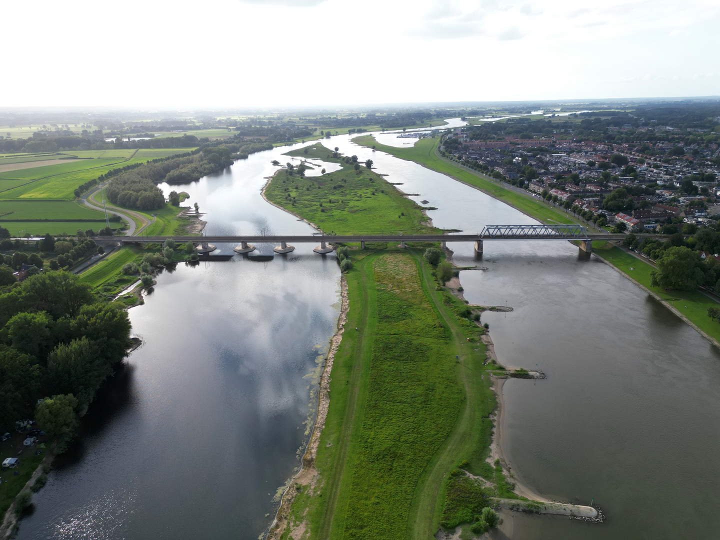
The route begins along the IJsselkade, where the wide river IJssel flows past historic warehouses and stately merchant houses. This area is a highlight for those interested in Dutch river history, as Deventer has been a key trading city since medieval times. The riverside is lively, with views of passing boats and the city’s iconic skyline, including the Lebuinus Church tower.
Onder de Linden and Urban Greenery
After leaving the riverside, the path leads through the Onder de Linden district, a tranquil neighborhood lined with linden trees. Here, the trail meanders through quiet residential streets and small parks, offering a glimpse into local life. In spring and summer, the linden trees are fragrant and buzzing with bees, while autumn brings a golden canopy overhead.
Laan van Borgele and Rural Edges
The route continues toward Laan van Borgele, transitioning from urban to rural scenery. This stretch is characterized by open fields, small farms, and hedgerows. Birdwatchers may spot herons, storks, and various songbirds along the ditches and meadows. The flat terrain makes for easy walking, and the open landscape provides expansive views of the Dutch countryside.
Historical and Natural Highlights
Deventer’s surroundings are steeped in history. The city itself is one of the oldest in the Netherlands, and the trail passes near remnants of old city defenses and trading routes. Along the IJsselkade, plaques and information boards detail the area’s significance as a Hanseatic trading hub. The loop also skirts the edge of the Borgele estate, where centuries-old trees and traditional Dutch farmhouses evoke the region’s agricultural heritage.
Navigation and Practical Tips
The entire loop is well-marked, but for added confidence, use HiiKER to follow the route and check for any updates or diversions. The flat profile (0 meters/0 feet elevation gain) means no special gear is needed beyond comfortable walking shoes. There are several benches and picnic spots along the way, especially near the river and in the parks.
Access and Amenities
Deventer is well-connected by train, with frequent services from major Dutch cities. From the station, it’s a 10-minute walk to the IJsselkade. Buses also serve the city center. Cafés, shops, and restrooms are plentiful in Deventer, especially near the start and end of the loop. For a longer day out, consider exploring Deventer’s historic center before or after your walk.

Surfaces
Unknown
Asphalt
Concrete
Dirt
Grass
Gravel
Sand
Comments and Reviews
User comments, reviews and discussions about the Onder de Linden, Ijsselkade and Laan van Borgele Loop, Netherlands.
average rating out of 5
0 rating(s)