Download
3D Flyover
Add to list
More
9.2 km
~1 hrs 49 min
0 m
Loop
“A gentle woodland-and-heath loop where sandy tracks and a quiet ven invite an unhurried wander.”
This easy, mostly level loop of about 9 km (5.6 mi) is ideal for a relaxed half-day walk through lowland woodland and heath-edge landscapes, with long stretches that feel quiet and sheltered. With an estimated ~0 m (0 ft) of elevation gain, the effort comes more from distance than climbing—expect gentle, rolling micro-undulations at most, plus the occasional sandy or soft forest track that can feel a bit slower underfoot.
Getting to the start (car + public transport)
Because the hike head is listed only as “near” (with no coordinates or place name), I can’t reliably convert the start point to a nearest address or landmark yet. If you share a lon/lat (or a HiiKER link), I’ll pin it to the closest recognizable trailhead/parking area and tailor the directions precisely.
For planning right now, here’s the most common setup for loops like this in the Buntven/Zandbos area: - By car: Look for a signed forest/ven access point with a small pull-in or formal lot near the woodland edge. Arrive earlier on weekends—these lowland nature areas can be popular with walkers and cyclists, and parking fills quickly. - By public transport: Typically, you’ll use a regional train to the nearest town station, then a local bus (or a short taxi) to the forest edge. If buses are infrequent, plan your return time carefully so you’re not waiting long at a rural stop.
If you tell me the nearest town name (even approximate), I’ll give a concrete route (station, bus line patterns, and a realistic walk-in distance).
You’ll want to load the loop on HiiKER before you go; in flat, similar-looking woodland, it’s easy to drift onto parallel tracks without realizing it.
What the route feels like underfoot
Most of this loop is likely on wide forest roads and compacted paths, with occasional narrower singletrack where the vegetation closes in. Given the “0 m gain” profile, the terrain is generally forgiving, but a few conditions can still affect comfort: - Sandy sections: Common in pine/heath landscapes—stable, but can be tiring and a bit slippery when dry and loose. - Wet margins near the ven (Buntven): Even in flat country, the ground near water can be soft. After rain, expect muddy patches and shallow puddling on low points of the track. - Roots and pine needles: In conifer stands, needles can hide roots; watch footing, especially if it’s damp.
A good pacing plan for most hikers is 2–3 hours of walking time for 9 km (5.6 mi), plus stops.
Landmarks and nature you’re likely to notice
The name “Buntven” strongly suggests a ven—a small, often peat-influenced lake/pond typical of sandy lowlands. These waters can be surprisingly rich ecologically, even when the surrounding terrain is flat.
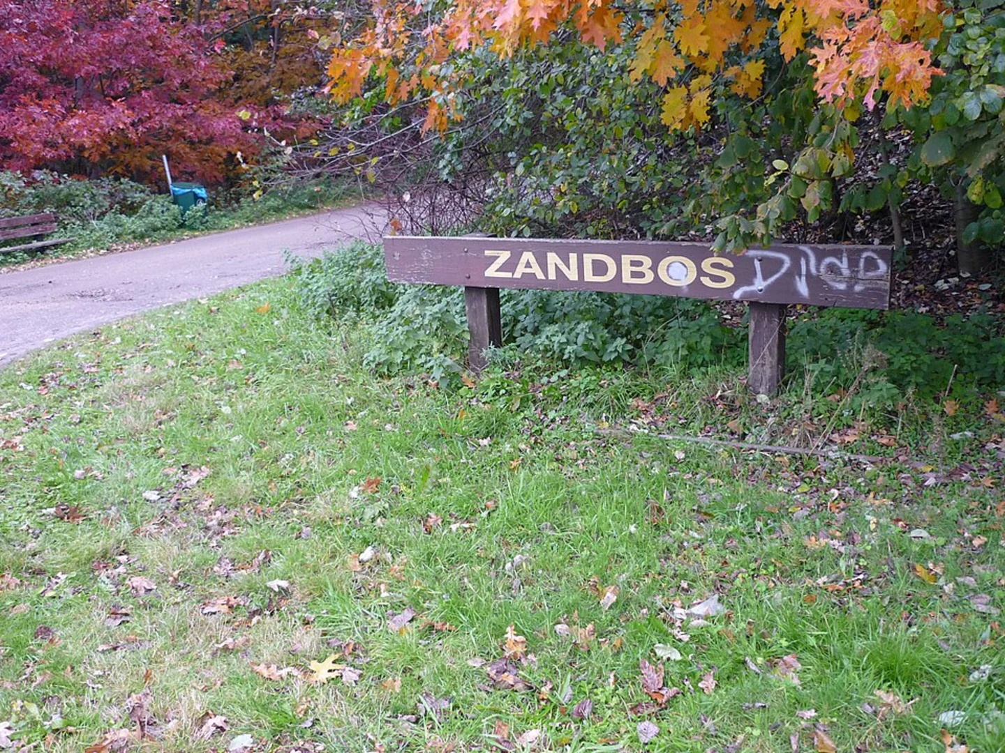
Approximate breakdown (to help you plan): - 0–2 km (0–1.2 mi): Settling in on forest track—often the most “managed” feeling section, with straighter lines and wider paths. - 2–5 km (1.2–3.1 mi): The most scenic stretch tends to be where the route approaches the ven and transitions between woodland and more open patches. Look for subtle changes in vegetation: wetter-loving plants closer to the water, drier heath/grass species on slightly higher sandy ground. - 5–9 km (3.1–5.6 mi): A return through Zandbos (“sand forest”) character—typically pine and mixed woodland, with long, quiet corridors and occasional clearings.
Wildlife and seasonal highlights - Birdlife: Wetland edges often attract ducks, coots, and songbirds; woodland sections can have woodpeckers and small passerines. Early morning is best for activity. - Mammals: In quiet forests you may spot deer sign (tracks, browsing) more often than the animals themselves. - Insects: Near still water, expect mosquitoes and midges in warmer months—bring repellent if you’re sensitive. - Flora: Heath-edge areas can show seasonal color (heather and other low shrubs), while wetter margins may have reeds/sedges.
Navigation and “easy” trail pitfalls
Even easy loops can trip people up in flat forests because: - Many intersections look identical. You can take a wrong turn and still feel like you’re “on trail.” - Parallel tracks run close together. You might rejoin the loop later without noticing, which can shorten or lengthen the walk unexpectedly.
To avoid that, keep HiiKER open and do quick checks at major junctions—especially around the ven where side paths often lead to viewpoints or fishing/quiet spots.
Practical prep: what to bring and what to watch for
- Footwear: Light hiking shoes are usually enough, but choose something with grip for sandy corners and damp patches.
- Layers: Flat, wooded routes can feel cooler and more humid under canopy; wind can pick up near open water.
- Water/snacks: For 9 km (5.6 mi), a small bottle and a snack is plenty for most people, but bring more on warm days.
- Ticks: In woodland/heath mosaics, ticks can be present in warmer seasons—long socks and a post-hike check help.
- Respect quiet zones: Ven/woodland reserves often have sensitive habitats; stay on established paths near the water’s edge.
Historical context to look for
Lowland

Surfaces
Unknown
Asphalt
Grass
Unpaved
Comments and Reviews
User comments, reviews and discussions about the Buntven and Zandbos Loop, Netherlands.
average rating out of 5
0 rating(s)