Download
3D Flyover
Add to list
More
54.6 km
~2 days
6 m
Multi-Day
“A windswept, water‑laced lowland loop from Berkendonk to Peel farm lanes—rewarding, but a long day.”
This is a long, flat, lowland loop of roughly 54 km (33.6 mi) with essentially 0 m (0 ft) of climbing—more of an endurance day than a “hill” hike. Expect a mix of recreation-lake paths, canal/stream edges, farm lanes, and quiet rural roads on the east side of Helmond and into the Peel-region countryside toward Bakel (Gemert-Bakel municipality). The walking is generally straightforward, but the length means you’ll want a solid pacing plan, food strategy, and a reliable track loaded in HiiKER.
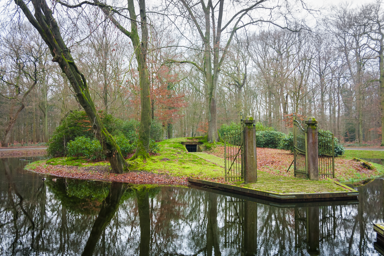
A practical “anchor” for the start is Recreatieplas Berkendonk (Berkendonk recreational lake), Helmond, a well-known recreation area on the east side of the city. (helmond.nl)
Getting to the start (Berkendonk, Helmond)
By car - Navigate to Recreatieplas Berkendonk, Helmond and use the signed parking areas around the recreation site. It’s a popular local destination, so arrive early on warm weekends. (helmond.nl)
By public transport - Aim for Helmond (rail connections via the Eindhoven region are common), then continue by local bus/taxi to the Berkendonk recreation area. If you’re planning this precisely, check the day’s bus routing and stops and then pin the final approach in HiiKER so you don’t lose time weaving through residential streets.
What the terrain feels like (and why “easy” can still be big)
Even with minimal elevation change, this loop can feel demanding because: - Surface variety: compact gravel, paved cycle paths, and occasional softer dirt/grass edges near water. - Exposure: open agricultural stretches can be windy with little shade. - Foot fatigue: flat, repetitive stride for 54 km (33.6 mi) can stress hips/feet more than a shorter hilly hike.
Plan on 8–12+ hours moving time depending on pace and breaks. If you’re not used to ultra-distance walking, treat it like an all-day outing with a conservative start.
Route flow and key waypoints
0–10 km (0–6.2 mi): Berkendonk’s water and woodland edge
You’ll likely begin with the most “park-like” walking of the day: paths around Berkendonk, where the landscape alternates between open water views and a more natural, wooded side. The area is explicitly managed as a public recreation zone, so expect joggers, cyclists, anglers, and (in season) swimmers. (helmond.nl)
Wildlife here is typical of Dutch lowland water-and-wood mosaics: waterfowl (ducks, geese, coots), small songbirds in the treeline, and plenty of insect life in warm months. Early morning is best for quieter wildlife movement.
10–30 km (6.2–18.6 mi): Rural lanes—Lekerstraat and the farm belt As you leave the immediate recreation zone, the loop settles into long, efficient kilometers on quiet lanes and field edges. “Lekerstraat” in this context is part of the local road network you’ll use to stitch together the countryside segments; expect: - Long straightaways between drainage ditches and fields - Farm traffic (tractors, delivery vans) on narrow roads—stay alert on bends and use verges when safe - Limited services: carry enough water/food to bridge big gaps
Because the region is low and managed, you’ll see the classic Dutch water-control landscape: ditches, small canals, culverts, and pumping infrastructure. After rain, some path edges can be slick; after dry spells, fine dust on hardpack can make footing feel “skatey” on corners.
30–45 km (18.6–28.0 mi): Peeteindseweg and the approach toward Bakel This is where the day can become mentally tough: the scenery is still pleasant, but the repetition of flat lanes and the accumulating distance are the main challenge. “Peeteindseweg

Surfaces
Asphalt
Unknown
Dirt
Unpaved
Sand
Concrete
Gravel
Wood
Paved
Comments and Reviews
User comments, reviews and discussions about the Berkendonk, Lekerstraat and Peeteindseweg Loop, Netherlands.
average rating out of 5
0 rating(s)