Download
3D Flyover
Add to list
More
21.2 km
~4 hrs 19 min
44 m
Loop
“A breezy, low-lying loop through farm lanes and watery field edges—easy-going, if conditions cooperate.”
This is a low-lying, mostly level 21 km (13.0 mi) loop with essentially no meaningful climbing (about 0 m / 0 ft of gain). Expect a relaxed, steady day on a mix of paved farm lanes, compacted gravel paths, and grassy field-edge tracks—ideal for an “easy” effort, but still long enough that foot comfort, wind, and wet ground can matter more than hills.
Because your start point is listed only as “near” (no coordinates or town), I can’t reliably convert the lon/lat to a nearby address or landmark yet. If you share the start coordinates (or the GPX / a HiiKER link), I’ll pin it to the nearest known address or significant landmark and tailor the access directions and on-trail cues to the exact trailhead.
Getting to the start (car + public transport)
By car (general approach for flat rural loops in the Low Countries): - Aim for the nearest village center to the loop and look for public parking by a church square, community hall, or sports fields—these are typically the most dependable all-day options. - If the route touches nature reserves or signed walking networks, there’s often a small trailhead pull-in with an information board. Park only where explicitly allowed; farm access lanes can look like parking but may be private.
By public transport (general approach): - The easiest strategy is usually train to the nearest larger town, then a regional bus to a village stop close to the loop. - From a village stop, plan on a 0.5–2.5 km (0.3–1.6 mi) walk to reach the loop comfortably. - Once you provide the start coordinates/town, I can name the exact station/stop and the most straightforward walking line to the trailhead.
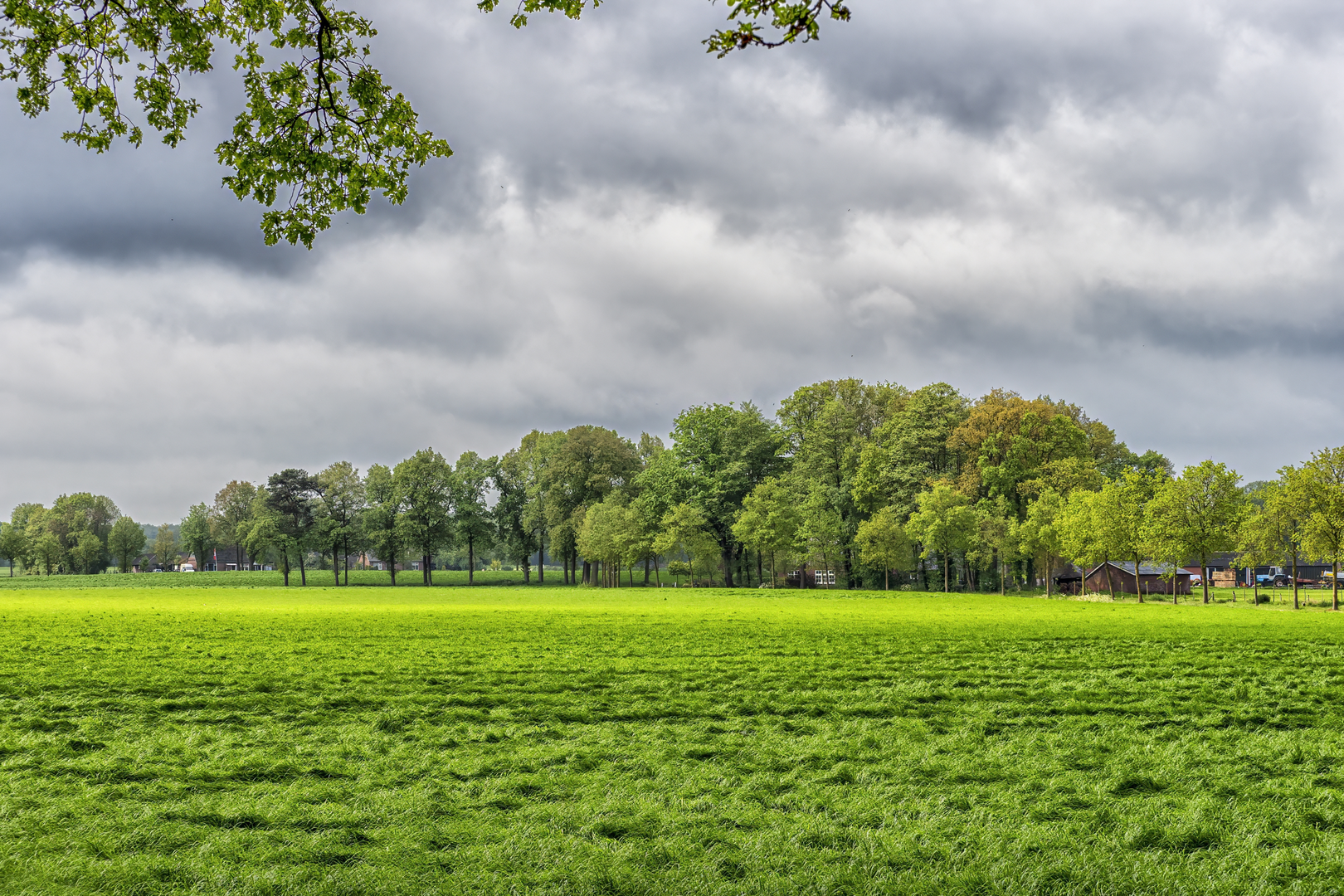
What the terrain feels like over 21 km / 13 mi
With ~0 m / 0 ft of gain, the “difficulty” comes from: - Distance and surface repetition: long straight lanes can feel longer than the map suggests. - Wind exposure: open fields and dikes can turn an easy walk into a steady grind if it’s breezy. - Seasonal wetness: grassy margins and low spots can hold water; after rain, expect soft ground and occasional mud.
Footwear: light hikers or trail shoes are fine in dry spells; after wet weather, choose something with a bit more water resistance and tread.
Route flow and pacing (approximate)
Without your exact trailhead, this is the most typical way a 21 km flat loop like this tends to “read” on the ground:
0–5 km (0–3.1 mi): Settling in on lanes and field edges
You’ll likely start on a quiet access road or multi-use path leaving a village edge, quickly transitioning into open agricultural land. This is where you’ll feel the wind first and where morning dew can soak shoes if the route uses grassy verges.5–12 km (3.1–7.5 mi): The most open, most exposed section
Expect long sightlines, drainage ditches, and straight tracks. If there are any dike-top paths or canal-side segments, they’re usually here—excellent for navigation, but exposed. This is also where you’ll want to keep an eye on surface changes: a firm gravel line can abruptly become a softer farm track.12–17 km (7.5–10.6 mi): Quieter backroads and small wooded pockets
Many loops of this style thread through small shelterbelts, hedgerows, or short tree-lined stretches that break up the openness. These pockets can be noticeably calmer (less wind) and are good places for a snack stop.17–21 km (10.6–13.0 mi): Returning toward settlement
You’ll often rejoin more pavement and pass scattered homes or farmyards. This is where fatigue shows up despite the flat profile—watch for hot spots on feet and keep a steady cadence.
Navigation (keep it simple)
Use HiiKER to: - Confirm you’re on the correct side of canals/ditches (crossings can be infrequent). - Catch small turns where a farm lane continues straight but the walking route slips onto a parallel track. - Identify the next reliable crossing point if a path is temporarily blocked by farm activity or high water.
In very flat terrain, it’s easy to drift off-route because everything looks similar—treat every junction as a decision point, even when it feels obvious.
Landmarks, landscape, and what to look for
On a loop like Bentelerzijde and Den Heimer, the “highlights” are usually subtle and rewarding if you know what to notice:
- Water management features: drainage ditches, culverts, small pumping stations, and raised embankments. These are the backbone of living in reclaimed or low-lying land and often explain why paths run where they do.
- Farm architecture and yard layouts: long, straight access lanes, barns set back from the road, and windbreak tree lines. Stay on the public right-of-way and give working yards a wide berth.
- Field-edge ecology: even in intensively farmed areas, the margins can hold wildflowers in season and provide habitat corridors.
Nature and wildlife (seasonal expectations)
Even in flat agricultural regions, wildlife can be surprisingly active:
- Birdlife:
- In open fields and wet margins: geese, ducks, herons/egrets, and various waders depending on local water levels.
- Along hedges and tree lines: songbirds and raptors using posts and lone trees as hunting perches.
- In open fields and wet margins: geese, ducks, herons/egrets, and various waders depending on local water levels.
- **

Surfaces
Unknown
Asphalt
Sand
Ground
Grass
Concrete
Wood
Comments and Reviews
User comments, reviews and discussions about the Bentelerzijde and Den Heimer Loop, Netherlands.
average rating out of 5
0 rating(s)