Download
3D Flyover
Add to list
More
6.9 km
~1 hrs 28 min
56 m
Loop
“Wander through enchanting forests, rolling hills, and echoes of history on this vibrant Dutch countryside trail.”
Embarking on the Tanken Weg and Paaschberg trail in the Landgoederen Oldenzaal region offers a delightful 7-kilometer (approximately 4.3 miles) journey through the picturesque landscapes of Overijssel, the Netherlands. With an elevation gain of around 100 meters (328 feet), this easy-rated hike is suitable for most fitness levels and provides a rich blend of natural beauty and historical landmarks.
Getting to the Trailhead
The trail begins near Hotel 't Kruisselt, located at Kruisseltlaan 3, 7587 NM De Lutte. For those traveling by car, parking is available at the hotel. If you're using public transport, the nearest train station is Oldenzaal Station. From there, you can take a bus towards De Lutte and alight at the stop closest to Hotel 't Kruisselt. It's advisable to check the latest bus schedules to plan your journey accordingly.
Trail Overview
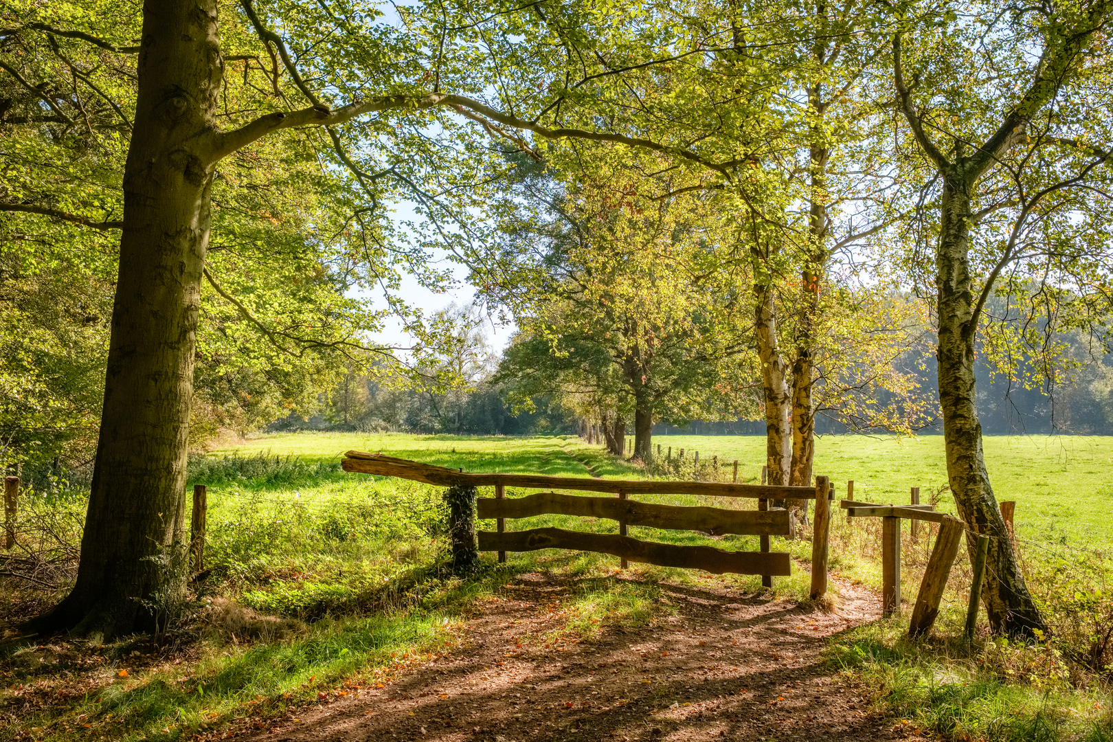
Starting from Hotel 't Kruisselt, the trail meanders through a diverse landscape of forests, open fields, and gentle hills. The path is well-marked and consists of both paved and unpaved sections, making it accessible for hikers of all ages. As you progress, you'll encounter a variety of flora and fauna, including ancient beech and oak trees, as well as a range of bird species native to the region.
Key Landmarks Along the Route
Tankenberg: Approximately 1.4 kilometers (0.87 miles) into the hike, you'll reach Tankenberg, the highest point in Overijssel at 85 meters (279 feet). At the summit, there's a historic hexagonal chapel known as the "Koepel op de Tankenberg," built in 1840. This site is steeped in legend, with tales suggesting it was once a temple dedicated to Tanfana, a Germanic goddess of fertility. The panoramic views from here are truly breathtaking. (alltrails.com)
Paaschberg: Continuing along the trail, around the 5.6-kilometer (3.48 miles) mark, you'll ascend Paaschberg, another notable hill in the area. While slightly lower than Tankenberg, Paaschberg offers its own unique vistas and is surrounded by lush woodlands that are particularly vibrant in the spring and autumn months.
Domineesbult: A historical mound believed to have been constructed in the early 19th century, possibly by Dominee Palthe. This site provides a serene spot for reflection and offers views of the surrounding countryside. (landschapoverijssel.nl)
Aardappelkelder (Potato Cellar): Along the route, you'll come across a restored traditional potato cellar. These structures were once common on Twentse farms, used to store potatoes during the winter months. The restoration efforts highlight the region's commitment to preserving its agricultural heritage. (landschapoverijssel.nl)
Flora and Fauna
The trail traverses a variety of ecosystems, from dense forests to open meadows. Depending on the season, you might encounter blooming wildflowers, especially in the spring. Birdwatchers can look forward to spotting species such as the European robin, blackbird, and various types of woodpeckers. The area is also home to small mammals like hares and foxes, so keep an eye out for these elusive creatures.
Historical Significance
The Landgoederen Oldenzaal region is rich in history, with evidence of human habitation dating back centuries. The Tankenberg area, in particular, is associated with ancient Germanic rituals, and the presence of the Koepel op de Tankenberg adds a layer of historical intrigue to your hike. Additionally, the restored aardappelkelder serves as a testament to the region's agricultural past and the importance of potato cultivation in Dutch history.
Navigation and Safety
While the trail is well-marked, it's always a good idea to have a reliable navigation tool on hand. The HiiKER app offers detailed maps and trail information for this route, ensuring you stay on track. As with any hike, wear appropriate footwear, carry sufficient water, and be prepared for changing weather conditions. The trail's easy rating makes it suitable for families and casual hikers, but always exercise caution on uneven or slippery sections.
By following this guide, you'll be well-prepared to enjoy the natural beauty and historical richness of the Tanken Weg and Paaschberg trail in Landgoederen Oldenzaal.

Surfaces
Asphalt
Unknown
Unpaved
Sand
Gravel
Comments and Reviews
User comments, reviews and discussions about the Tanken Weg and Paaschberg in Landgoederen Oldenzaal, Netherlands.
average rating out of 5
0 rating(s)