Download
3D Flyover
Add to list
More
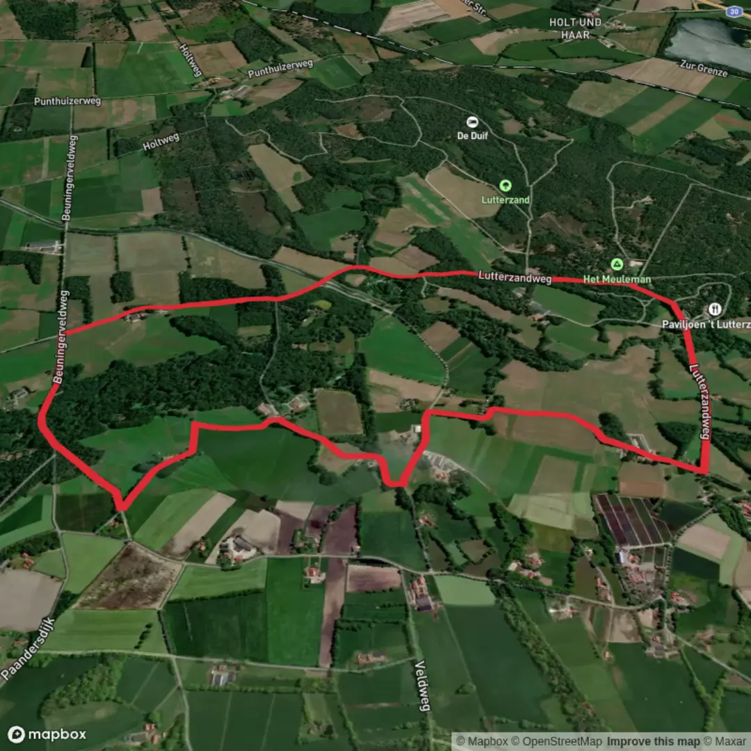
6.9 km
~1 hrs 23 min
0 m
Loop
“A gentle waterside loop through Dutch lowlands—bridges, reeds, and birdsong—best savoured at an unhurried pace.”
A flat, waterside loop of about 7 km (4.3 miles) with essentially 0 m (0 ft) of climbing, this walk is ideal for an easy half-day outing where the main “effort” is simply steady forward motion on level paths. Expect a mix of riverside/streamside track, lowland woodland edges, and open, managed countryside typical of the Dutch lowlands—excellent for relaxed pacing, birdwatching, and photography.
Getting to the start (car + public transport)
Because the hike details you provided don’t include coordinates (the “Hike head: near …” line is incomplete), I can’t reliably convert a lon/lat to a nearest address or landmark yet. If you share the start coordinates (or a nearby town/parking area), I’ll pin it to the closest recognizable place and tailor the approach precisely.
In the meantime, here’s how this type of loop is usually accessed in the Netherlands: - By car: Look for signed parking near the nearest bridge access (often a small pull-in or village car park close to the water). Arrive earlier on weekends—popular flat loops can fill limited parking quickly. - By public transport: The most common pattern is train to the nearest larger station, then a local bus toward the closest village by the water, finishing with a 10–25 minute walk (0.8–2 km / 0.5–1.2 miles) to the trail start. Once you provide the “near ___” location (or coordinates), I can suggest the most sensible station/bus stop pairing.
What the route feels like underfoot
With negligible elevation change, the main variables are surface and exposure: - Surfaces: Expect compacted gravel, paved cycle-path segments, and possibly short stretches of dirt or grass track. After rain, lowland paths can hold water—muddy patches and slick bridge approaches are the most common “technical” moments on an otherwise easy walk. - Exposure: You’ll likely be in open country for portions of the loop. Wind can be the biggest factor—bring a light shell even on mild days.
Bridges, waterways, and the character of the loop
The names Kribbenbrug and Beverborgsbrug point to a route structured around two bridge crossings, which typically creates a satisfying “figure” or loop around a watercourse.
- Kribbenbrug: “Kribben” refers to groynes—river engineering structures used to manage flow, reduce bank erosion, and maintain navigable channels. Even if you don’t see dramatic current, the landscape often reflects centuries of Dutch water management: straightened banks, reinforced edges, and carefully controlled water levels.
- Beverborgsbrug: “Bever” is Dutch for beaver, and while you may or may not see one, the habitat cues are often present: slow-moving water, vegetated banks, and quiet backwaters. If beavers are active locally, look for gnawed trunks, peeled branches, and slide marks where animals enter the water.
You’ll likely spend much of the 7 km (4.3 miles) close to water, with frequent views across reeds, ditches, or a broader river/canal corridor. These lowland waterways are also natural wildlife corridors, so even a short loop can feel surprisingly “alive.”
Nature and wildlife to look for
This kind of flat, watery landscape is prime for birds and small mammals: - Birdlife: Expect common water and farmland species—ducks, geese, coots, moorhens, and depending on season, waders along muddy margins. Overhead, you may see raptors cruising field edges. - Mammals: If beavers are present, dawn/dusk is best. Otherwise, watch for signs rather than sightings. You may also spot rabbits and other small mammals along hedgerows. - Plants: Reeds, willows, and wet meadow vegetation dominate near the water; slightly higher ground often transitions to mixed shrubs and managed tree lines.
If you’re walking in spring/summer, insects can be intense near still water—pack repellent if you’re sensitive.
Landmarks and historical context
Even on a short loop, the “story” is often the engineered landscape: - Water control and land use: Bridges, embankments, drainage channels, and managed banks reflect the Netherlands’ long history of reclaiming and protecting low-lying land. The flatness isn’t just geology—it’s also the result of sustained human planning. - Agricultural edges: You’ll likely pass fields and pasture. Stay on the marked path and respect farm access points; gates and narrow crossings are common near bridges.
Practical planning: timing, gear, and navigation
- Time estimate: Most hikers will take 1.5–2.5 hours for 7 km (4.3 miles), depending on stops for photos and wildlife.
- Footwear: Light hiking shoes are fine in dry conditions; after rain, consider water-resistant footwear for puddled track sections.
- Clothing: Wind layer recommended; open stretches can feel cooler than expected.
- Navigation: Use HiiKER to confirm the exact loop line, bridge approaches, and any short connectors where multiple paths meet near the water.
- Safety notes: The main hazards are slippery bridge decks/ramps, soft verges near water (avoid stepping too close to undercut banks), and cyclists if you share multi-use paths—keep right and be predictable.
If you send the start lon/lat (or the town/village name near the trailhead)

Surfaces
Asphalt
Ground
Dirt
Gravel
Unknown
Grass
Comments and Reviews
User comments, reviews and discussions about the Kribbenbrug and Beverborgsbrug Loop, Netherlands.
average rating out of 5
0 rating(s)