Download
3D Flyover
Add to list
More
6.6 km
~1 hrs 19 min
0 m
Point-to-Point
“A mostly level stroll from De Bilt’s edge to Soesterberg, trading roadside bustle for hushed Heuvelrug woods.”
This is a short, mostly level point‑to‑point walk of about 7 km (4.3 mi) with essentially 0 m (0 ft) of climbing, linking the edge of De Bilt / Bilthoven to Soesterberg along the Amersfoortseweg corridor through the Utrechtse Heuvelrug landscape. Expect easy footing overall, a mix of paved paths/sidewalks and compact forest tracks, and frequent opportunities to step off the road environment into quieter woodland.
Getting to the start (De Biltsche Hoek area)
Because “De Biltsche Hoek” is used locally for the corner/area around De Bilt/Bilthoven rather than a single signed trailhead, the most practical way to aim your arrival is via nearby, well-known transport nodes:
- By public transport:
The most straightforward rail access is typically via Bilthoven Station (Station Bilthoven), then a short bus ride or walk toward the Amersfoortseweg (N237) side of town. From Utrecht Centraal, trains to Bilthoven are frequent, and local buses connect toward De Bilt/Soesterberg. Use HiiKER to pinpoint the exact start point on Amersfoortseweg and match it to the closest bus stop on the day you go. - By car:
Navigate toward Amersfoortseweg (N237) near De Bilt/Bilthoven and park only where permitted (residential restrictions are common). If you can’t identify a dedicated lot at your exact start, a reliable strategy is to park near a larger landmark such as Bilthoven Station and walk or bus to the start, or park near the Soesterberg end and walk back if you prefer finishing at your car.
If you share the route’s exact coordinates (or a HiiKER link), I can translate the start/end into the nearest specific street address or named landmark with much higher confidence.
What the walk feels like underfoot
With negligible elevation change, the “effort” here is less about climbing and more about surface choice and exposure: - Paved segments near built-up areas can feel brisk and straightforward, but may have bike traffic (common throughout the Netherlands). - Forest edges and sandy soils of the Utrechtse Heuvelrug region can introduce short stretches of looser footing—still easy, but worth noting if it has been dry and churned up by bikes or horses. - After rain, some unpaved connectors can hold shallow puddles; waterproof shoes aren’t mandatory for a 7 km (4.3 mi) easy walk, but they help if you plan to step onto side tracks.
Route breakdown (approximate distances)
0.0–2.0 km (0.0–1.2 mi): Settling in along the Amersfoortseweg corridor
You’ll start in a semi-urban edge zone where the landscape transitions quickly from neighborhoods to greener verges. Expect excellent wayfinding if you keep the main corridor in mind, but watch for the Dutch “silent traffic”: fast bicycles and e-bikes can appear quickly on shared paths. If you’re walking in a group, keep right and leave room for overtakes.
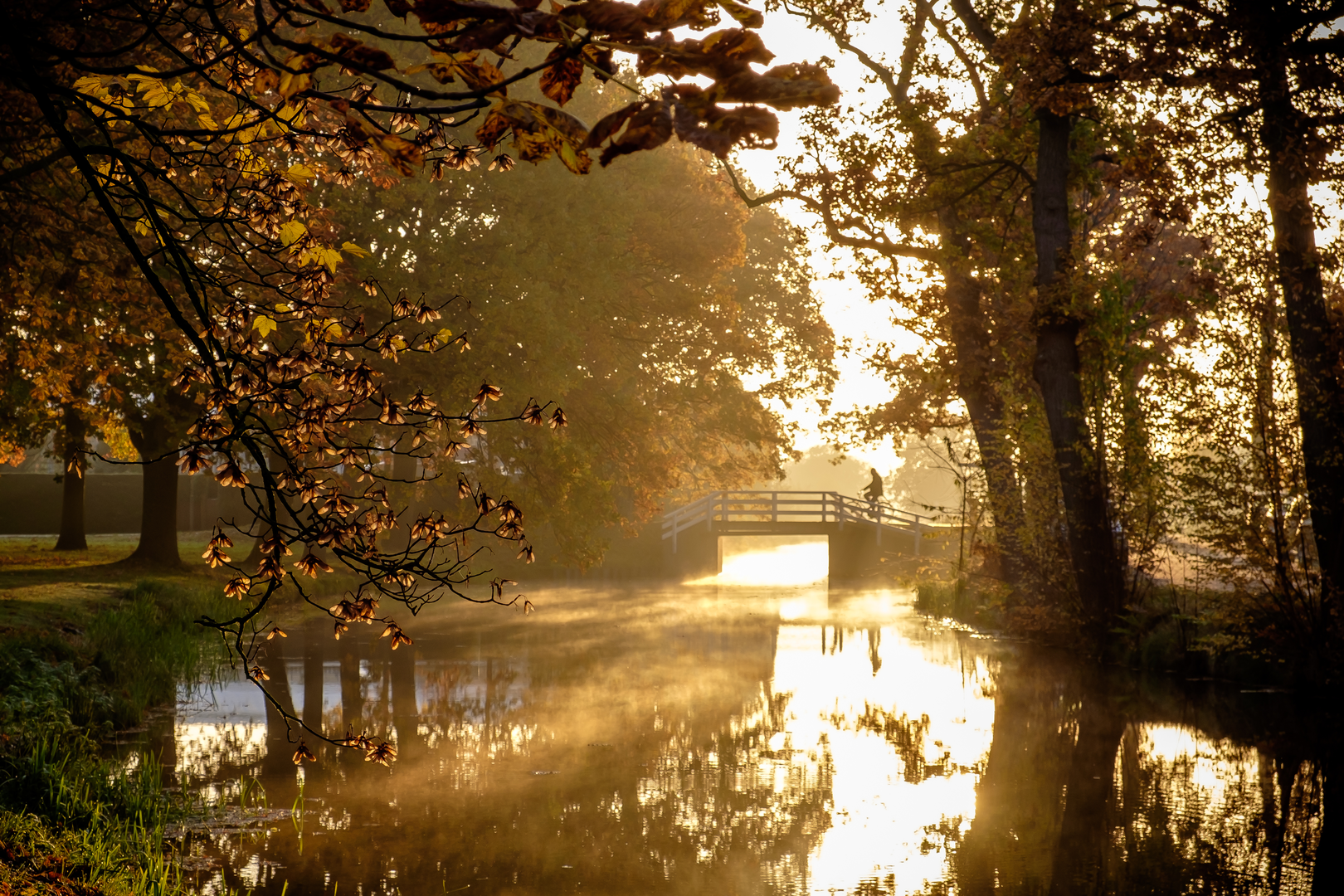
2.0–5.0 km (1.2–3.1 mi): Utrechtse Heuvelrug woodland character
This middle section is where the walk becomes more “nature-forward.” Even though the elevation gain is effectively 0 m (0 ft) overall, the terrain here often has subtle undulations typical of the Heuvelrug’s sandy ridge landscapes—you may feel gentle rises and dips without any sustained climb.
You’re likely to pass through or alongside mixed woodland (often pine and deciduous stands) with: - Birdlife: common woodland species and raptors overhead in open patches. - Mammals: roe deer are a realistic possibility at dawn/dusk; keep voices low if you want the best chance of spotting them. - Insects: in warmer months, bring repellent—forest edges and damp hollows can have mosquitoes.
This region has a long human history shaped by settlement, forestry, and later military use in parts of the Heuvelrug. Even when you’re not directly on a “historic site,” the straight road alignments and managed forest structure reflect centuries of land planning and transport between Utrecht and Amersfoort.
5.0–7.0 km (3.1–4.3 mi): Approaching Soesterberg
As you near Soesterberg, you’ll feel the environment shift back toward a village edge. Crossings and junctions become more frequent, and you’ll want to be more deliberate about:
- Road crossings: wait for clear gaps; don’t assume drivers will stop unless you’re at a marked crossing.
- Cycling infrastructure: paths may split into pedestrian vs. cycle lanes—stay on the pedestrian side where provided.
Landmarks and points of interest to watch for
- Amersfoortseweg (N237) as the spine: a historic connector route between Utrecht and Amersfoort; today it’s a practical navigation anchor and a reminder of how movement shaped the region.
- Heuvelrug forest structure: even without dramatic hills, the sandy soils and managed stands are characteristic of the Utrechtse Heuvelrug landscape.
- Soesterberg’s broader context: the area is known for its association with military aviation history (in the wider vicinity), and you may notice a more “open” feel in places where land use differs from dense forest.
Navigation and safety notes (keep it easy)
- Use HiiKER to confirm

Surfaces
Asphalt
Unknown
Comments and Reviews
User comments, reviews and discussions about the De Biltsche Hoek to Soesterberg via Amersfoortseweg, Netherlands.
average rating out of 5
0 rating(s)