Download
3D Flyover
Add to list
More
10.4 km
~2 hrs 5 min
0 m
Point-to-Point
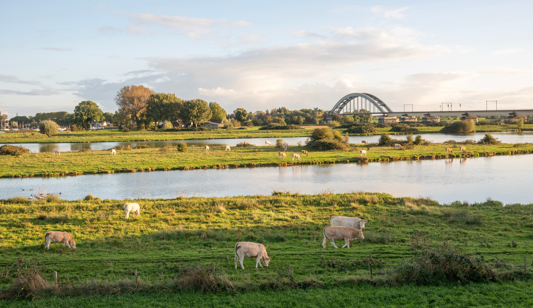
“From De Hoop’s windmill, drift through watery polders to De Meent—flat, open, and wind-kissed.”
You’ll be walking through classic Dutch river-and-polder country on a nearly dead-flat 10 km (6.2 mi) loop/point-to-point that links Culemborg’s old town edge with open fields, drainage ditches, and the recreational water at De Meent near Beusichem. Expect ~0 m / ~0 ft of climbing, but don’t underestimate how wind exposure and soft, damp path edges can affect pace and footing.
Getting to the start (De Hoop, Culemborg)
Nearest landmark/address for “De Hoop”: Windmill “De Hoop” (’t Jach), ’t Jach 3, 4101 ER Culemborg, Netherlands. (en.wikipedia.org)
This is a very practical meet-up point: it’s distinctive, easy to find, and right where town transitions toward quieter lanes.
By train + short walk/bus/taxi:
- Take the train to Culemborg Station (on the main corridor between Utrecht and ’s‑Hertogenbosch). From there, you can walk into town and onward to the mill area, or use a short local ride if you want to save time/energy.
By car:
- Navigate to ’t Jach 3, 4101 ER Culemborg. Street parking rules vary by block; if you can’t park right at the mill, use nearby signed public parking and walk a few minutes.
Route character and what the terrain feels like
From De Hoop you’ll quickly leave the tighter street grid and start threading into the polder landscape—a patchwork of fields, straight drainage lines, and long sightlines. Underfoot is typically a mix of paved lanes, compacted farm tracks, and grassy/dirt edges. After rain, the “shoulders” beside the path can turn slick; stay on the firmest line and give the ditch edges a wide berth.
Because the elevation is essentially flat, the “difficulty” comes from: - Wind: open fields can mean steady headwinds with no shelter. - Surface changes: short muddy sections, tractor ruts, and occasional uneven verges. - Shared-use traffic: cyclists and farm vehicles on narrow lanes—keep right and stay alert at bends.
Landmarks, landscape, and wildlife to watch for
De Hoop windmill (Culemborg) is your standout cultural landmark at the start. It’s a restored historic mill site with a long milling history tied to the town’s development and food production. (en.wikipedia.org)
Once you’re out in the polders, the scenery becomes all about water management: straight ditches, canals, and low embankments that exist to keep land workable and settlements dry. This is the Netherlands’ long-running story—reclaimed and managed land where drainage networks and levees are essential infrastructure. (research.tudelft.nl)
In the fields and along the waterlines, you’ll often see typical lowland birdlife—especially where meadows are managed with nature values in mind. The broader Redichem/Culemborg outer area has had explicit attention on biodiversity and landscape restoration in recent projects, which fits what you’ll notice on a walk like this: more varied field margins, hedgerows/linear elements, and habitat pockets breaking up the open farmland. (natuurinclusievelandbouwgelderland.nl)
Historical context: why “Redichem” matters here
Redichem isn’t just a name on a map—it’s part of the early medieval development story of this region. Sources on local history describe farms in Redichem as early as the 10th century, with systematic drainage and land division (parallel ditches creating long, workable strips) shaping how people could live and farm in wet ground. That same logic—organizing land around water control—still defines the walking experience today. (canonvannederland.nl)
Mid-route: De Meent (Beusichem) and the “recreation water” zone
As you approach Recreatieplas De Meent, the feel shifts from working countryside to a leisure landscape:

Surfaces
Unknown
Asphalt
Grass
Unpaved
Ground
Paved
Wood
Comments and Reviews
User comments, reviews and discussions about the De hoop to Markt via Polder Redichem and De Meent, Netherlands.
average rating out of 5
0 rating(s)