Download
3D Flyover
Add to list
More
11.0 km
~2 hrs 13 min
6 m
Loop
“Wander from whispering woodlands to windswept dunes, where history and wild beauty dance side by side.”
Starting from the edge of Castricum, a charming town easily reached by train from Amsterdam Centraal in under 30 minutes, the Noordhollands Duinreservaat hike begins just a short walk from Castricum Station. For those arriving by car, parking is available at the Duiningang Noorderstraat, a well-marked entrance to the vast dune reserve.
Trail Overview and Navigation
This loop covers approximately 11 km (about 6.8 miles) with virtually no elevation gain, making it accessible for most walkers and families. The route follows a combination of Johanna’s Weg, Bos Weg, and Van Oldenborgh Weg—well-maintained sandy and forested paths that wind through one of the largest dune reserves in the Netherlands. Navigation is straightforward, but for added confidence and up-to-date trail conditions, HiiKER is recommended.
Nature, Wildlife, and Landscape
The Noordhollands Duinreservaat is renowned for its diverse habitats. Early in the walk, the path meanders through dense pine and oak woodlands, where the air is rich with birdsong. Look out for woodpeckers, nuthatches, and the occasional roe deer darting through the undergrowth. After about 3 km (1.9 miles), the landscape opens into rolling sand dunes interspersed with wildflower meadows, especially vibrant in late spring and early summer.
The reserve is also home to Highland cattle and Konik horses, which graze freely and help maintain the unique dune ecosystem. Keep a respectful distance and enjoy observing these animals in their natural setting. The route occasionally skirts freshwater ponds and small lakes, attracting herons, grebes, and dragonflies.
Points of Interest and Historical Significance
At roughly the halfway point, near Van Oldenborgh Weg, you’ll pass close to the remains of World War II bunkers, silent reminders of the Atlantic Wall defenses built by occupying forces. These concrete structures, now partially reclaimed by nature, offer a glimpse into the region’s wartime history.
The dunes themselves have protected the Dutch hinterland from the North Sea for centuries. The area has been managed for water collection since the 19th century, and you may notice fenced-off reservoirs and waterworks along the way, crucial for supplying drinking water to nearby cities.
Facilities and Practical Tips
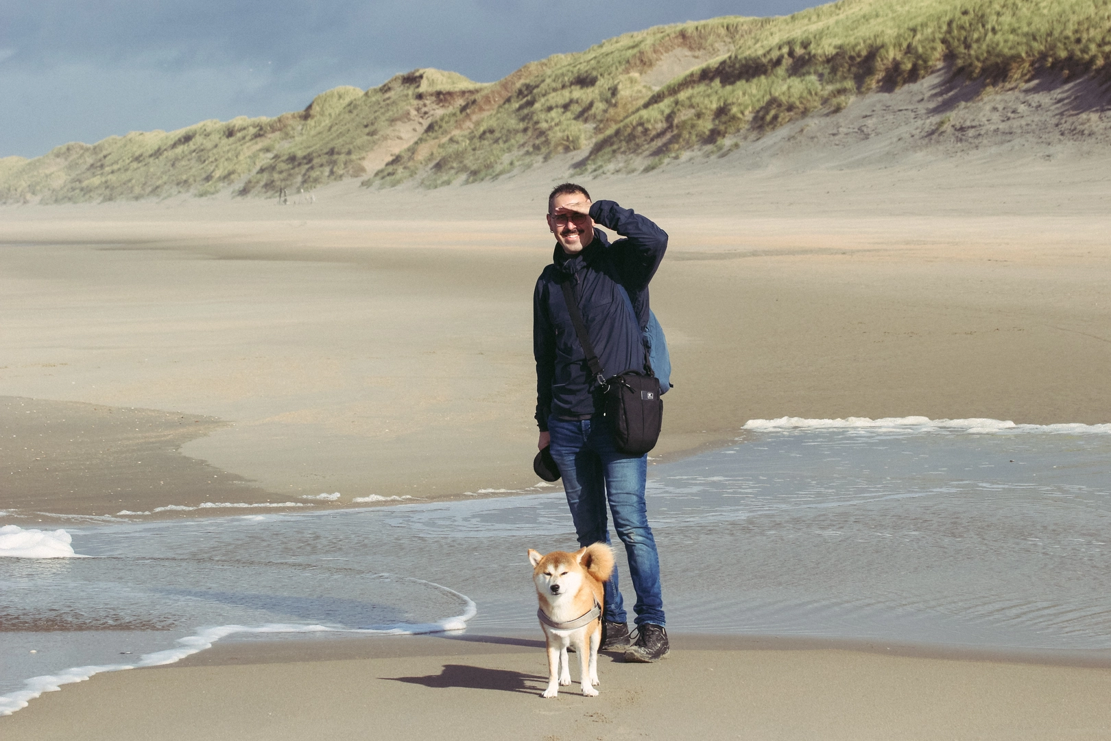
There are several benches and picnic spots along the route, particularly near the forested sections. Public toilets and a visitor center can be found near the main entrance at Noorderstraat. Dogs are welcome but must be kept on a leash in most areas to protect wildlife.
The trail is mostly flat and sandy, with occasional tree roots and loose patches, so sturdy walking shoes are recommended. The area is exposed in places, so bring sun protection and plenty of water, especially in warmer months. Cyclists also use some sections of the trail, so stay alert at junctions.
Getting There
From Amsterdam, take the train to Castricum Station. The reserve entrance at Noorderstraat is about a 10-minute walk west from the station. For drivers, set your navigation to Duiningang Noorderstraat, Castricum. Paid parking is available, and the entrance is clearly signposted.
For route planning, trail updates, and offline maps, HiiKER provides comprehensive coverage of the Noordhollands Duinreservaat and its network of trails.

Surfaces
Unknown
Unpaved
Dirt
Asphalt
Comments and Reviews
User comments, reviews and discussions about the Noordhollands Duinreservaat via Johanna's Weg, Bos Weg and Van Oldenborgh Weg, Netherlands.
average rating out of 5
0 rating(s)