Download
3D Flyover
Add to list
More
25.3 km
~5 hrs 5 min
15 m
Point-to-Point
“Wander through blooming meadows, borderland history, and tranquil villages on this gentle countryside adventure.”
Starting from the outskirts of Budel-Dorplein, a small village in the southern Netherlands, this 25 km (about 15.5 miles) route to Haler is a flat, easy-going trek with virtually no elevation gain, making it accessible for most hikers. The trailhead is conveniently located near the Budel-Dorplein train station, which is well-served by regional trains and buses from Eindhoven and Weert. For those arriving by car, parking is available near the station and at several points in Budel-Dorplein.
Navigating the Route
The route follows a mix of quiet country lanes, forest paths, and rural roads, with the Grens Weg and Isidoorstraat forming the backbone of the journey. HiiKER is the recommended navigation tool for this hike, providing up-to-date trail maps and waypoints. The trail is well-marked in most sections, but a digital map is helpful for navigating the occasional unmarked junctions, especially as you transition from village outskirts into open farmland.
Landmarks and Points of Interest
Shortly after leaving Budel-Dorplein, you’ll pass the historic zinc factory, a testament to the village’s industrial heritage. The factory, established in the late 19th century, played a significant role in the development of the region and is now a protected monument. The surrounding area is dotted with remnants of worker housing and old railway lines, offering a glimpse into the past.
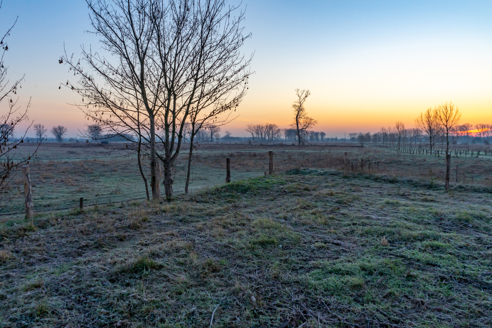
As you progress along Grens Weg, the landscape opens up to expansive fields and patches of woodland. This area is part of the Kempen-Broek cross-border nature reserve, known for its rich biodiversity. Keep an eye out for roe deer, foxes, and a variety of bird species, including buzzards and woodpeckers. In spring and summer, the meadows are alive with wildflowers and butterflies.
Crossing the Borderlands
The trail loosely follows the Dutch-Belgian border, and you’ll notice several old boundary markers along the way. These stone posts date back to the 19th century and are a reminder of the shifting borders in this region. The path occasionally dips into Belgium before returning to the Netherlands, so carrying identification is advisable, though border checks are rare.
Approaching Haler
The final stretch along Isidoorstraat leads you through tranquil farmland and small hamlets. Haler itself is a quiet village with a few local cafes and a small church, perfect for a rest at the end of your hike. Public transport from Haler is limited, so plan your return journey in advance—regional buses connect to larger towns like Weert, where you can catch trains to major cities.
Trail Conditions and Preparation
With a total elevation gain of less than 10 feet (0 meters), the route is suitable for all fitness levels. Surfaces range from paved roads to gravel and dirt tracks, so comfortable walking shoes are recommended. The area is exposed in places, so bring sun protection and plenty of water, especially in summer. The trail is accessible year-round, though some sections may be muddy after heavy rain.
This hike offers a blend of industrial history, natural beauty, and cross-border intrigue, making it a rewarding day out for those seeking a gentle but engaging walk through the Dutch-Belgian countryside.

Surfaces
Unknown
Asphalt
Gravel
Concrete
Ground
Paved
Grass
Wood
Comments and Reviews
User comments, reviews and discussions about the Budel - Dorplein to Haler via Grens Weg and Isidoorstraat, Netherlands.
average rating out of 5
0 rating(s)