Download
3D Flyover
Add to list
More
7.0 km
~1 hrs 23 min
0 m
Loop
“Wander through a tapestry of wildflowers, windmills, and wide horizons on this gentle Dutch countryside loop.”
Starting from the outskirts of Noordmeer, a small village in the province of Groningen, the Noordmeer Loop Route offers a gentle 7 km (about 4.3 miles) circuit with virtually no elevation gain, making it accessible for hikers of all abilities. The trailhead is conveniently located near the intersection of Noordmeerweg and the main village road, easily reached by car with parking available at the village center. For those using public transport, buses from Groningen city center stop at Noordmeer Dorp, just a short walk from the trail’s starting point.
Scenery and Landmarks
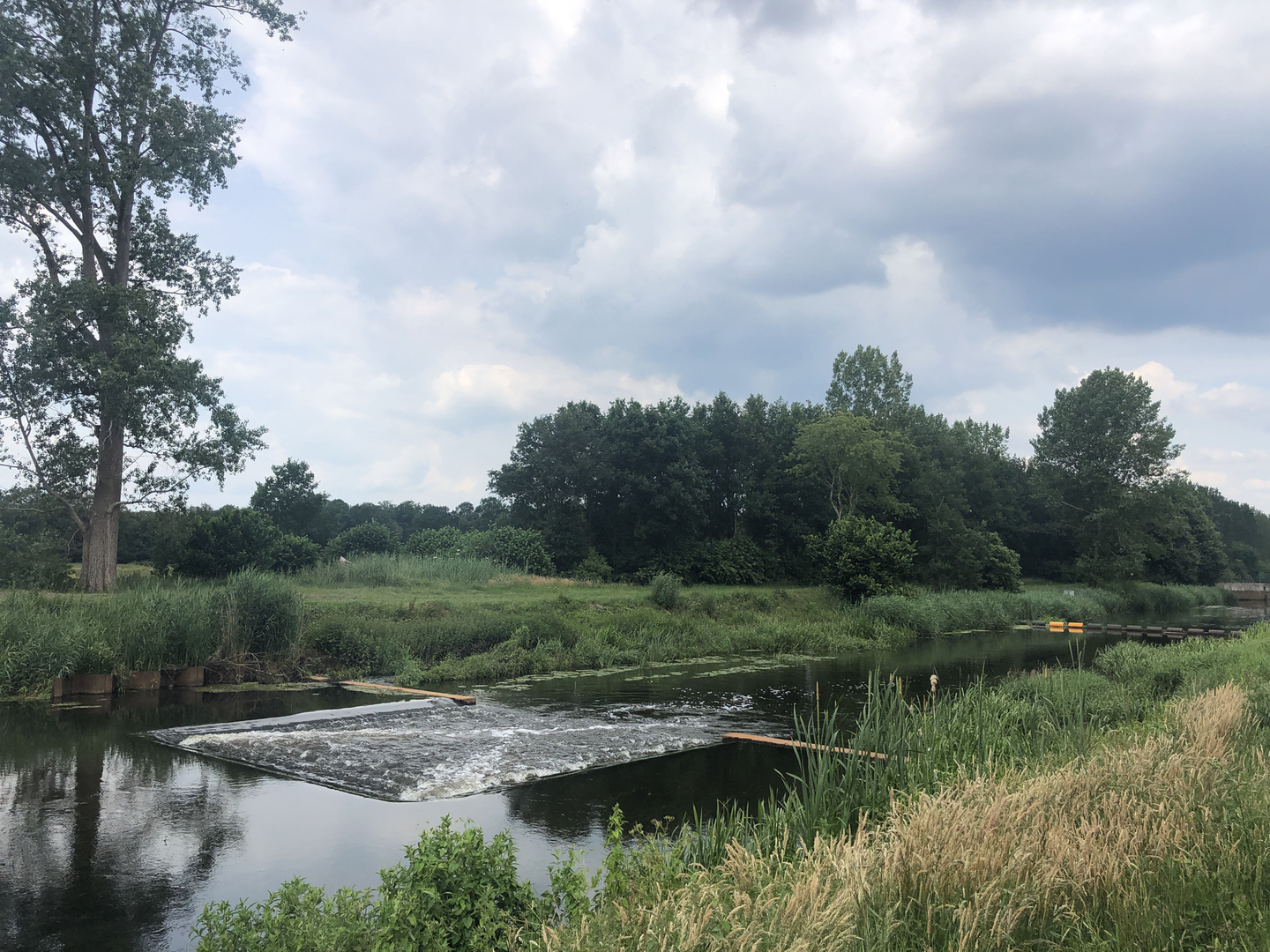
The route meanders through the quintessential Dutch polder landscape, characterized by wide open fields, drainage ditches, and the ever-present horizon. Early on, you’ll pass the Noordmeer windmill, a restored 19th-century polder mill that once played a crucial role in water management for the surrounding farmland. This is a great spot for photos and a brief rest, located approximately 1.5 km (0.9 miles) from the start.
Continuing along the loop, the trail skirts the edges of several small lakes and wetlands, which are home to a variety of waterfowl, including grebes, herons, and the occasional stork. Spring and early summer are particularly rewarding for birdwatchers, as migratory species stop over in the area. The flat, open terrain also provides sweeping views of the Groningen countryside, dotted with traditional farmhouses and grazing livestock.
Nature and Wildlife
The Noordmeer Loop Route is especially known for its biodiversity in the wetland sections. Reed beds line the ditches, and in late spring, wildflowers such as marsh marigold and purple loosestrife add color to the landscape. Keep an eye out for hares darting across the fields and, if you’re lucky, a roe deer grazing at dawn or dusk. The absence of significant elevation means the trail is suitable year-round, though waterproof footwear is recommended after heavy rain due to occasional muddy patches.
Navigation and Facilities
Navigation is straightforward, with clear waymarking at all junctions. For those who prefer digital navigation, the entire route is available on HiiKER, which provides up-to-date trail maps and points of interest. There are no shops or cafes directly on the route, so bring water and snacks. Public toilets are available at the village center before you set out.
Historical Context
The Noordmeer region has a rich agricultural history, shaped by centuries of land reclamation and water management. The polder system, visible throughout the hike, is a testament to Dutch ingenuity in transforming marshland into productive farmland. The windmill you encounter is a reminder of the area’s ongoing relationship with water, and local information boards along the route provide insight into the engineering feats that made settlement here possible.
This easy, scenic loop is ideal for a relaxed day out, offering a blend of natural beauty, wildlife, and a glimpse into the Netherlands’ unique cultural landscape.

Surfaces
Grass
Unknown
Asphalt
Comments and Reviews
User comments, reviews and discussions about the Noordmeer Loop Route, Netherlands.
average rating out of 5
0 rating(s)