Download
3D Flyover
Add to list
More
13.8 km
~2 hrs 45 min
0 m
Point-to-Point
“Wander from historic Boxmeer to tranquil Verkingsbeek, through blooming heath, ancient dunes, and timeless river views.”
Starting from the charming town of Boxmeer, this 14 km (about 8.7 miles) route to Verkingsbeek via the Vortumsche Bergen offers a gentle, flat walk with virtually no elevation gain, making it accessible for most hikers. The trailhead is conveniently located near Boxmeer railway station, which is well-connected by train from Nijmegen and Venlo, and also accessible by car with parking available at the station or nearby streets.
Getting Oriented and Setting Off
Boxmeer itself is a historic town, known for its centuries-old St. Peter’s Basilica and the imposing Boxmeer Castle, both worth a quick visit before you set out. The trail begins near the station, quickly leaving the urban area behind as you head south toward the Maas riverbanks. Navigation is straightforward, but for precise wayfinding and up-to-date trail conditions, HiiKER is the recommended tool.
Through the Vortumsche Bergen
After about 3 km (1.9 miles), the landscape transitions into the Vortumsche Bergen, a unique area of sandy ridges and heathland. This region is a remnant of ancient river dunes, shaped by the Maas over thousands of years. The terrain here is open, with scattered pine and birch trees, and in late summer, the heath blooms with purple heather. Birdlife is abundant—look for skylarks, woodpeckers, and the occasional buzzard circling overhead. The sandy soil supports a variety of wildflowers and, if you’re lucky, you might spot a sand lizard basking in the sun.
Cultural and Historical Highlights
The route passes close to the village of Vortum-Mullem, where you can detour to see the St. Cornelius Church, a neo-Gothic building dating to the late 19th century. This area was also significant during World War II, as the Maas river formed a natural barrier during the liberation of the Netherlands. Subtle reminders of this history can be found in local memorials and information panels along the way.
Final Stretch to Verkingsbeek
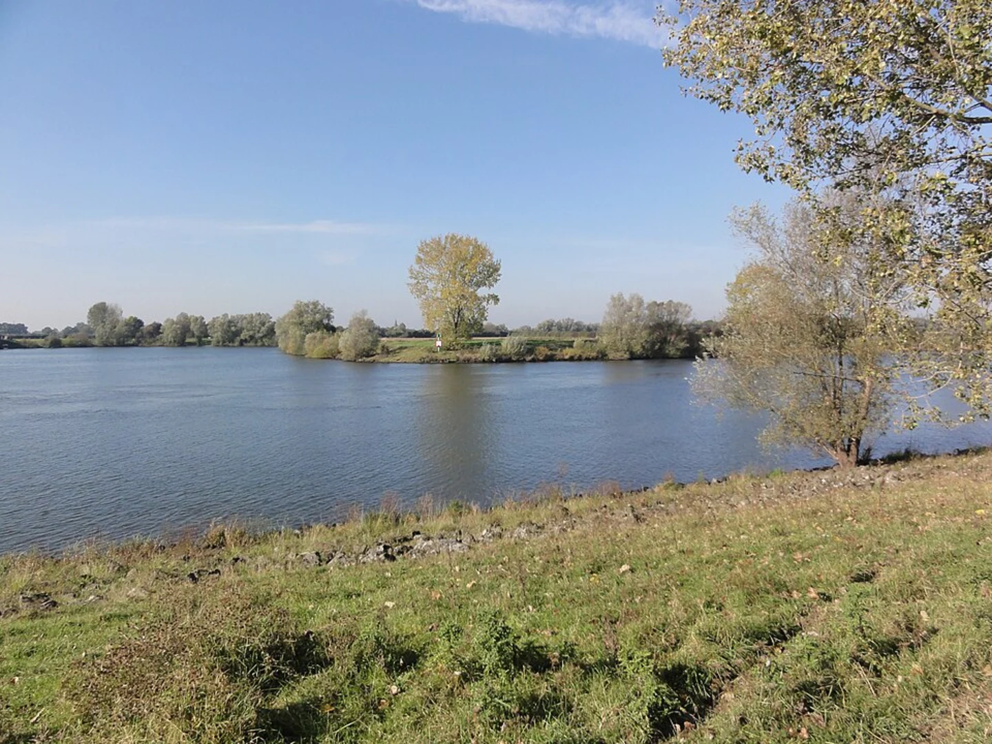
The last section of the hike follows quiet country lanes and farm tracks, with expansive views over the Maas valley. You’ll pass through a patchwork of meadows and small woodlands, often dotted with grazing cattle and horses. Verkingsbeek itself is a small hamlet, but it’s a peaceful spot to end your walk, with the river nearby and plenty of places to rest.
Practical Information
The entire route is flat, with an elevation gain of less than 5 metres (16 feet), making it suitable for families and those seeking an easy day out. Surfaces are a mix of paved paths, sandy tracks, and grassy trails—sturdy walking shoes are recommended, especially after rain. Public transport options are good at both ends: Boxmeer station is the main access point, while buses from Verkingsbeek connect back to Boxmeer or nearby towns. For real-time navigation and trail updates, HiiKER provides detailed maps and user reports.
Water and food are available in Boxmeer and Vortum-Mullem, but options are limited along the trail, so pack enough supplies for the day. The route is enjoyable year-round, though spring and late summer offer the best scenery with wildflowers and heather in bloom.

Surfaces
Unknown
Asphalt
Concrete
Unpaved
Sand
Paved
Comments and Reviews
User comments, reviews and discussions about the Boxmeer to Verkingsbeek via Vortumsche Bergen, Netherlands.
average rating out of 5
0 rating(s)