Download
3D Flyover
Add to list
More
53.1 km
~2 days
81 m
Multi-Day
“A long, wind-brushed lowland loop of village edges, farm tracks, and subtle waterways—steady, immersive miles.”
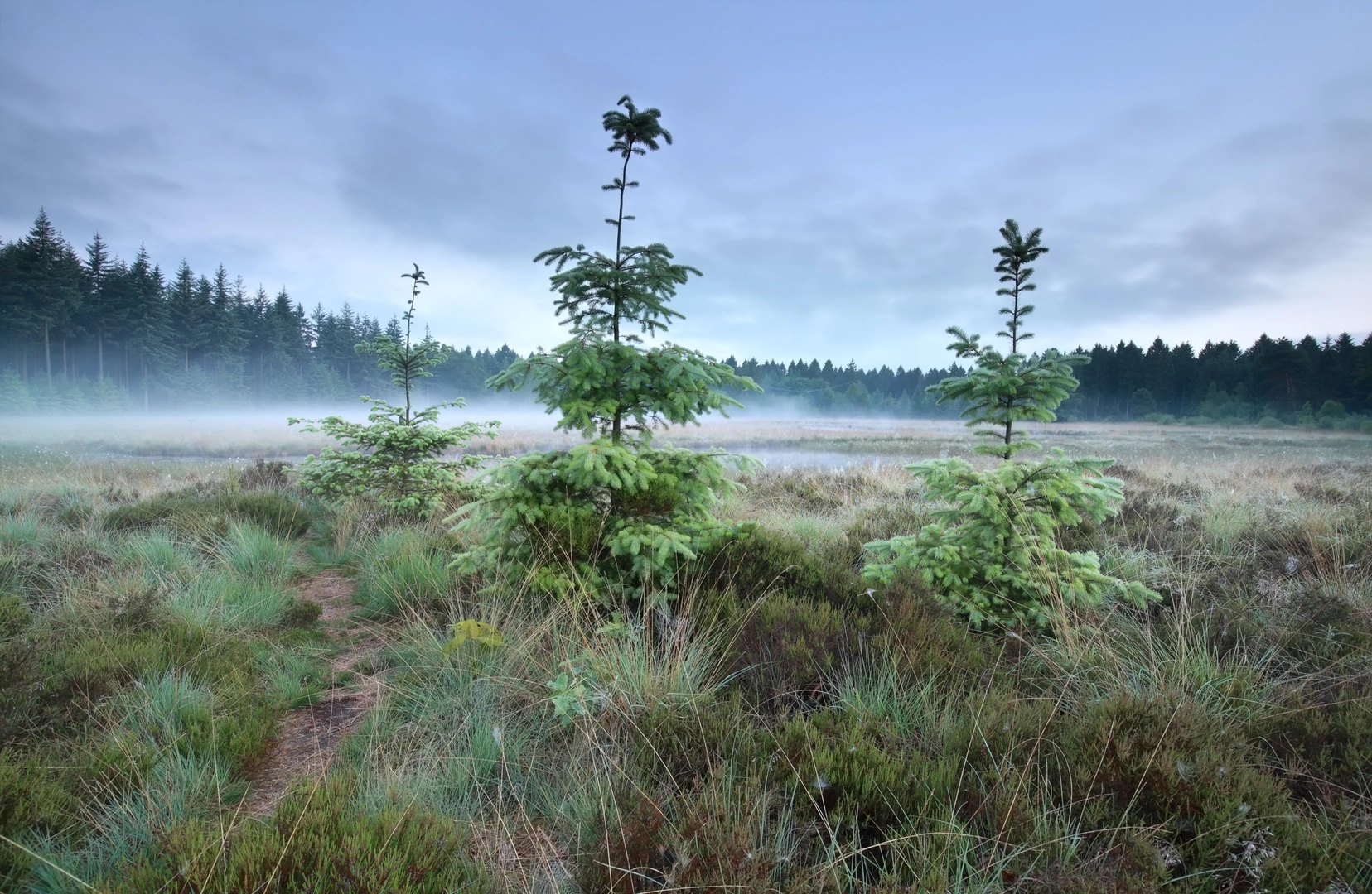
A long, low‑relief loop like this is all about steady forward progress rather than climbing: roughly 53 km (33 mi) with only about 100 m (330 ft) of total ascent spread across the day. Expect a mix of quiet village edges, farm tracks, and broad, open walking where wind and weather can matter more than elevation.
Getting to the start (car + public transport)
Because the start is listed only as “near” (no coordinates or town provided), the most reliable way to pin down the exact trailhead and the nearest recognizable address/landmark is to open the route in HiiKER and use the start point shown there. If you share the start lon/lat (or a HiiKER link), I can convert it to the nearest known address or significant landmark and tailor the directions precisely.
In the meantime, here’s how these loops are typically approached in the Oosthalen / Amelle / Jacob Trippad area:
- By car: Aim for parking near the most obvious public access point—usually a village center car park, a church square, or a signed trail/route parking area on the edge of Oosthalen. In rural lowland regions, parking is often informal but still regulated—look for posted signs and avoid blocking farm gates and field entrances.
- By public transport: Plan to arrive at the nearest rail station in the wider region, then connect by local bus toward Oosthalen (or the closest village on the loop). Rural bus frequency can be limited, especially on Sundays/holidays, so check the last return service before committing to the full 53 km (33 mi).
If you tell me your nearest city (or where you’re coming from), I can outline the most practical rail/bus chain and where to step off.
What the terrain feels like With only ~100 m (330 ft) of gain over 53 km (33 mi), the walking is generally: - Flat to gently rolling, with small rises over dikes, embankments, bridges, and field margins. - Underfoot you’ll likely see compacted gravel, paved farm lanes, and grass or dirt tracks that can turn slick after rain. - The main challenge is usually distance and exposure (sun, wind, drizzle), not steepness.
Pacing-wise, many hikers treat this as a full-day outing. Even at a brisk walk, you’ll want to plan for breaks, navigation checks, and any café/shop stops in villages.
Route flow and what to expect along the way You’ll typically move between three distinct “zones” on a loop like this:
1) Village edges and quiet lanes (early kilometers) The opening section often threads out of the settlement on low-traffic roads and footpaths. Expect: - Houses giving way to fields quickly. - Occasional stiles, gates, or cattle grids depending on local land use. - Short paved stretches that are easy on navigation but can be hard on feet over long distance—consider cushioned insoles if you’re sensitive to road walking.
2) Open countryside and agricultural landscape (middle distance) This is where most of the kilometers accumulate. You’ll likely pass: - Large arable fields and pasture, with long straight tracks. - Drainage ditches, canals, or small streams—common in lowland farming areas—crossed by narrow bridges. - Windbreak hedgerows and scattered tree lines that can be the only shade on hot days.
Because the elevation gain is minimal, landmarks tend to be subtle: a change in surface, a junction of farm tracks, a canal crossing, or a church tower in the distance. Keep an eye on your progress in HiiKER, especially where multiple parallel tracks run along field edges.
3) Return leg via hamlets and path networks (late stage) As fatigue sets in, the final third often feels longer than it looks on paper. Expect: - More frequent junctions as you re-enter a denser path network near villages. - Potentially muddier ground if the route uses grass margins or wooded strips near watercourses. - A psychological boost from seeing familiar features—church spires, village signage, or the same canal/road you started near.
Navigation (keep it simple, keep it consistent)
Use HiiKER as your primary navigation tool and download the route for offline use before you set out. On flat terrain, it’s easy to drift onto the “wrong but plausible” farm track that runs parallel for kilometers. The most common navigation traps are: - Unmarked field-edge turns (especially where crops obscure the path line). - Multiple bridges close together over the same ditch/canal. - Seasonal diversions around farm operations.
If the loop crosses private farmland, be prepared for short reroutes—follow posted access signs and use HiiKER to rejoin the track cleanly.
Landmarks, nature, and wildlife to look for Even without big climbs, lowland loops can be rich in small-scale detail:
- Water features: Ditches, canals, ponds, and wet meadows often host waterfowl. Look for ducks, geese, swans, and wading birds along shallow margins.
- Field and hedgerow birds: In open farmland you may see skylarks, finches, and raptors using fence posts as perches.
- Mammals: Hares are common in open fields; foxes may appear at dawn/dusk. Near wetter ground, you might spot signs of muskrat/nutria depending on the region.
- **

Surfaces
Asphalt
Unknown
Concrete
Unpaved
Paved
Comments and Reviews
User comments, reviews and discussions about the Oosthalen, Amelle and Jacob Trippad Loop, Netherlands.
average rating out of 5
0 rating(s)