Download
3D Flyover
Add to list
More
43.2 km
~2 days
47 m
Multi-Day
“A big-sky Drenthe loop of village charm and straight country lanes—flat, windy, and foot-testing.”
This is a long, low-relief Drenthe loop (about 43 km / 26.7 mi with roughly 100 m / 330 ft of total ascent) that strings together village streets, quiet country lanes, and long, straight stretches typical of the Hondsrug region. Expect an “easy” profile in terms of climbing, but a big day on your feet: the main challenges are distance, wind exposure, and extended paved sections rather than steep terrain.
A practical start point that matches the roads named is the village center of Exloo, near Gemeente Borger-Odoorn (Town Hall), Hoofdstraat 50, 7875 AD Exloo, Netherlands. (organisaties.overheid.nl)
Getting to the start (Exloo – Hoofdstraat area)
By car - Navigate to Hoofdstraat 50, 7875 AD Exloo (the town hall area is a clear, central landmark). Parking is typically easiest around the village center; if you’re using HiiKER to follow the loop precisely, confirm the closest legal parking spot to your chosen start pin.
By public transport
- The area is served by regional buses connecting villages like Odoorn, Exloo, and Klijndijk. One commonly referenced stop nearby in the network is Klijndijk, Hoofdweg 66 (useful if you’re stitching together a bus approach and a short walk-in). (moovitapp.com)
- For the most reliable, date-specific departures, check the current timetable in your journey planner and then load the route in HiiKER so your on-foot navigation matches the day’s detours or minor road changes.
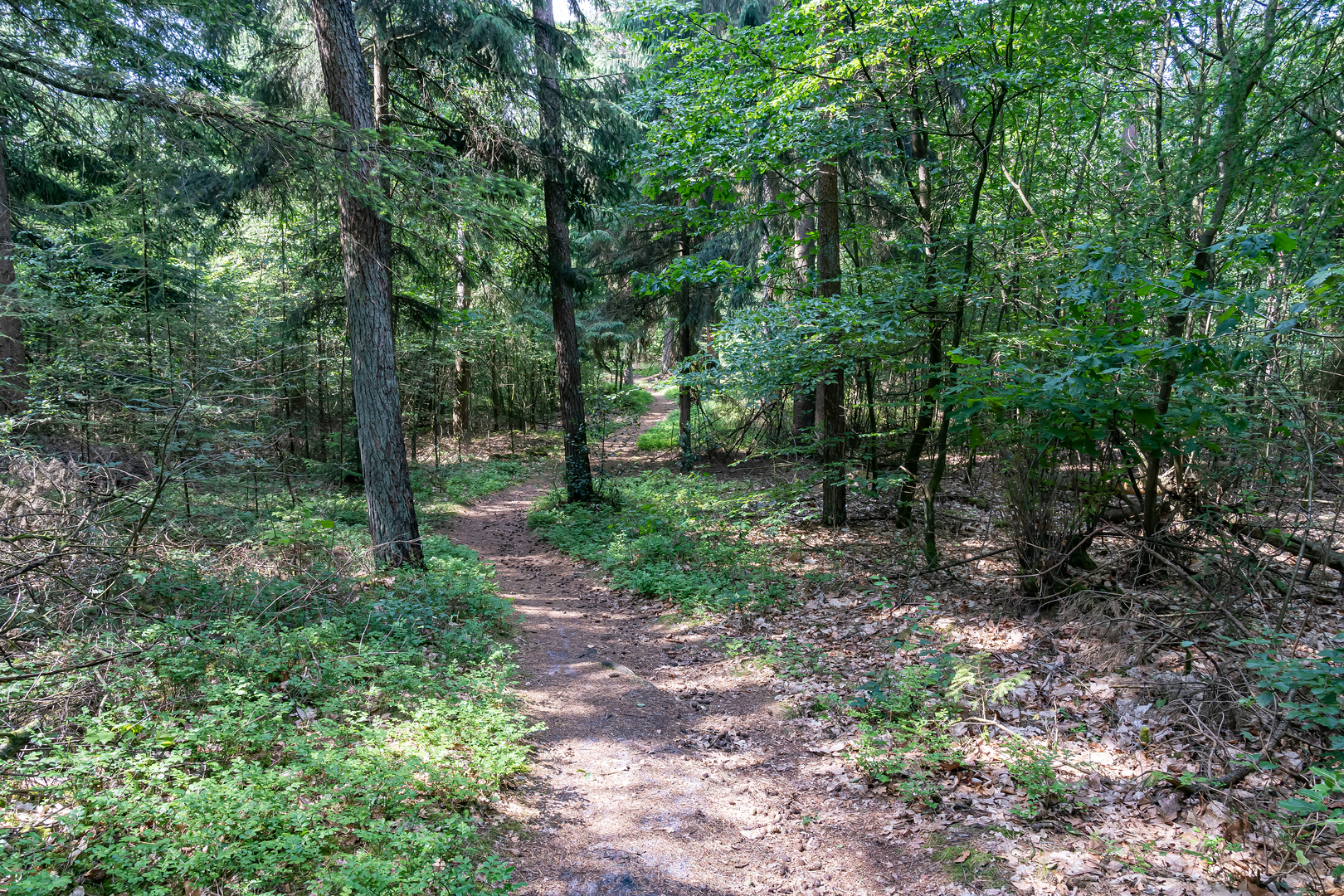
From the first steps, you’ll notice how “settled” this landscape is: tidy village edges, hedgerows, drainage ditches, and open fields. The route names—Exloërweg, Hoofdstraat, Borgerderweg, Hoofdweg—are classic “main connectors” between small Drenthe settlements, so you’ll often be walking on through-roads rather than tiny footpaths. That means: stay alert for traffic, especially where there’s no separated verge.
What the terrain feels like (and why it’s so flat)
This loop sits in and around the De Hondsrug UNESCO Global Geopark, a landscape shaped by glacial processes during the Saalian Ice Age. The “ridge” character of the Hondsrug is subtle here—more a gentle rise and fall than anything you’d call hilly—so the ~100 m / 330 ft of gain is spread thinly across the day. (unesco.org)
Because the elevation changes are modest, pacing is straightforward: - Plan for 8–10+ hours of moving time depending on breaks and surface (pavement can be fast, but it also wears feet). - Wind can be a bigger factor than hills—open farmland and long straight roads can feel surprisingly exposed.
Route rhythm and approximate breakdown
Distances below are approximate to help you plan food, water, and timing; use HiiKER for the exact line and turn-by-turn.
0–10 km (0–6.2 mi): Village edges and connector roads - Leaving the Hoofdstraat area, you’ll likely spend the first hour on a mix of village street and quieter lanes. Expect hard surfaces early: good for warming up, but start foot-care early (sock choice, lacing, hot-spot checks).
10–22 km (6.2–13.7 mi): Long rural stretches (easy navigation, steady exposure) - This is where Drenthe’s “big sky” feeling shows up—fields, drainage channels, and straight roads that can make distances feel longer than they are. - If your loop swings toward

Surfaces
Asphalt
Unknown
Concrete
Cobblestone
Sand
Comments and Reviews
User comments, reviews and discussions about the Exloeerweg, Hoofdstraat, Borgerderweg and Hoofdweg Loop, Netherlands.
average rating out of 5
0 rating(s)