Download
3D Flyover
Add to list
More
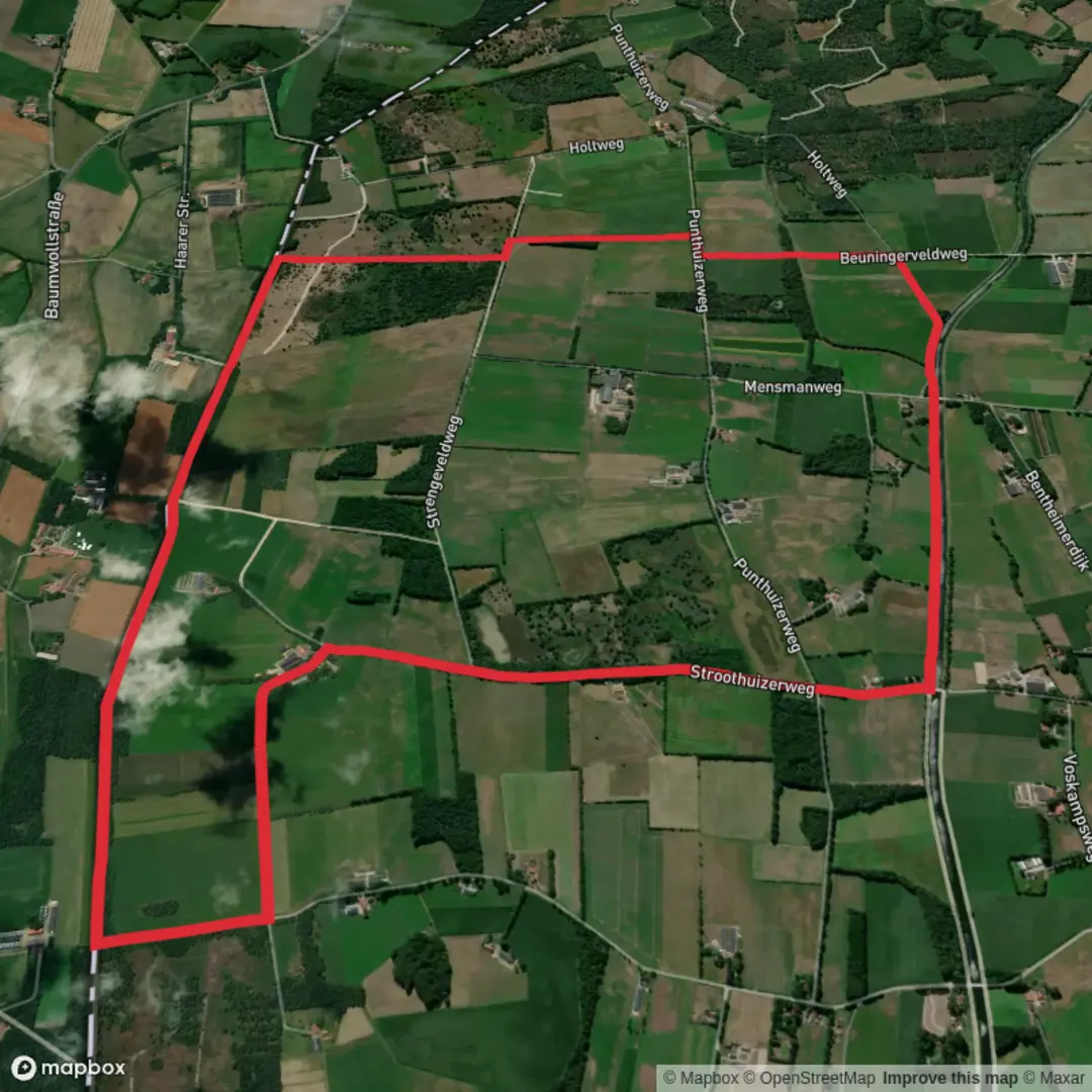
9.6 km
~1 hrs 55 min
0 m
Loop
“Wander through meadows, woodlands, and canal banks as history and nature intertwine in vibrant harmony.”
The Stroothuizer Weg and Wegtersbrug Loop is a scenic and accessible trail located near Enschede in the Overijssel province of the Netherlands. This approximately 10-kilometer (6.2-mile) loop offers a flat terrain, making it suitable for hikers of all levels.
Trail Overview
Starting from the Enschede Kennispark train station, the trail quickly immerses you into the serene landscapes of the Twekkelo area. The path meanders through a series of picturesque estates, including the notable Landgoed Het Stroot, characterized by its lush forests and open meadows. As you progress, you'll encounter the Twente Canal, a significant waterway that adds to the region's charm. The trail predominantly consists of unpaved paths, offering a natural hiking experience.
Key Landmarks and Natural Features
Landgoed Het Stroot: This estate is renowned for its well-preserved natural beauty, featuring a mix of dense woodlands and expansive fields. The area is dotted with traditional Dutch farmhouses, providing a glimpse into the region's architectural heritage.
Twente Canal: Serving as a vital link between various parts of the region, the canal is a focal point of the trail. Its banks are often lined with diverse flora and fauna, making it a delightful spot for nature enthusiasts.
Flora and Fauna
The trail traverses diverse habitats, including forests, meadows, and waterways. This variety supports a rich array of wildlife. Birdwatchers can look forward to spotting species such as the black-tailed godwit, bittern, and marsh harrier. The meadows are adorned with wildflowers during the blooming season, adding vibrant colors to the landscape.
Historical Significance
The region around Enschede and Twekkelo has a rich history, with roots in agriculture and textile industries. The estates and farmhouses along the trail reflect traditional Dutch rural life. The Twente Canal, constructed in the early 20th century, played a crucial role in the industrial development of the area, facilitating transportation and trade.
Getting There
By Public Transport: The trailhead is conveniently located near the Enschede Kennispark train station. From the station, it's a short walk to the starting point of the hike. For detailed travel information, you can consult the Dutch public transport planner at 9292.nl.
By Car: If you're driving, you can set your destination to Enschede Kennispark train station. Parking facilities are available in the vicinity, providing easy access to the trailhead.
Preparation Tips
Navigation: While the trail is well-marked, it's advisable to use a reliable navigation tool like HiiKER to ensure you stay on course.
Footwear: Given the unpaved nature of the paths, sturdy hiking shoes are recommended to provide adequate support and traction.
Weather Considerations: The Netherlands can experience variable weather conditions. It's wise to check the forecast before your hike and dress in layers to adapt to changing temperatures.
Embarking on the Stroothuizer Weg and Wegtersbrug Loop offers a delightful blend of natural beauty, historical insights, and a peaceful hiking experience in the heart of Overijssel.

Surfaces
Unknown
Asphalt
Sand
Grass
Comments and Reviews
User comments, reviews and discussions about the Stroothuizer Weg and Wegtersbrug Loop, Netherlands.
average rating out of 5
0 rating(s)