Download
3D Flyover
Add to list
More
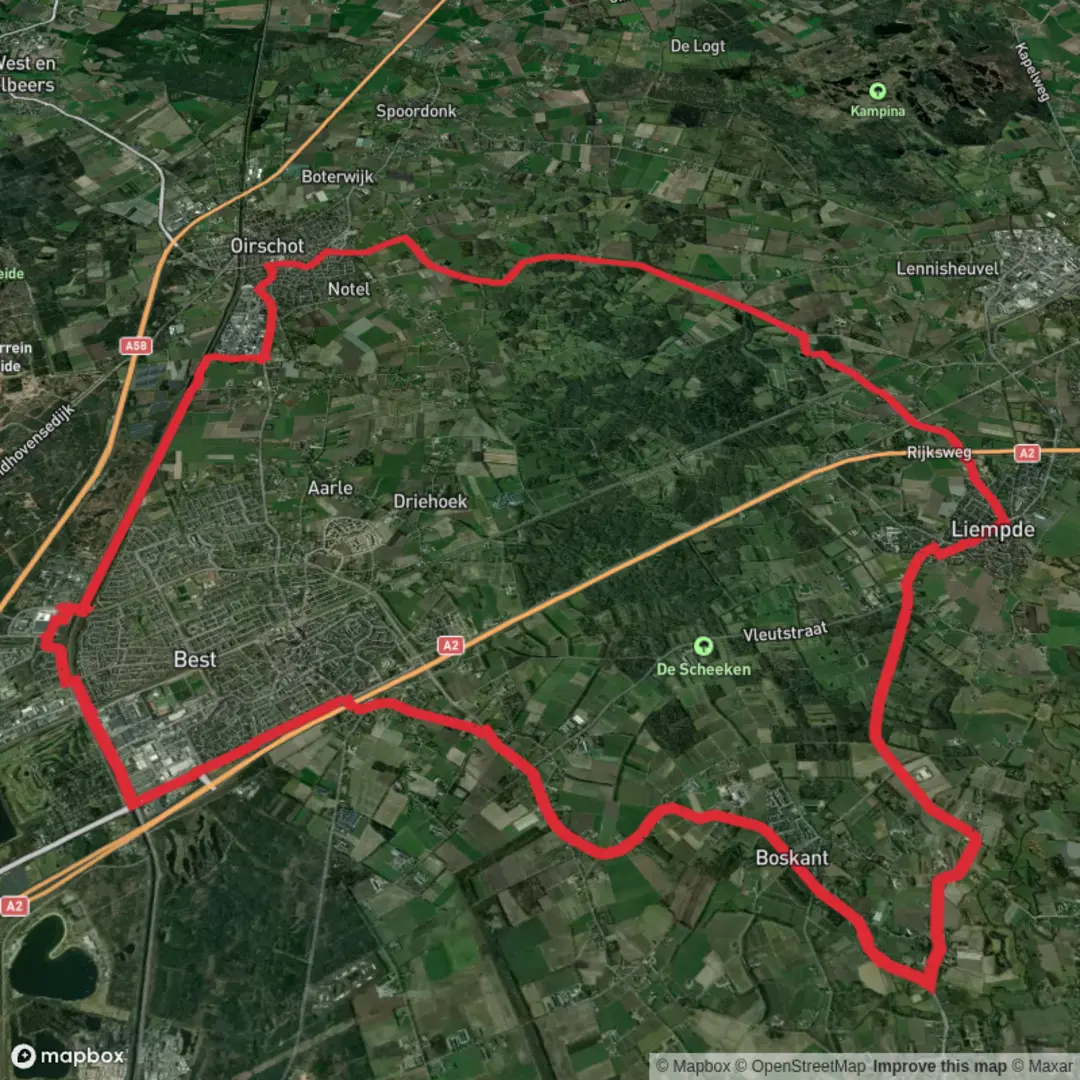
34.1 km
~6 hrs 49 min
0 m
Point-to-Point
The Bestse Weg, Oude Grint Weg and Sint Oedenrodese Weg is a 34.1 km trail that starts in Best, Best, Netherlands. Based on our data, the hike is graded as Easy. For information on how we grade trails, please read measuring the difficulty of a hiking trail on hiiker. Also, check our latest community posts for trail updates. This hike can be completed in approx 6 hrs 50 mins. Caution is advised on trail times as this depends on multiple variables. For more info read about how we calculate hike time.

Surfaces
Asphalt
Unknown
Concrete
Paved
Cobblestone
Comments and Reviews
User comments, reviews and discussions about the Bestse Weg, Oude Grint Weg and Sint Oedenrodese Weg, Netherlands.
average rating out of 5
0 rating(s)