Download
3D Flyover
Add to list
More
113.1 km
~4 days
63 m
Multi-Day
“A wind-brushed South Kennemerland loop where village lanes, estate roads, and sandy dunes test endurance.”
This is a long, low-relief coastal-and-dune loop through South Kennemerland (Noord-Holland), linking quiet village lanes and estate roads around Vogelenzang, Aerdenhout/Bentveld, and the dune edge near Bloemendaal/Zandvoort. At roughly 113 km / 70 mi with only about 100 m / 330 ft of total ascent, the challenge is almost never steepness—it’s time on feet, wind exposure, and managing long stretches of sandier footing.
Key place-names you’ll pass (nearest well-known landmarks / addresses):
- Bekslaan, Vogelenzang (Bloemendaal municipality) — a practical “anchor” area for the start/finish because it’s in the village fabric and close to services. (postcode.site)
- Vogelenzangseweg, Vogelenzang — a main local road running along the rural edge of the village and toward estates and dune landscapes. (postcode-adresboek.nl)
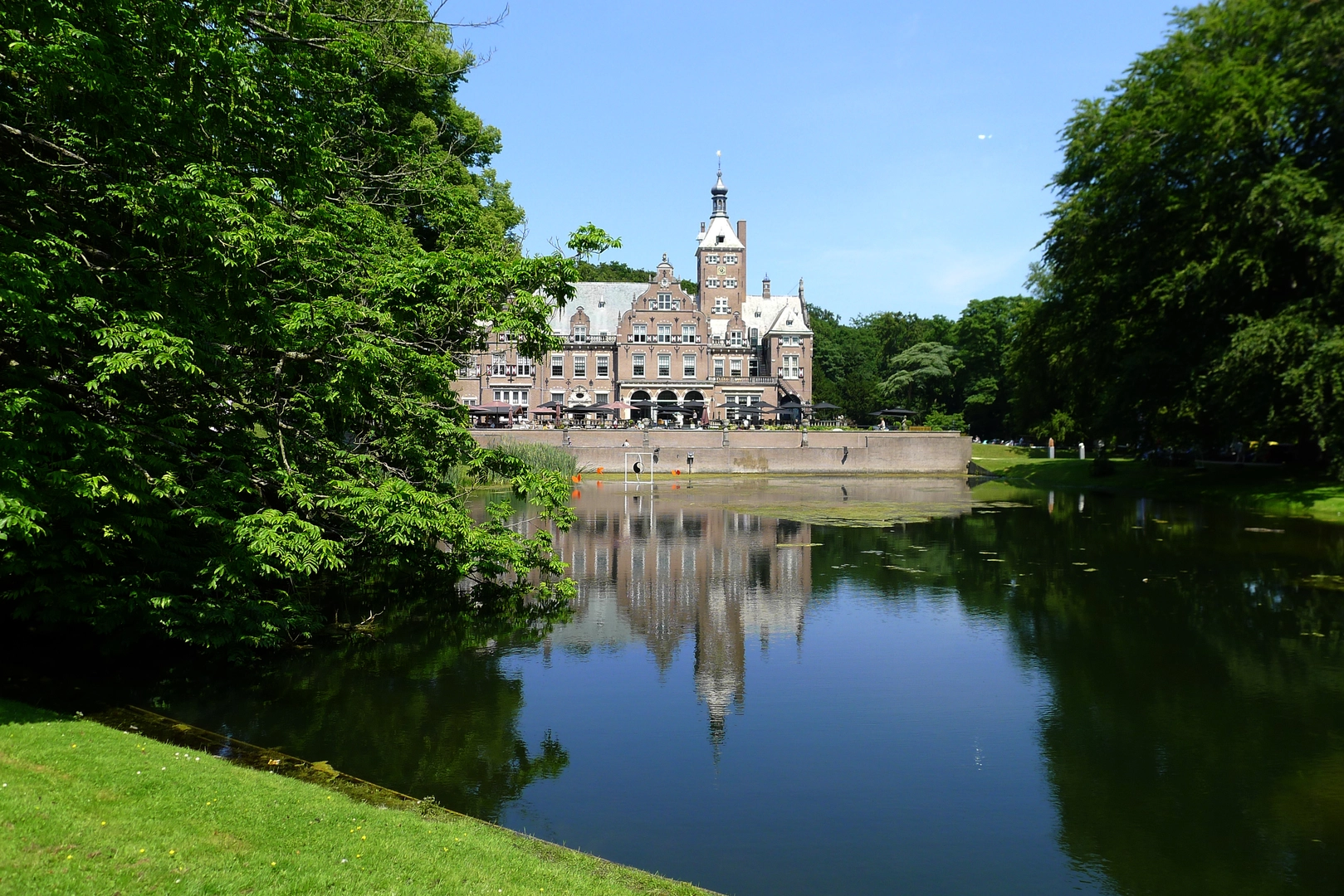
- Bentveldsweg (Aerdenhout/Bentveld area) — notable for historic/estate properties, including Landhuis Klein Bentveld (Bentveldsweg 142). (onsbloemendaal.nl)
- Van Oldenborghweg — a local road name in the same South Kennemerland context (expect it to feel like a residential/estate-edge connector rather than a “trail” in the mountain sense).
Getting to the start (public transport + car)
By public transport (from the Randstad): - Aim for the Haarlem rail hub, then connect onward by regional bus toward Vogelenzang / Aerdenhout / Bentveld depending on where you choose to pin your exact start on Bekslaan. Bus services in this corridor commonly link Zandvoort ↔ Bentveld/Aerdenhout ↔ Haarlem (use HiiKER to pin the exact stop closest to your chosen start point on Bekslaan). (gemeenteraad.bloemendaal.nl)
By car: - Navigate to Vogelenzang (Bekslaan area) and park considerately on legal street parking or designated village parking areas. This region can experience traffic management and closures during major Zandvoort events (notably around the circuit/beach access), so check local notices if you’re hiking on a big weekend. (acceptatie.kennemerlandveilig.nl)
What the walking feels like (surface, pacing, and “easy” reality)
Although rated “Easy,” 113 km / 70 mi is an ultra-distance day for most hikers, or a comfortable 2–3 day outing if you want time for nature stops and café resupplies.
Underfoot you’ll typically rotate through: - Village pavement and brick lanes (fast, but repetitive impact) - Estate roads and compacted paths (often the most pleasant) - Dune-edge tracks where sand can slow you down and increase calf fatigue, especially if windy/dry
Plan your pace around moving time, not elevation. A realistic all-day pace for many hikers on mixed surfaces is 4–5 km/h (2.5–3.1 mph) including brief stops; sand and headwinds can drop that.
Route character and notable places along the loop
0–15 km / 0–9 mi: Village edge and polder-to-dune transition Starting near Bekslaan in Vogelenzang, you’re in a landscape that sits very low above sea level, with the “big terrain feature” being the dune belt rather than hills. Vogelenzang itself is known for its estate history—Huis te Vogelenzang traces back to around 1600

Surfaces
Unknown
Asphalt
Paved
Grass
Sand
Unpaved
Concrete
Cobblestone
Comments and Reviews
User comments, reviews and discussions about the Bekslaan, Vogelenzangseweg, Bentveldsweg and Van Oldenborghweg Loop, Netherlands.
average rating out of 5
0 rating(s)