Download
3D Flyover
Add to list
More
19.1 km
~3 hrs 52 min
30 m
Point-to-Point
“Big skies, straight polder lanes, and woodland “islands” make a reflective, wind-shaped wander.”
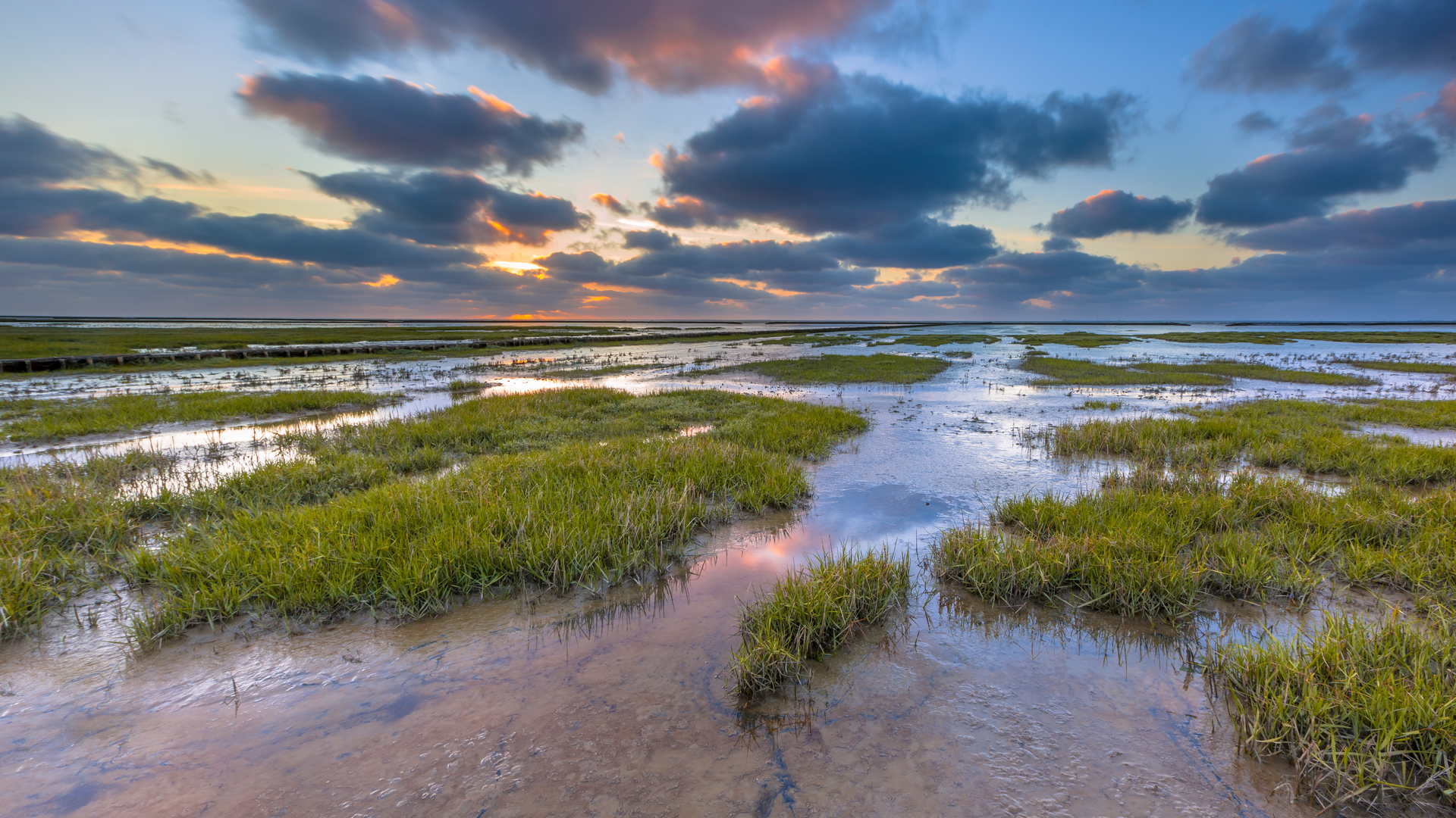
This is a classic, low-lying Groningen countryside walk: wide skies, big fields, straight farm lanes, and a string of small villages and wooded patches that feel like “islands” in the open polder. At around 19 km (11.8 mi) with roughly 0 m (0 ft) of climbing, it’s physically easy, but it can feel longer if you’re walking into a headwind or if the paths are wet and exposed.
Getting to the start (Baflo)
Start area: the most practical, well-known start point in Baflo is around Baflo railway station (Station Baflo) and the village center nearby (shops/cafés are typically clustered around the main streets close to the station).
- By public transport: Take the train to Baflo Station (regional services in the Groningen area commonly connect through Groningen city). From the platform you’re immediately in the village—ideal for a clean start and an easy finish plan if you’re coordinating pickups.
- By car: Drive to Baflo and park near the station area or village center where legal street parking is available. If you’re doing a point-to-point (finishing in Doodstil), consider leaving a second car near the finish or planning a return by local roads/public transport.
Finish area (Doodstil): Doodstil is a tiny hamlet rather than a full-service village. Plan as if there are no guaranteed services at the end—carry what you need and have a return plan.
What the route feels like underfoot
Expect mostly flat, firm surfaces: village sidewalks, brick or paved farm roads, and compacted tracks through small wooded areas. After rain, some sections near ditches, field edges, and woodland paths can be slick or muddy, but you’re unlikely to face steep or technical terrain.
Because the landscape is open, the “difficulty” is less about hills and more about: - Wind exposure (it can be relentless across open fields) - Limited shade (sun and glare off water/flat land) - Long straight stretches (mentally monotonous for some hikers)
Use HiiKER to keep an eye on turns—on polder roads, intersections can look similar, and it’s easy to drift onto the wrong parallel lane.
Baflo to Breedenburg (approx. 5–7 km / 3.1–4.3 mi)
Leaving Baflo, you’ll quickly transition from village streets to the open agricultural landscape typical of northern Netherlands: broad fields, drainage ditches, and long sightlines. The ground is essentially level—any “ups and downs” are more like gentle rises over bridges or road crowns than true elevation change.
What to look for - Ditches and canals: These are everywhere and can be close to the walking line. In wet or icy conditions, give the edges space. - Birdlife: Even without naming specific species, expect plenty of activity—raptors scanning fields, flocks moving between pasture and water, and constant calls from the margins of farmland. - Farm traffic: Tractors and delivery vehicles can move quickly on narrow lanes. Walk single-file and be ready to step onto the verge.
Breedenburg itself is small and rural—more a waypoint than a destination—so treat it as a navigation check-in rather than a resupply stop.
Breedenburg through Warffumerbos (approx. 4–6 km / 2.5–3.7 mi)
This middle portion is where the route typically becomes more varied. Warffumerbos (literally “Warffum forest”) is a welcome change from open polder: more shelter, softer light, and a different soundscape.
Warffumerbos: terrain, nature, and pacing
- Underfoot: likely a mix of compacted paths and leaf-littered tracks. After rain, shaded sections can hold moisture longer than open roads.
- Shelter: the trees reduce wind, which can make this section feel easier even if the distance is the same.
- Wildlife cues: you’ll often notice more small-bird movement and rustling in the understory here than out on the fields.
If you’re timing breaks, this is a good place for one: it’s calmer, and you’re less exposed than on the open lanes.
Warffumerbos to Westervalge and on toward Doodstil (approx. 6–9 km / 3.7–5.6 mi)
Leaving the wooded area, you’ll re-enter the wide, open farmland. Westervalge is another small settlement/area marker along the way, and the walking returns to the rhythm of straight roads, watercourses, and big skies.
Navigation and safety notes - Straight-line fatigue: Long, flat segments can encourage autopilot. Check HiiKER at junctions and whenever you pass a bridge or a cluster of farm buildings—those are common “decision points.” - Weather exposure: With little shelter, conditions can change the feel of the hike dramatically. A light drizzle plus wind can chill you quickly even on an “easy” route. - Road walking: If you’re on quiet roads, still assume occasional fast-moving vehicles. Wear something visible in dull weather.
As you approach Doodstil, the landscape often feels even quieter and more sparsely built. The hamlet is known for its rural character—think waterways, bridges, and a sense of being “out in the fields” rather than arriving at a busy endpoint.
Historical context to notice as you walk
This part of Groningen is shaped by centuries of land and water management—dr

Surfaces
Asphalt
Concrete
Unknown
Grass
Paved
Comments and Reviews
User comments, reviews and discussions about the Baflo to Doodstil via Breedenburg, Warffumerbos and Westervalge, Netherlands.
average rating out of 5
0 rating(s)