Download
3D Flyover
Add to list
More
25.3 km
~5 hrs 4 min
0 m
Point-to-Point
“Under vast borderland skies, follow straight dikes into young wet woods, ending at storybook Bourtange.”
You’re looking at a long, flat borderland walk through Groningen’s Oldambt/Westerwolde region: big skies, ruler-straight dikes and farm roads, drainage canals, and then a welcome change of texture as you pass through young woodland and wetter nature pockets before finishing at one of the Netherlands’ most distinctive fortified villages.
Distance & elevation - Around 25 km / 15.5 mi - ~0 m / ~0 ft elevation gain (expect only tiny rises on dikes/bridges)
Start & finish landmarks (nearest known places)
- Start: Oudezijl (postcode area 9691), near Bad Nieuweschans (Nieuweschans), Groningen—a small hamlet area on the edge of the Dollard/Oldambt landscape. (Oudezijl is commonly referenced as part of the municipality of Oldambt.) (fr.wikipedia.org)
- Finish: Vesting Bourtange / Fort Bourtange, near the visitor car park and information centre at Willem Lodewijkstraat 33, 9545 PA Bourtange. (bourtange.co.uk)
Getting to the start (and back)
By car - Aim for Oudezijl (near Bad Nieuweschans/Nieuweschans) and park considerately on public roadside spaces (this is a quiet rural area—avoid blocking farm access). Because this is a point-to-point hike, it’s easiest with two cars or by arranging a pickup at Bourtange.
By public transport
- The most practical rail access in the area is via Bad Nieuweschans station (for the start area) and then local buses/taxis depending on the day and timetable.
- For the finish at Bourtange, the fortress visitor info notes you can travel by train to Emmen or Winschoten, then take bus 72 (Emmen–Winschoten) which passes Bourtange (service can be limited on weekends/school holidays). (bourtange.co.uk)
- If you want to navigate the logistics cleanly, plan the day in HiiKER and check bus-day constraints before committing to a one-way itinerary.
You’ll begin in open polder country where the land is engineered: long drainage ditches, canals, and fields laid out for agriculture. Underfoot is typically a mix of paved farm lanes, compacted gravel, and grassy verges—easy walking, but the distance makes it a steady endurance day.
Because the terrain is so flat, the main “difficulty” factors are wind exposure, weather, and surface monotony. In wet periods, grassy edges can turn slick; in dry sunny weather, there’s often very little shade until you reach the wooded sections.
What to watch for early on
- Farm traffic: tractors and delivery vehicles can move quickly on narrow lanes—stay alert on bends and give way on single-track sections.
- Ditch edges: many canals/ditches have steep, undercut banks hidden by grass.
- Wind chill: even mild temperatures can feel colder in open country.
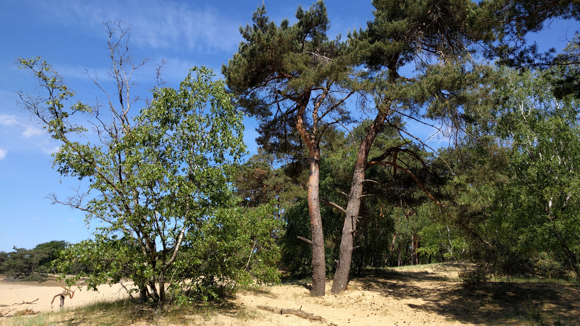
Houwingaham: young forest, wet zones, and a “lost village” story
As you approach the Bos op de Houwingaham (Forest on the Houwingaham) near Bad Nieuweschans (address area: 9693 AA Bad Nieuweschans), the route shifts from open farmland into a managed nature area created for water storage, new nature, and recreation (late 1990s). It’s a noticeable change: deciduous woodland, wet patches, and a pond connected to the Westerwoldse Aa. (visitgroningen.nl)
This section is where you’re most likely to encounter: - Waterfowl on the pond and connected waterways - Songbirds in the deciduous stands - Amphibians in wetter margins (especially in spring)
The name “Houwingaham” carries real historical weight: it refers to a medieval village that disappeared, swallowed by the shifting waters of the Dollard. During the forest’s construction, remains of old houses were reportedly found beneath clay. (visitgroningen.nl)
That’s a theme of this whole region—land reclaimed, reshaped, and defended against water for centuries.
Footing & comfort here - Expect dike-top paths and mixed surfaces; after rain, the wetter zones can mean muddy patches. - Bring insect repellent in warm months—still water and sheltered woodland can

Surfaces
Unknown
Asphalt
Concrete
Sand
Gravel
Grass
Comments and Reviews
User comments, reviews and discussions about the Oudezijl to Bourtange via Houwingaham and Bellingwolderbos, Netherlands.
average rating out of 5
0 rating(s)