Download
3D Flyover
Add to list
More
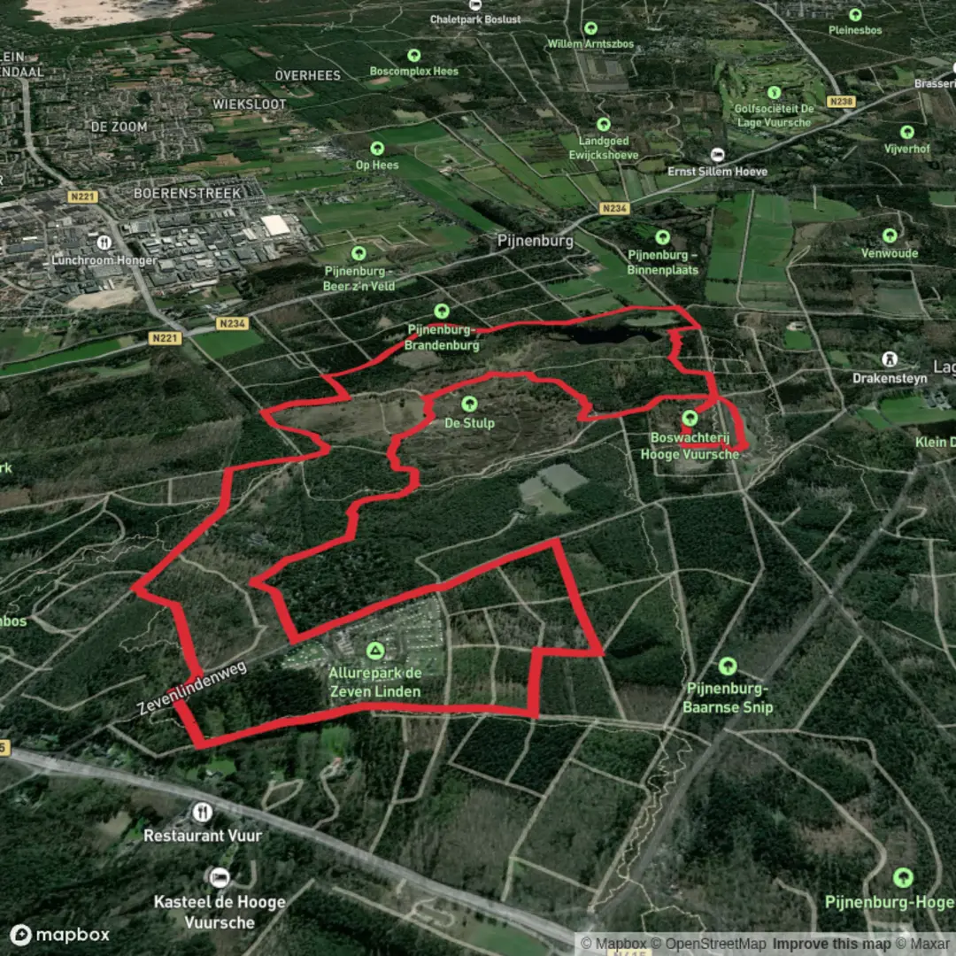
11.0 km
~2 hrs 13 min
14 m
Loop
“Wander through willow-lined waterways, bird-filled meadows, and charming villages on this gentle Dutch countryside loop.”
Starting from the outskirts of Utrecht, this 11 km (about 6.8 miles) loop combines the Utrechtpad and Trekvogelpad, two of the Netherlands’ most beloved long-distance trails. With virtually no elevation gain, this route is ideal for hikers seeking a leisurely walk through quintessential Dutch landscapes, suitable for all fitness levels.
Getting There
The trailhead is conveniently located near Utrecht Overvecht train station, making it easily accessible by public transport. Trains from Utrecht Centraal to Overvecht run frequently, and the station is just a short walk from the start of the loop. For those arriving by car, parking is available at the station or in nearby residential areas, though spaces may be limited during peak hours.
Trail Experience
Urban Greenways and Historic Waterways
The first section leads you through the leafy suburbs of Utrecht, quickly transitioning into tranquil green corridors lined with poplars and willows. The route follows sections of the Vecht River, a historic waterway once vital for trade and transport. At around 2 km (1.2 miles), you’ll pass close to Fort Blauwkapel, a 19th-century fortress that’s part of the New Dutch Waterline, a UNESCO World Heritage site. This defensive line used controlled flooding to protect the region and is a testament to Dutch ingenuity in water management.
Meadows, Woodlands, and Birdlife
Continuing north, the path skirts open meadows and small woodlands, offering excellent opportunities for birdwatching. The Trekvogelpad, or “Migratory Bird Trail,” is aptly named—look for herons, storks, and a variety of songbirds, especially in spring and autumn. At about 5 km (3.1 miles), you’ll enter the Noorderpark-Ruigenhoek, a sprawling nature reserve with reed beds, ponds, and grazing cattle. This area is a haven for wildlife and a peaceful spot for a mid-hike break.
Cultural Highlights and Village Charm
Around the 8 km (5 miles) mark, the route passes near the village of Groenekan, where you’ll find traditional Dutch farmhouses and the occasional roadside café. The landscape here is dotted with windmills and historic barns, reflecting the agricultural heritage of the region. The final stretch leads you back toward Utrecht, following quiet country lanes and shaded paths.
Navigation and Trail Conditions
The entire loop is well-marked, but carrying a digital map on HiiKER is recommended for real-time navigation and to explore nearby points of interest. The terrain is mostly flat and consists of paved paths, gravel tracks, and grassy trails, making it accessible year-round. After heavy rain, some sections through the meadows may become muddy, so waterproof footwear is advisable.
Planning Tips
Public toilets and water refill points are available at Utrecht Overvecht station and in Groenekan. Cafés and small shops can be found in the villages along the route, but it’s wise to bring snacks and water, especially outside of regular business hours. Dogs are welcome on most sections but should be kept on a leash, particularly in nature reserves.
This loop offers a gentle introduction to the Dutch countryside, blending natural beauty, rich history, and easy logistics for a rewarding day out.

Surfaces
Unknown
Sand
Dirt
Unpaved
Asphalt
Comments and Reviews
User comments, reviews and discussions about the Utrechtpad and Trekvogelpad Loop, Netherlands.
average rating out of 5
0 rating(s)