Download
3D Flyover
Add to list
More
12.8 km
~2 hrs 33 min
0 m
Loop
“Wander through vibrant meadows, tranquil woodlands, and echoes of history on this peaceful Dutch countryside loop.”
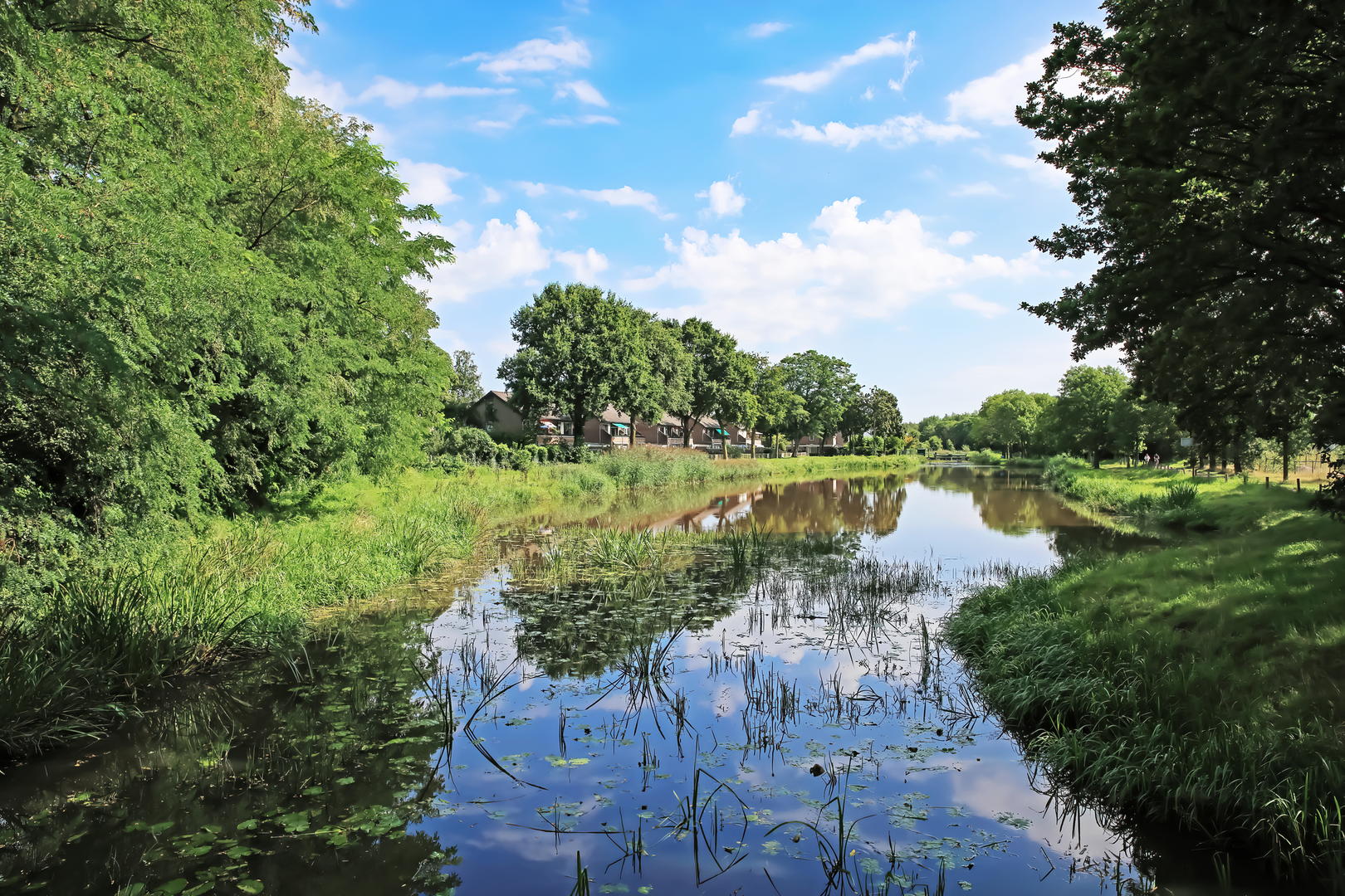
Embarking on the Achter 't Veen, De Burgvallen, and De Maarsch Loop offers a serene 13-kilometer (approximately 8-mile) journey through the picturesque landscapes of the Netherlands. With virtually no elevation gain, this easy loop trail is accessible to hikers of all levels.
Getting There
The trailhead is conveniently located near the village of Vorden in Gelderland. For those traveling by car, Vorden is accessible via the N319 road, with parking available near the Vorden railway station. If opting for public transport, Vorden station is well-connected by train services from major cities like Zutphen and Winterswijk.
Trail Overview
Starting from the vicinity of Vorden station, the loop meanders through a diverse tapestry of woodlands, open fields, and historic estates. The well-marked path ensures a relaxed and enjoyable hiking experience.
Key Landmarks and Natural Features
Achter 't Veen: This area is characterized by its lush meadows and tranquil forest edges, offering hikers a peaceful environment to immerse themselves in nature.
De Burgvallen: As you progress, you'll encounter De Burgvallen, known for its serene ponds and rich biodiversity. This section is particularly appealing to birdwatchers, with opportunities to spot various waterfowl and songbirds.
De Maarsch: The trail then leads to De Maarsch, an area that showcases the region's agricultural heritage with its expansive fields and traditional Dutch farmhouses.
Flora and Fauna
Throughout the hike, you'll traverse habitats that support a variety of wildlife. Keep an eye out for roe deer grazing at the forest's edge and listen for the calls of woodpeckers echoing through the trees. In spring and summer, the meadows burst into color with wildflowers, attracting butterflies and bees.
Historical Significance
The region around Vorden is steeped in history, often referred to as the "castle village" due to its numerous estates and castles. While the loop itself focuses on natural beauty, the proximity to landmarks like Kasteel Vorden—a moated castle dating back to the 13th century—adds a historical dimension to your hike. Although the castle is privately owned, its surrounding parklands offer picturesque views and a glimpse into the area's medieval past.
Navigation and Preparation
For detailed maps and route guidance, consider using HiiKER, which provides comprehensive information on this and other trails. Given the flat terrain and well-maintained paths, standard hiking gear is sufficient. However, it's advisable to wear sturdy footwear, especially after rainfall, as some sections may become muddy. Always check local weather conditions before setting out and carry sufficient water and snacks for the journey.
This loop offers a delightful blend of natural beauty and historical intrigue, making it a rewarding experience for those seeking a leisurely hike through the Dutch countryside.

Surfaces
Unknown
Sand
Unpaved
Ground
Gravel
Asphalt
Wood
Comments and Reviews
User comments, reviews and discussions about the Achter t Veen, De Burgvallen and De Maarsch Loop, Netherlands.
average rating out of 5
0 rating(s)