Download
3D Flyover
Add to list
More
8.4 km
~1 hrs 44 min
42 m
Loop
“Wander through whispering woods, storied monuments, and sweeping vistas in the heart of Utrechtse Heuvelrug.”
Embarking on the Galgenberg, Elsterberg, and De Blauwe Schuur hike via Veense Weg offers an enriching journey through the diverse landscapes of the Utrechtse Heuvelrug National Park in the Netherlands. This approximately 8-kilometer (5-mile) loop trail is characterized by minimal elevation gain, making it accessible for hikers of all skill levels.
Starting Point and Access
The hike commences near the village of Amerongen. For those traveling by public transport, the nearest bus stop is "Amerongse Berg," situated along the Koningin Wilhelminaweg (N225). From this stop, a short walk leads to the trailhead. If arriving by car, parking is available at the 't Berghuis restaurant, located at Veenseweg 8, 3958 ET Amerongen. This spot serves as a convenient starting point for the loop.
Trail Overview
The route begins by following the Veense Weg, an old path that traverses the ridge towards Veenendaal. This section introduces hikers to remnants of Amerongen's agricultural past, including large wooden barns that once supported the region's tobacco cultivation.
Historical Landmarks
Approximately 1.5 kilometers (0.9 miles) into the hike, you'll encounter a monument commemorating the victory at the Battle of Waterloo in 1815. Erected by Lady Athlone of the Amerongen estate, this pillar honors her son's safe return from the battlefield. Notably, the monument bears marks from its use as target practice during World War II.
Natural Highlights
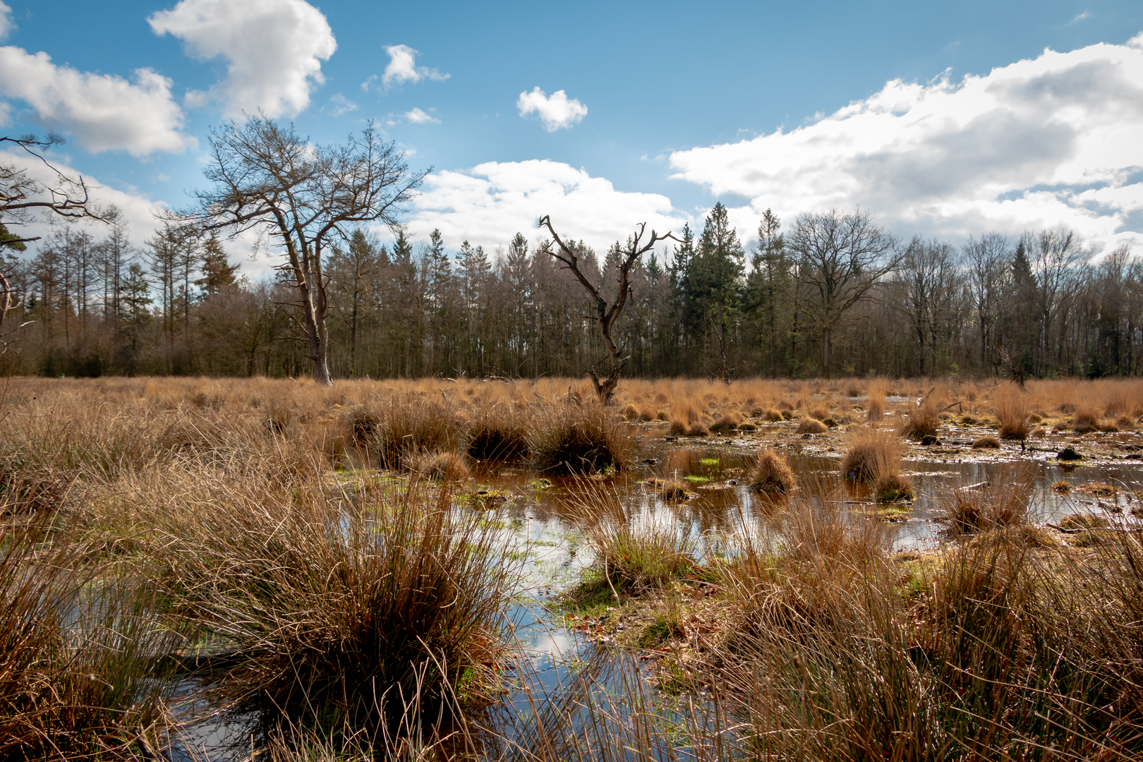
Continuing along the trail, you'll ascend the southeastern flank of the Amerongse Berg. At the summit, the path leads to a restored 18th-century star-shaped forest, centered around the "Eenzame Eik" (Lonely Oak). This area offers panoramic views over the southern Gelderse Vallei, with the distant Veluwe hills forming a picturesque backdrop.
Flora and Fauna
The trail meanders through diverse ecosystems, including dense woodlands and open heathlands. These habitats are home to a variety of bird species, making it a rewarding experience for birdwatchers. Keep an eye out for the rare goldcrest, occasionally spotted in the Walsberg forest area. (landvandepeel.nl)
Cultural Insights
As you descend towards the village of Amerongen, you'll pass by the Amerongen Castle and the Andrieskerk, both steeped in history. The castle's gardens are open to visitors, providing a glimpse into the region's aristocratic past.
Navigation and Safety
For seamless navigation, consider using the HiiKER app, which offers detailed maps and real-time updates. The trail is well-marked, but it's advisable to carry a map or digital guide. While the path is generally easy, some sections may be uneven; sturdy footwear is recommended.
Getting There
To reach the starting point, take a train to Veenendaal West station. From there, local buses connect to the "Amerongse Berg" stop. If driving, set your GPS to 't Berghuis restaurant, Veenseweg 8, 3958 ET Amerongen, where parking is available.
This hike offers a harmonious blend of natural beauty, historical landmarks, and cultural insights, making it a must-experience for those exploring the Utrechtse Heuvelrug region.

Surfaces
Sand
Unknown
Gravel
Dirt
Asphalt
Ground
Comments and Reviews
User comments, reviews and discussions about the Galgenberg, Elsterberg and De Blauwe Schuur via Veense Weg, Netherlands.
average rating out of 5
0 rating(s)