Download
3D Flyover
Add to list
More
10.8 km
~2 hrs 19 min
96 m
Loop
“Wander through ancient forests, blooming heather, and castle shadows on this scenic Amerongen loop.”
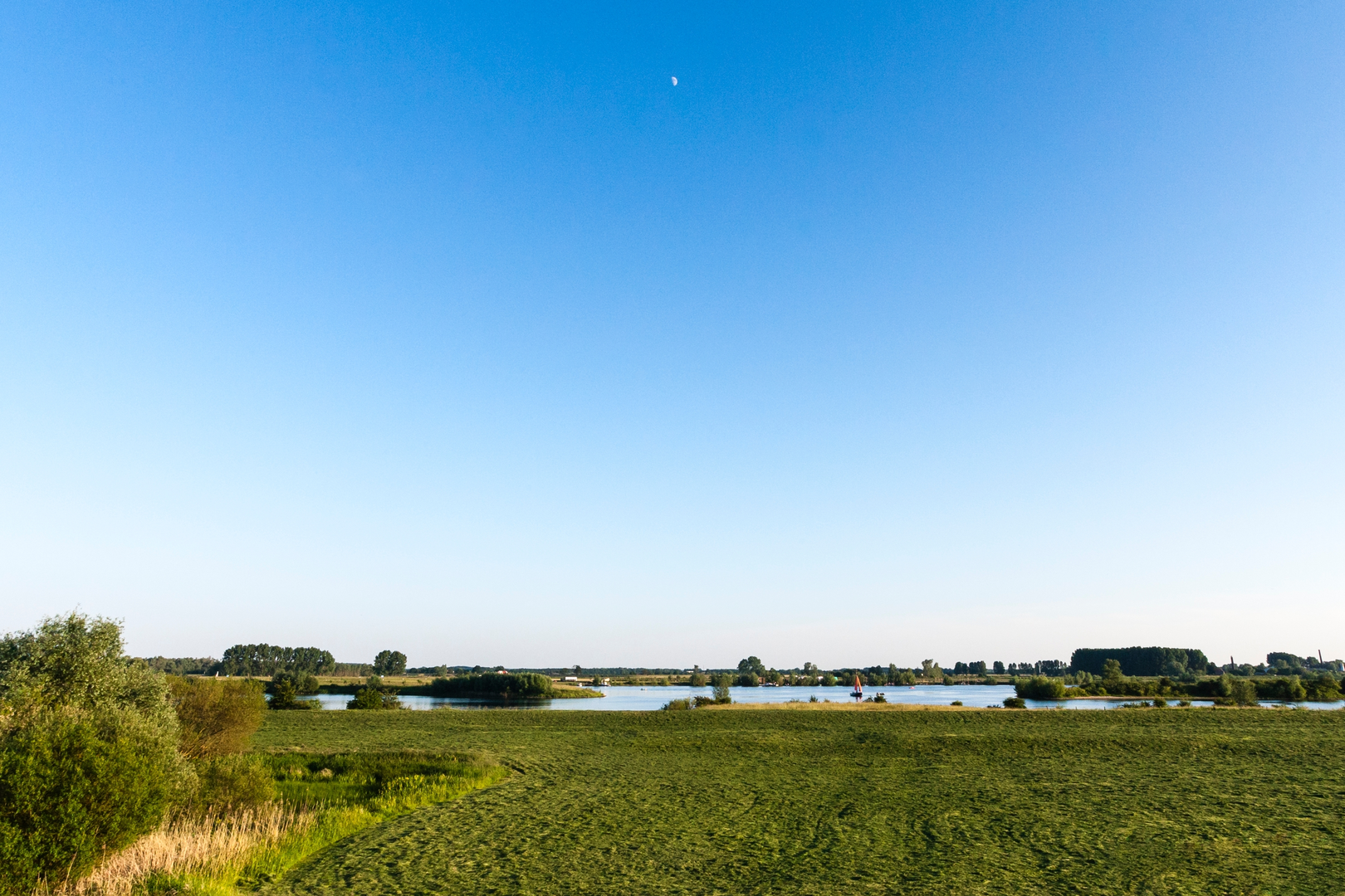
Starting from the edge of Amerongen, near the well-known Amerongen Castle, this 11 km (about 6.8 miles) loop offers a gentle introduction to the rolling landscapes of the Utrechtse Heuvelrug National Park. With an elevation gain of approximately 100 metres (328 feet), the route is accessible for most walkers, making it ideal for those seeking a relaxed day out in nature.
Getting There
Amerongen is easily reached by public transport. From Utrecht Centraal, take a train to Veenendaal-De Klomp, then transfer to bus 50 or 81 towards Amerongen. Disembark at the “Amerongen, Tabaksweg” stop, which is a short walk from the trailhead near Amerongen Castle. For those arriving by car, parking is available at the castle or in the village center.
Trail Overview and Navigation
The loop begins with a stroll through the historic village of Amerongen, where cobbled streets and centuries-old houses set the tone for the day. The route quickly transitions into the lush woodlands and heathlands of the Utrechtse Heuvelrug, a ridge formed during the last Ice Age. Hikers should use HiiKER for reliable navigation, as the trail weaves through a network of intersecting paths.
Highlights and Landmarks
Amerongen Castle and Village (Start/Finish)
The imposing Amerongen Castle, dating back to the 17th century, is a highlight at the start and end of the walk. The castle gardens and the nearby church are worth a brief detour.
Climbing the Amerongse Berg
At around 3 km (1.9 miles), the path ascends the Amerongse Berg, the highest point in the Utrechtse Heuvelrug at 69 metres (226 feet) above sea level. The climb is gradual, and the summit offers sweeping views over the Betuwe region and the Rhine river valley. This area is known for its mixed forests of beech, oak, and pine, and in spring, the forest floor is carpeted with wildflowers.
Venster op de Betuwe
Roughly halfway, at about 5.5 km (3.4 miles), you’ll reach the “Venster op de Betuwe” viewpoint. This modern lookout structure frames the landscape of the Betuwe, a fertile region famous for its orchards and rivers. On clear days, you can spot the meandering Rhine and the patchwork of fields and fruit trees below.
Nature and Wildlife
The Utrechtse Heuvelrug is a haven for wildlife. Deer, foxes, and badgers inhabit the woods, while woodpeckers and songbirds are commonly heard. The heathlands attract butterflies and bees, especially in late summer when the heather blooms in purple hues. Keep an eye out for sand lizards basking on sunny patches along the trail.
Historical Significance
This region has a rich history, from ancient burial mounds hidden in the forest to the strategic importance of Amerongen Castle during World War I, when it sheltered the exiled German Kaiser Wilhelm II. The landscape itself tells a story of glacial forces and centuries of human cultivation.
Trail Conditions and Preparation
The paths are mostly well-maintained dirt and gravel, with occasional sandy stretches. Waterproof footwear is recommended after rain. There are several benches and picnic spots along the way, particularly near the viewpoints. Water and snacks should be brought, as there are limited facilities once you leave the village. Dogs are welcome but must be kept on a leash in certain nature reserves.
For navigation, download the route on HiiKER before setting out, as mobile signal can be patchy in the forested sections. The loop returns you to Amerongen, where cafés and restaurants offer a welcome rest after your walk.

Surfaces
Unknown
Sand
Ground
Gravel
Unpaved
Asphalt
Paved
Comments and Reviews
User comments, reviews and discussions about the Amerongse Berg and Venster op de Betuwe Loop, Netherlands.
average rating out of 5
0 rating(s)