Download
3D Flyover
Add to list
More
10.3 km
~2 hrs 7 min
47 m
Loop
“Wander Amerongen’s wooded ridge, where sandy lanes, whispering beeches, and haunting Galgenberg history meet.”
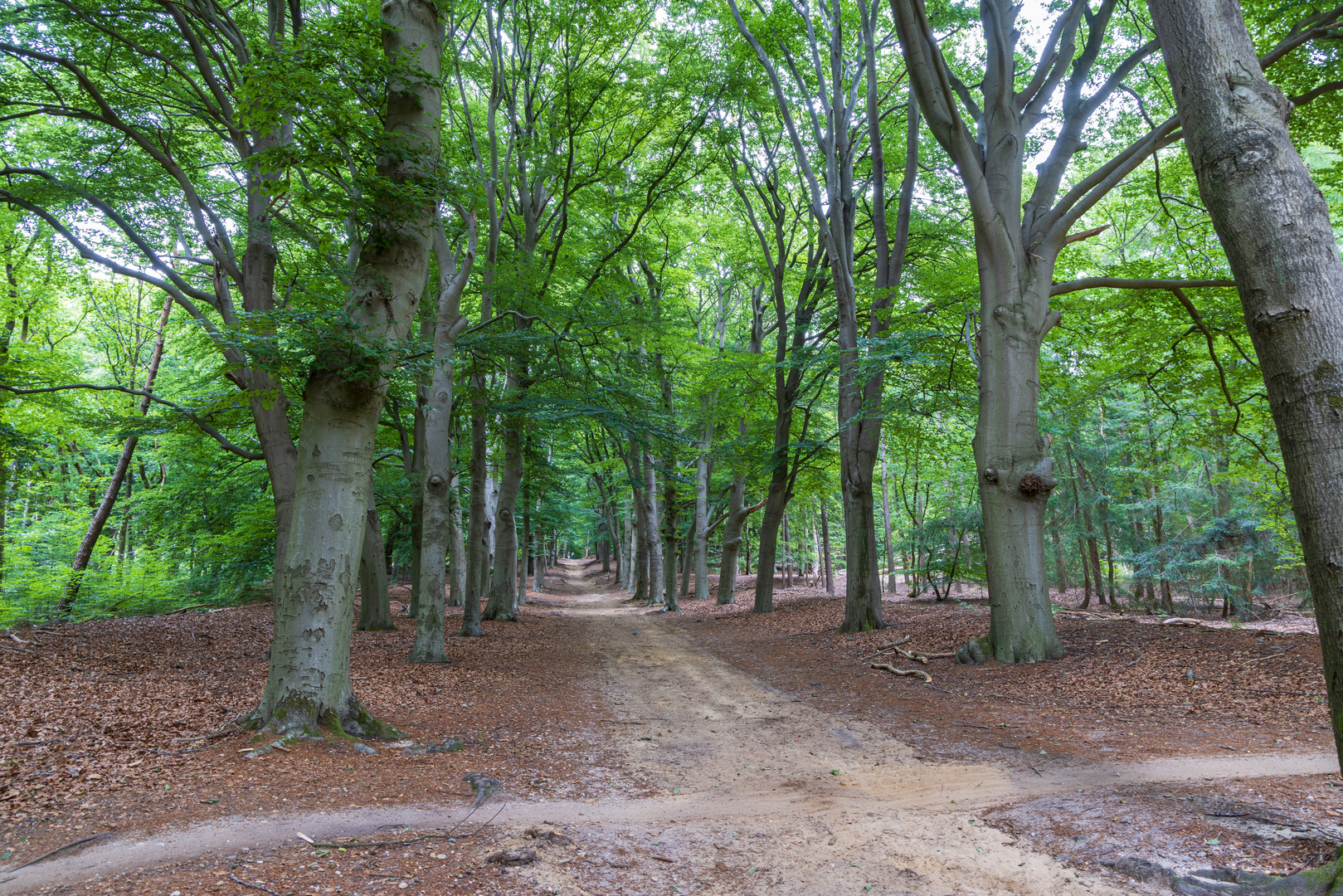
This easy loop sits on the wooded spine of the Utrechtse Heuvelrug just east of the village of Amerongen (Province of Utrecht). Expect a mostly flat-feeling walk by Dutch standards, but with gentle, short rises and dips as you cross the sandy ridge and its forest lanes. At around 10 km / 6.2 mi, it’s a comfortable half-day outing with lots of variety—dense conifer stands, broad beech avenues, small heath openings, and a couple of spots with surprisingly big views toward the Rhine lowlands.
Approx stats (for planning): ~10 km / 6.2 mi. Elevation gain is often listed as ~0 m / 0 ft for this loop, but on the ground you’ll notice rolling terrain on the ridge (the high points here are modest—Amerongse Berg is ~69 m / 226 ft above sea level). (en.wikipedia.org)
Getting to the start (car + public transport)
Best “known” start landmark: the common access point for both Amerongse Berg and the surrounding forest routes is around Amerongse Berg / Amerongsche Bos, near the signed parking areas and trail access used by walkers and cyclists. A widely referenced spot is “Amerongse Berg Parking Area” (near Amerongen, on the forest edge). (komoot.com)
- By car: Aim for the Amerongen forest access/parking near Amerongse Berg (signed for the Utrechtse Heuvelrug recreation area). Arrive early on weekends—this is a popular walking and cycling zone.
- By public transport: A very convenient option is bus line 50, which stops at “Amerongen, Amerongse Berg”—essentially right by the forest access. From there it’s a short walk to pick up the loop. (moovitapp.com)
For navigation, download the route to HiiKER before you go; the forest has many intersecting lanes that can feel similar, especially in overcast weather.
What the walk feels like underfoot
Most of the loop is on wide forest tracks and sandy paths, largely unpaved. (birdingplaces.eu) After rain, expect: - Soft sand on the higher, drier ridge sections (slower walking, a bit more effort). - Puddles and slick leaf litter in shaded beech corridors. - Occasional rooty, uneven patches where older trees line the lanes.
Because the area is heavily used, you’ll also cross or parallel mountain-bike singletrack corridors in places—stay alert at junctions and keep to the walking line shown in HiiKER.
Key landmarks and natural highlights along the loop
Early on, the route typically threads into the Amerongse Bos, a mix of deciduous and conifer woodland with a notably rich understory in places. The management here allows dead wood to remain, which boosts insects and cavity-nesting wildlife—good conditions for woodpeckers, and also for mammals that use old hollows and dense cover. (utrechtslandschap.nl)
As you arc toward the higher ground, you’ll reach the Amerongse Berg area—more “hill” than mountain, but still the highest point in Utrecht province and a classic Utrechtse Heuvelrug viewpoint zone. (en.wikipedia.org)
Galgenberg: the ridge’s darker history (and a boundary marker)
A standout section of this loop is the Galgenberg area. The name is literal: it’s associated with a former gallows site, and the hill also has prehistoric burial mounds on its southern flank—evidence that people have used this ridge for thousands of years. (opdeheuvelrug.nl)

Surfaces
Unknown
Sand
Grass
Ground
Gravel
Dirt
Asphalt
Paved
Concrete
Comments and Reviews
User comments, reviews and discussions about the Amerongse Berg and Galgenberg Loop, Netherlands.
average rating out of 5
0 rating(s)