Download
3D Flyover
Add to list
More
54.2 km
~2 days
0 m
Multi-Day
“A wind-swept dike-and-polder odyssey past glittering glasshouses and ruler-straight canals—flat, demanding, and hypnotic.”
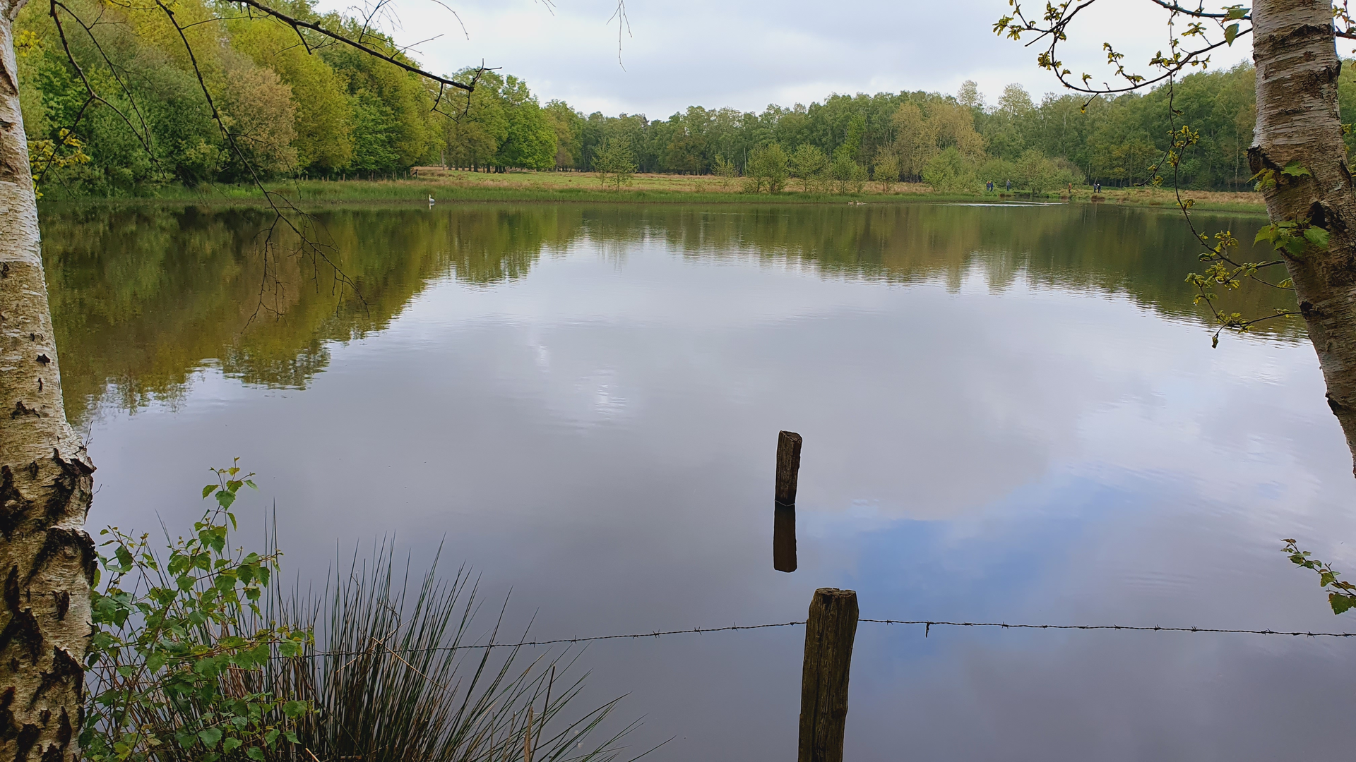
This is a long, low-lying dike-and-polder walk through the Westland area of South Holland, where the landscape is engineered as much as it’s “natural”: straight drainage ditches, raised dikes, canals, and a patchwork of glasshouse horticulture. At around 54 km / 34 mi with roughly 0 m / 0 ft of climbing, the effort comes less from elevation and more from time on feet, wind exposure, and hard surfaces (a lot of asphalt and compacted dike-top paths).
Because your details don’t include coordinates, the most reliable “real-world” anchors for planning are the named places:
- Maasdijk (village), municipality of Westland, South Holland—about 5 km / 3 mi northwest of Maassluis. (en.wikipedia.org)
- Bovendijk (street) in Wateringen (Westland, South Holland)—a practical end-point area to plan around for pickup/return transit. (postcode.site)
Getting to the start (Maasdijk, Westland)
By public transport
- Westland is primarily bus-served. A common approach is to take the train to Delft and continue by bus into Westland; visitor info for Westland notes buses from Station Delft into the area, including routes that connect toward Naaldwijk–Maasdijk–Maassluis. (bezoek-westland.nl)
- For Maasdijk specifically, there are bus stops such as Maasdijk, Coldenhovelaan and Maasdijk, Honderdland Zuid listed as nearby stops. (moovitapp.com)
By car
- Maasdijk is close to the A20 corridor; the A20 includes an exit signed for Maasdijk (exit 6), which is useful for setting your satnav and for arranging a drop-off. (en.wikipedia.org)
- Parking is typically easiest near larger roads/industrial areas on the edge of town (rather than narrow residential streets), but check local signage—Westland can have time limits near shops and schools.
What the route feels like underfoot
Expect a very flat profile with long, straight segments. The “Berm” and “(Jan …)weg” naming strongly suggests verge-side walking and local access roads rather than wild trail. That usually means: - Firm surfaces: asphalt, concrete cycle paths, and compacted gravel on dike crests. - Frequent water: canals/ditches alongside the path; edges can be steep and slippery after rain. - Constant wind: dikes are exposed; even on mild days, windchill can be noticeable.
Plan your day around pace and breaks. A typical easy all-day pace on flat hardpack/asphalt is often 4–5 km/h (2.5–3.1 mph) including short pauses; 54 km commonly becomes a 11–14 hour outing depending on stops and headwinds.
Route breakdown (approximate)
Distances are approximate to help with pacing; use HiiKER to confirm exact junctions and any diversions.
0–12 km / 0–7.5 mi: Settling into the dike-and-greenhouse landscape - Leaving Maasdijk, you’ll likely be on raised embankments and service roads with wide views across polders. - The dominant “landmark” character here is Westland’s glasshouse horticulture—large greenhouse blocks, logistics yards, and canals used for drainage and water management. - Watch for fast cyclists and e-bikes on shared paths; in the Netherlands, cycle traffic can be steady and quick, especially near towns and commuter corridors.
12–30 km / 7.5–18.5 mi: Long straightaways, canals, and open polders - This middle section is where monotony and exposure can sneak up on people. The terrain stays flat, but the repetition of straight lines can make distance feel longer than it is. - You’ll pass a lot of reed-lined ditches and open water margins. Common birds in these lowland water networks include gulls, ducks, ge

Surfaces
Asphalt
Unknown
Gravel
Concrete
Comments and Reviews
User comments, reviews and discussions about the Maasdijk to Bpovendijk via Berm and Jan Ktingenweg, Netherlands.
average rating out of 5
0 rating(s)