Download
3D Flyover
Add to list
More
47.1 km
~2 days
1053 m
Loop
“Explore Nebraska's Sandhills on a moderately challenging trail with stunning vistas and rich history.”
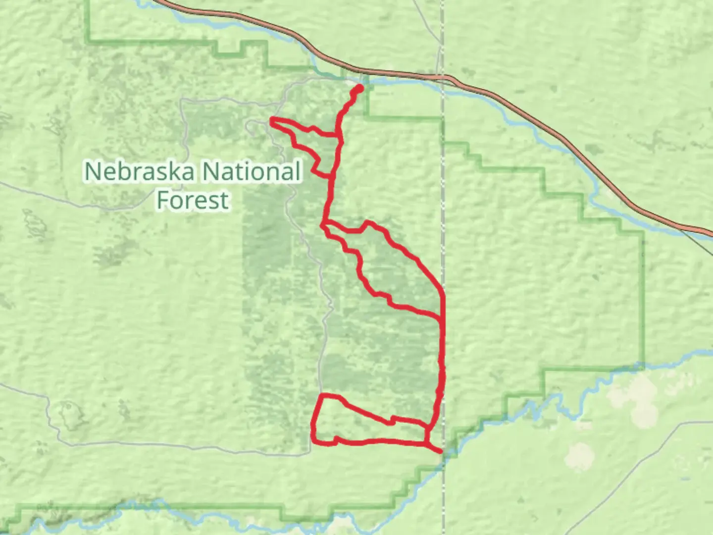
Nestled in the heart of Thomas County, Nebraska, the Powerline Trail and Poison Ivy Loop Trail offer a captivating journey through the region's diverse landscapes. This loop trail spans approximately 47 kilometers (about 29 miles) and features an elevation gain of around 1000 meters (approximately 3280 feet), making it a moderately challenging adventure for hikers.
Getting There
The trailhead is conveniently located near Thedford, Nebraska, a small town that serves as a gateway to the Sandhills region. For those traveling by car, Thedford is accessible via U.S. Highway 83. If you're relying on public transportation, the nearest major city is North Platte, which is about 100 kilometers (62 miles) to the south. From North Platte, you can rent a car or arrange for a shuttle service to reach Thedford.
Trail Highlights
Scenic Landscapes and Terrain
The trail meanders through the iconic Nebraska Sandhills, a unique ecosystem characterized by rolling sand dunes covered in mixed-grass prairie. As you traverse the trail, you'll encounter a variety of terrains, from open grasslands to wooded areas, providing a dynamic hiking experience. The elevation changes, though moderate, offer stunning panoramic views of the surrounding landscape, especially from the higher vantage points.
Flora and Fauna
The Sandhills are home to a rich diversity of plant and animal life. Keep an eye out for native grasses, wildflowers, and the occasional stand of cottonwood trees. Wildlife enthusiasts may spot pronghorn antelope, mule deer, and a variety of bird species, including the greater prairie chicken and the western meadowlark, Nebraska's state bird.
Historical Significance
The region holds historical significance as part of the Great Plains, which were once traversed by Native American tribes and later by pioneers heading west. The Sandhills themselves are a testament to the geological history of the area, formed over thousands of years by wind and water.
Trail Navigation and Safety
Given the trail's moderate difficulty, it's important to come prepared with adequate supplies, including water, snacks, and appropriate clothing for changing weather conditions. The trail is well-marked, but it's advisable to use HiiKER for navigation to ensure you stay on course and to access detailed maps and trail information.
Points of Interest
Approximately 15 kilometers (9 miles) into the hike, you'll encounter a scenic overlook that provides a breathtaking view of the Sandhills. This is an ideal spot for a rest and photo opportunity. Further along, around the 30-kilometer (18-mile) mark, the trail passes near a small pond, which is a great place to observe local wildlife and enjoy a peaceful break.
Preparing for the Hike
Due to the presence of poison ivy along parts of the trail, hikers should wear long pants and be familiar with identifying the plant to avoid contact. Additionally, the trail can be quite exposed in certain sections, so sun protection is essential. Always check the weather forecast before setting out, as conditions can change rapidly in this region.
Embarking on the Powerline Trail and Poison Ivy Loop Trail offers a rewarding exploration of Nebraska's natural beauty and historical landscapes. Whether you're drawn by the challenge of the hike or the allure of the Sandhills, this trail promises an unforgettable adventure.

What to expect?
Activity types
Comments and Reviews
User comments, reviews and discussions about the Powerline Trail and Poison Ivy Loop Trail, Nebraska.
average rating out of 5
0 rating(s)