Download
3D Flyover
Add to list
More
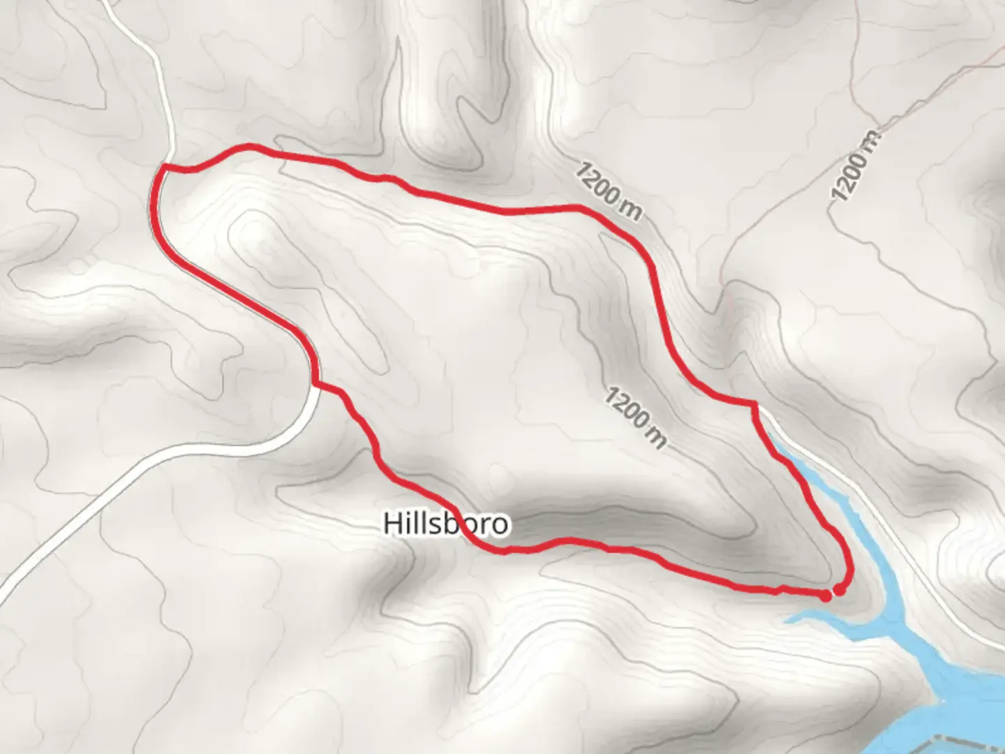
5.0 km
~1 hrs 11 min
119 m
Loop
“Experience the scenic beauty and rich history of Carbon County on the moderately challenging Barry's Landing Road and Hillsboro Loop Trail.”
Starting near Carbon County, Montana, the Barry's Landing Road and Hillsboro Loop Trail offers a moderately challenging hike with a distance of around 5 km (3.1 miles) and an elevation gain of approximately 100 meters (328 feet). This loop trail is perfect for those looking to experience the natural beauty and historical significance of the region.
Getting There
To reach the trailhead, you can drive or use public transport. If driving, head towards Barry's Landing Road, which is accessible from Highway 310. The nearest significant landmark is the town of Bridger, Montana. From Bridger, it's a short drive to the trailhead. For those using public transport, the nearest bus stop is in Bridger, and from there, you may need to arrange a taxi or rideshare to reach the trailhead.
Trail Overview
The trail begins with a gentle ascent, offering panoramic views of the surrounding landscape. As you start, you'll notice the diverse flora, including sagebrush and juniper trees. The initial 1 km (0.6 miles) of the trail gains about 50 meters (164 feet) in elevation, making it a steady but manageable climb.
Significant Landmarks
Around the 2 km (1.2 miles) mark, you'll come across a historical marker indicating the site of an old mining operation. This area was once bustling with activity during the late 19th century when prospectors flocked to Montana in search of precious minerals. Take a moment to appreciate the remnants of this bygone era, including old mining equipment and informational plaques.
Wildlife and Nature
As you continue, keep an eye out for local wildlife. The area is home to mule deer, pronghorn antelope, and a variety of bird species. If you're lucky, you might even spot a golden eagle soaring overhead. The trail meanders through open meadows and patches of forest, providing ample opportunities for birdwatching and wildlife photography.
Navigation
For navigation, it's highly recommended to use the HiiKER app, which provides detailed maps and real-time updates. The trail is well-marked, but having a reliable navigation tool can enhance your hiking experience and ensure you stay on the right path.
Final Stretch
The last 2 km (1.2 miles) of the loop trail offer a gentle descent back to the trailhead. This section is relatively easy, allowing you to enjoy the serene surroundings and reflect on the hike. The total elevation gain for the entire trail is around 100 meters (328 feet), making it a moderate hike suitable for most fitness levels.
Historical Significance
The region around Carbon County has a rich history, particularly related to mining and early settler activities. The trail itself passes through areas that were once significant during the mining boom of the late 1800s. Informational signs along the trail provide insights into the historical context, making this hike not only a physical activity but also an educational experience.
Practical Tips
- Wear sturdy hiking boots as the trail can be rocky in sections.
- Bring plenty of water, especially during the summer months.
- Check the weather forecast before heading out, as conditions can change rapidly.
- Use the HiiKER app for navigation and to stay updated on trail conditions.
This trail offers a perfect blend of natural beauty, wildlife, and historical significance, making it a must-visit for anyone in the Carbon County area.

What to expect?
Activity types
Comments and Reviews
User comments, reviews and discussions about the Barry's Landing Road and Hillsboro Loop Trail, Montana.
4.56
average rating out of 5
25 rating(s)