Download
3D Flyover
Add to list
More
8.9 km
~2 hrs 3 min
166 m
Loop
“Embark on Scroggins Ridge Loop for a historic, scenic, and moderately challenging Missouri adventure.”
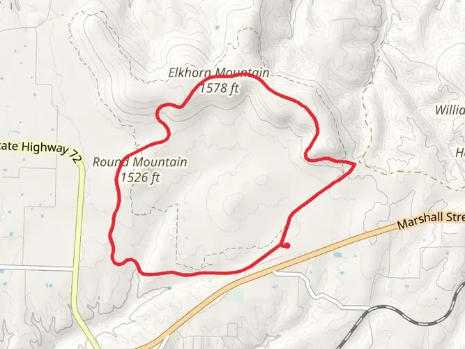
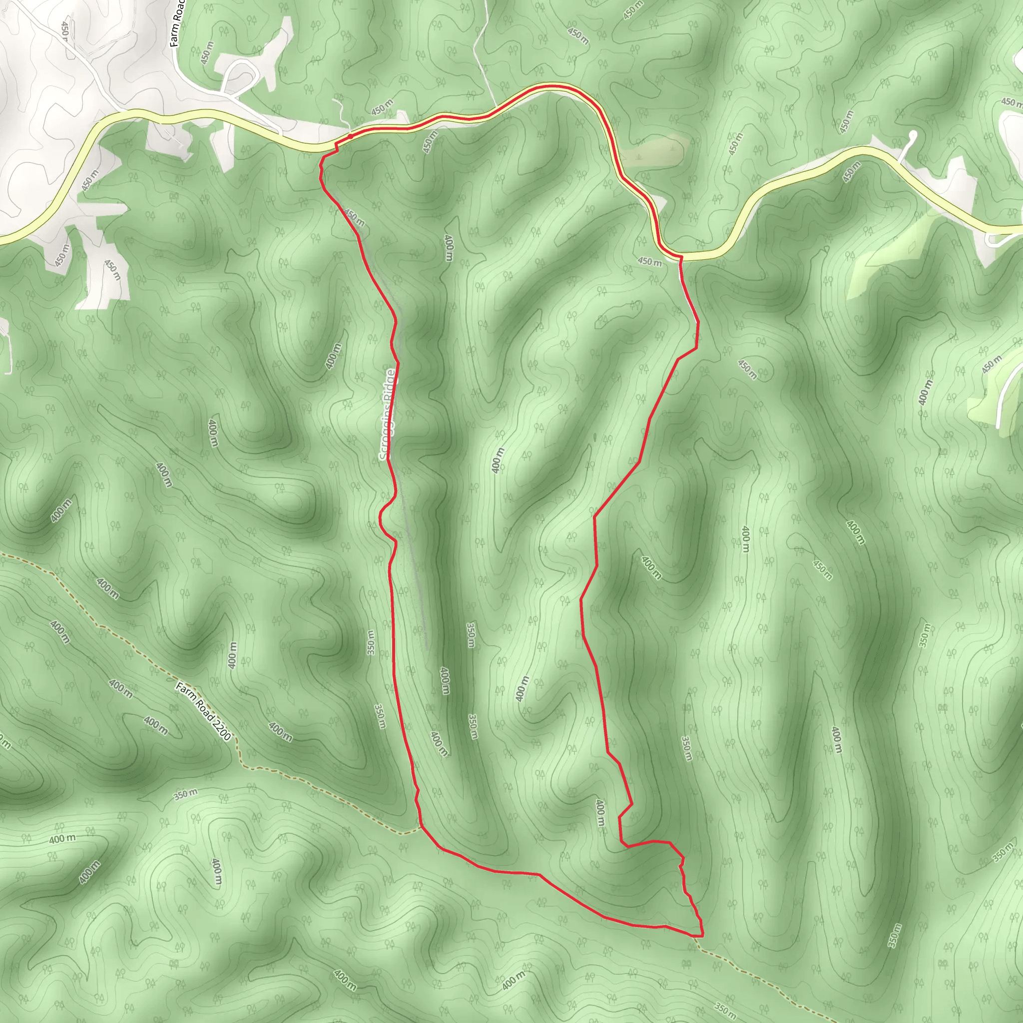
The Scroggins Ridge Loop, nestled near Barry County, Missouri, offers hikers a moderately challenging experience with its approximately 9 km (5.6 miles) distance and an elevation gain of around 100 meters (328 feet). This loop trail is a perfect blend of scenic vistas, diverse ecosystems, and a touch of history, making it a rewarding journey for those who lace up their boots and embark on its path.
Getting to the Trailhead To reach the trailhead, if you're coming by car, navigate towards State Highway 76 in Barry County. There isn't direct public transportation to the trailhead, so a personal vehicle or a taxi service would be your best bet. Parking is available near the trailhead, which serves as your starting point for the Scroggins Ridge Loop.
Navigating the Trail As you begin your hike, you'll be enveloped by a canopy of native trees, which provide a habitat for the local wildlife. Keep an eye out for white-tailed deer, wild turkeys, and various bird species that call this area home. The trail is well-marked, but having the HiiKER app can be a useful tool for navigation, ensuring you stay on the right path and can track your progress along the loop.
Natural Features and Landmarks Approximately 2 km (1.2 miles) into the hike, you'll encounter a small stream, which is particularly delightful in the spring when the water flow is at its peak. The trail meanders through a mix of terrains, including rocky outcrops and open meadows, offering a variety of landscapes to enjoy.
As you ascend towards the higher points of the trail, around the 4 km (2.5 miles) mark, you'll be treated to panoramic views of the surrounding countryside. The elevation gain is gradual, making the climb manageable for most hikers with a moderate level of fitness.
Historical Significance The region around Scroggins Ridge Loop is steeped in history. The area was once inhabited by Native American tribes, and later by European settlers. As you hike, you may come across old stone walls and foundations, remnants of homesteads from the 19th century. These historical artifacts serve as a silent testament to the lives and stories of those who shaped the land.
Flora and Fauna Throughout the hike, the trail showcases a diverse array of plant life, including wildflowers in the spring and summer, which add splashes of color to the green landscape. The fall brings a dramatic change, with the foliage transforming into a vibrant display of oranges, reds, and yellows.
Preparation and Safety Before setting out on the Scroggins Ridge Loop, ensure you're prepared with adequate water, snacks, and weather-appropriate clothing. The trail can be rocky in places, so sturdy hiking boots are recommended. Always check the weather forecast in advance, and be prepared for changes in conditions, especially if you're hiking in the shoulder seasons.
Conclusion The Scroggins Ridge Loop is a trail that offers a little bit of everything: natural beauty, wildlife, historical interest, and a satisfying physical challenge. Whether you're a seasoned hiker or someone looking to immerse yourself in the tranquility of nature, this trail promises a memorable outdoor experience.
What to expect?
Activity types
Comments and Reviews
User comments, reviews and discussions about the Scroggins Ridge Loop - State Highway 76, Missouri.
4.5
average rating out of 5
12 rating(s)