Download
3D Flyover
Add to list
More
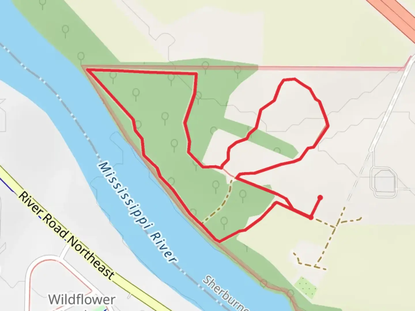
3.2 km
~40 min
20 m
Loop
“Experience picturesque Mississippi River views and diverse wildlife on this accessible 3 km loop trail in Wright County.”
Starting near Wright County, Minnesota, this 3 km (approximately 1.86 miles) loop trail offers a moderate hiking experience with no significant elevation gain, making it accessible for most hikers. The trailhead is conveniently located near the Mississippi River, providing a scenic backdrop for your adventure.
Getting There
To reach the trailhead, you can drive or use public transportation. If driving, head towards Wright County and look for parking near the Mississippi River. For those using public transport, the nearest significant landmark is the Monticello Community Center. From there, you can take a local taxi or rideshare service to the trailhead.
Trail Navigation
For navigation, it's highly recommended to use the HiiKER app, which provides detailed maps and real-time updates to ensure you stay on track.
What to Expect
The trail meanders along the east side of the Mississippi River, offering picturesque views of the water and surrounding woodlands. As you hike, you'll encounter a variety of landscapes, from dense forests to open meadows. The trail is well-marked, but it's always a good idea to have a map handy, especially if you're new to the area.
Landmarks and Points of Interest
- Mississippi River Views: Approximately 0.5 km (0.31 miles) into the hike, you'll find a beautiful vantage point overlooking the river. This is a great spot for photos and a brief rest.
- Wildlife: Keep an eye out for local wildlife, including deer, foxes, and a variety of bird species. The area is particularly known for its bald eagle sightings, especially near the riverbanks.
- Flora: The trail is rich in native plant species. Depending on the season, you might see wildflowers, ferns, and towering oak and maple trees.
- Historical Significance: The Mississippi River has been a crucial waterway for centuries, serving as a major route for Native American tribes, early explorers, and settlers. As you hike, consider the historical importance of this river and its impact on the development of the region.
Trail Conditions
The trail is generally well-maintained, but it can get muddy after rain, so waterproof hiking boots are recommended. There are a few wooden bridges and boardwalks to help you navigate wetter areas.
Safety Tips
- Stay Hydrated: Even though the trail is relatively short, always carry enough water.
- Bug Spray: The proximity to the river means mosquitoes can be prevalent, especially in the warmer months.
- Weather: Check the weather forecast before you go. The trail can be slippery when wet, and thunderstorms can roll in quickly.
Final Stretch
As you near the end of the loop, the trail will bring you back to the starting point near the Mississippi River. This final stretch offers a peaceful walk through a shaded forest, providing a serene end to your hike.

What to expect?
Activity types
Comments and Reviews
User comments, reviews and discussions about the Mississippi River East side Loop, Minnesota.
4.65
average rating out of 5
17 rating(s)