Download
3D Flyover
Add to list
More
44.8 km
~2 days
134 m
Multi-Day
“Explore the tranquil Fox River Pathway, a historic Michigan trail adorned with wildlife and lush, seasonal beauty.”
The Fox River Pathway is a scenic trail that meanders through the picturesque landscapes of Alger County, Michigan. Spanning approximately 45 kilometers (about 28 miles), this point-to-point trail offers a gentle elevation gain of roughly 100 meters (328 feet), making it an accessible option for hikers of all skill levels.
Getting to the Trailhead
To reach the starting point of the Fox River Pathway, hikers can drive to the vicinity of Alger County, where the trailhead is conveniently located. For those relying on public transportation, options may be limited due to the trail's more remote setting, so checking local transit resources for the nearest stops and schedules is advisable. Once in the area, parking is typically available near the trailhead for those who come by car.
Navigating the Trail
As you embark on your journey along the Fox River Pathway, you'll find the trail well-marked and easy to follow. Hikers are encouraged to use the HiiKER app for up-to-date navigation and trail information, ensuring a smooth trek through the serene Michigan wilderness.
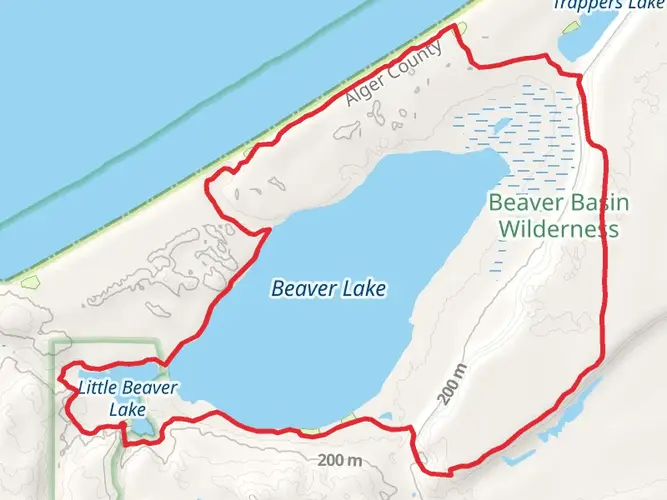
Natural Beauty and Wildlife
The pathway offers an immersive experience into the region's natural beauty, with lush forests that come alive with the vibrant colors of changing seasons. The trail closely follows the Fox River, providing ample opportunities to spot local wildlife, including deer, beavers, and a variety of bird species. The gentle flow of the river creates a peaceful backdrop for your hike, with the occasional fisherman casting a line in the hopes of catching trout or salmon.
Historical Significance
The Fox River Pathway winds through an area rich in history. The river itself was a vital resource for Native American tribes and later for European fur traders and settlers. As you hike, you may come across remnants of old homesteads and logging camps, silent witnesses to the region's past.
Landmarks and Points of Interest
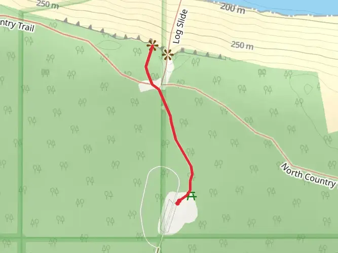
Approximately halfway through the trail, hikers will encounter a notable landmark, the Fox River Bridge, which offers a picturesque spot to rest and take in the views. The surrounding area is also known for its small, rustic cabins that dot the landscape, some of which date back to the early 20th century.
Preparation and Planning
Before setting out on the Fox River Pathway, hikers should prepare for the trail's easy terrain and relatively low elevation gain. It's important to carry sufficient water and snacks, as there are limited facilities along the route. Weather in Michigan can be unpredictable, so dressing in layers and carrying rain gear is recommended. Lastly, while the trail is accessible year-round, the best times to visit are during the spring through fall months when the trail is free from snow and the natural surroundings are at their most vibrant.
By planning ahead and coming prepared, hikers can fully enjoy the tranquility and natural splendor of the Fox River Pathway.

Frequently asked questions
How long is the Fox River Pathway in Michigan and how many days does it take to hike?
The Fox River Pathway is 44.78 kilometers, or about 27.8 miles, long. With only 134 meters of total elevation gain and an easy rating, many hikers split it into a relaxed 2-day backpacking trip, while stronger walkers can cover it in a long single day if logistics are arranged at both ends.
Is the Fox River Pathway difficult, or is the Fox River Pathway good for beginners?
The Fox River Pathway is rated easy, and the elevation gain is modest at 134 meters across the full route. That makes it one of the more approachable multi-day hikes in this part of Michigan, especially for hikers comfortable with longer mileage on generally gentle terrain rather than steep climbing.
Where do you park for the Fox River Pathway and where is the main access point?
A key access point is at Fox River State Forest Campground near Seney on County Road 450, where the pathway runs directly through the campground and can be accessed from both the east and west sides. That makes the campground one of the most practical places for parking and trail access when planning a through-hike or shorter section hike.
Can you camp along the Fox River Pathway, or is camping only at campgrounds?
Backpacking and dispersed camping are allowed along the Fox River Pathway. Camping is not limited to developed campgrounds, but dispersed camps need to be at least 1 mile from Fox River State Forest Campground and Kingston Lake State Forest Campground, which helps keep the busiest access areas less crowded.
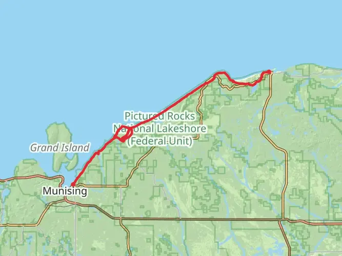
Where does the Fox River Pathway start and finish?
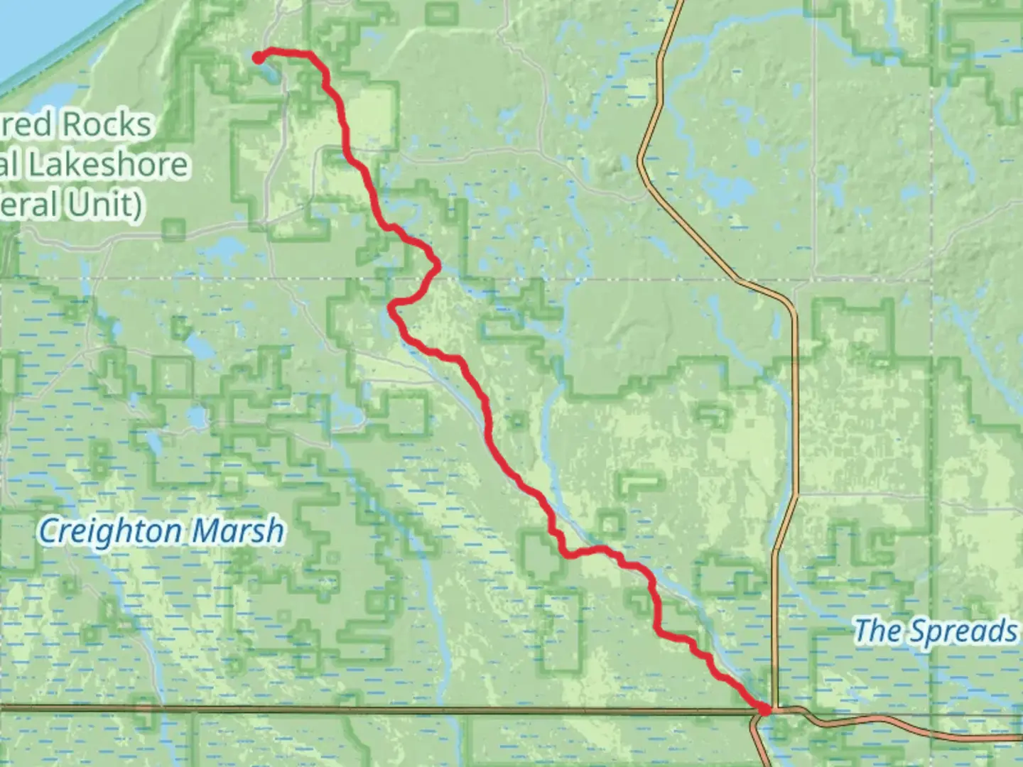
The route links the Seney area with Grand Marais, crossing remote country between Schoolcraft and Alger counties. In practical terms, hikers commonly use the Seney side near Fox River State Forest Campground as a trail access point, while the northern end is associated with the Grand Marais side of the pathway.
Is the Fox River Pathway a loop trail or a point-to-point hike?
The Fox River Pathway is best treated as a point-to-point multi-day hike rather than a loop. Because the route stretches nearly 45 kilometers between the Seney area and the Grand Marais side, most hikers need a shuttle, a second vehicle, or a pickup plan at the far end.
Comments and Reviews
User comments, reviews and discussions about the Fox River Pathway, Michigan.
4.86
average rating out of 5
7 rating(s)