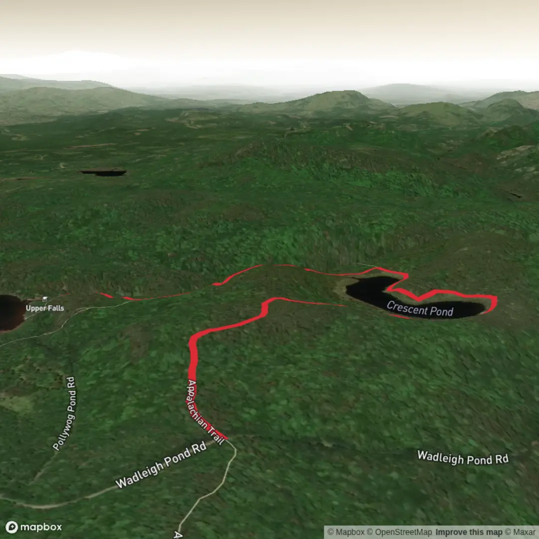
Upper and Lower Pollywog Falls via Appalachian Trail and Great Cir trail
Download
Preview
Add to list
More
6.1 km
~1 hrs 28 min
151 m
Out and Back
“A shady Appalachian ramble rewards steady hikers with twin waterfalls, mossy woods, and a cool creekside hush.”
This roughly 6 km / 3.7 mile out-and-back style hike to Upper and Lower Pollywog Falls is a compact but rewarding route with about 200 m / 656 ft of elevation gain, giving it a solid medium difficulty feel. Expect a forested walk with short but noticeable climbs, uneven footing in places, and a mix of Appalachian Trail travel and connecting footpath that leads toward the falls. The route is well suited to hikers who want a half-day outing with waterfalls, hemlock-and-hardwood scenery, and a sense of the southern Appalachian landscape without committing to a long backcountry day.
The trailhead is near the Standing Indian Basin area of western North Carolina, in the Nantahala region, with the nearest widely recognized access point typically associated with the Standing Indian Campground / Standing Indian Basin trail network near Franklin, North Carolina. If you are driving, Franklin is the main service town for fuel, food, and last-minute supplies, and from there hikers usually approach the Standing Indian area by mountain roads leading into the national forest. Parking is generally at established trail access areas rather than roadside pull-offs, so it is worth checking HiiKER in advance for the exact start point and road approach. Public transport in this area is very limited; most hikers should plan on arriving by car, as there is no practical direct transit connection to the trailhead itself. If relying on rideshare or shuttle support, Franklin is the most realistic staging point.
The first part of the walk usually eases hikers into the terrain with a moderate forest ascent rather than an immediate steep grind. Over the opening 1 to 1.5 km / 0.6 to 0.9 miles, the grade tends to build gradually, and the footing can vary between packed earth, roots, embedded rock, and damp patches depending on recent rainfall. Because this is waterfall country, the trail can stay slick even when the weather seems dry elsewhere. Waterproof footwear or at least shoes with dependable grip are a smart choice, especially if you plan to get close to the cascades.
Route character and terrain
The Appalachian Trail section gives the route a classic southern Appalachian feel: shaded woodland, a narrow tread, and a corridor shaped by long-distance hiking history. The connecting trail toward Great Cir and the falls tends to feel more localized and destination-focused, drawing hikers away from the through-route atmosphere of the AT and into a more intimate creek-and-cascade setting. The total elevation gain of around 200 m / 656 ft is not extreme, but it is enough to make the route feel more strenuous than the distance alone suggests, especially for hikers carrying extra camera gear or hiking after rain.
As the route progresses, listen for moving water before you see it. Lower Pollywog Falls is often the first major objective and can feel tucked into the forest, with the stream cutting through rock and creating a cool, sheltered microclimate. Upper Pollywog Falls adds another scenic payoff, often with a slightly different character depending on water flow—sometimes more delicate, sometimes more forceful after wet weather. Short side paths or informal viewing spurs near waterfalls can be muddy, steep, or eroded, so extra care is needed around the approach zones.
Landmarks, scenery, and what to watch for
The biggest landmarks are, of course, the two falls, but the surrounding forest is a major part of the experience. This area is known for rich Appalachian woodland, where hikers may pass beneath mixed hardwoods and evergreen cover, with mossy rocks, rhododendron, mountain laurel, and fern-lined sections adding texture through much of the year. In spring and early summer, wildflowers and fresh leaf-out can make the route especially attractive, while autumn often brings strong color in the broader Franklin and Nantahala region.
Wildlife is typical of western North Carolina forest habitat. Hikers should stay alert for white-tailed deer, squirrels, chipmunks, salamanders in damp areas, and a wide variety of songbirds. Black bears are part of the wider ecosystem here, though encounters are uncommon on a short day hike; still, food should be secured and hikers should avoid leaving packs unattended while exploring viewpoints. Snakes may also be present in warmer months, especially near sunny rocks or trail edges, so it is wise to watch hand and foot placement. Ticks are another consideration in brushy or grassy margins, making long socks and a post-hike check worthwhile.
Waterfall routes always deserve extra caution. Rocks near both Upper and Lower Pollywog Falls may be polished and slippery, and spray can make surfaces more hazardous than they appear. If the creek is running high after storms, keep a greater distance from edges and avoid scrambling for better photos. Families with children or hikers bringing dogs should be especially conservative near drop-offs, wet ledges, and unofficial viewpoints.
Historical significance of the region
This hike sits within a landscape shaped by deep Appalachian history. Long before modern recreation trails, these mountains were part of the homeland and travel corridors of Cherokee people, whose presence and stewardship are fundamental to the history of western North Carolina. Later, the region became associated with logging, small mountain settlements, and the gradual development of forest roads and recreation infrastructure in the Nantahala area. The Appalachian Trail itself adds another historical layer: as one of the most iconic long-distance footpaths in the United States, it reflects a 20th-century conservation and trail-building movement that helped preserve public access to mountain landscapes like this one. Even on a short waterfall outing, hikers are moving through a corridor tied to both much older Indigenous history and more recent public-land preservation efforts.
Because of that layered history, it is worth treating the area with care: stay on established tread, avoid stacking rocks or altering stream edges, and leave natural and cultural features undisturbed. Short hikes in heavily visited waterfall zones can accumulate impact quickly.
Planning and preparation

Surfaces
Ground
Dirt
Unknown
Comments and Reviews
User comments, reviews and discussions about the Upper and Lower Pollywog Falls via Appalachian Trail and Great Cir trail, Maine.
average rating out of 5
0 rating(s)