
Download
3D Flyover
Add to list
More
477 m
~5 min
0 m
Out and Back
“A brief roadside wander reveals Tobey Falls, where dark ledges and rushing water create a striking scene.”
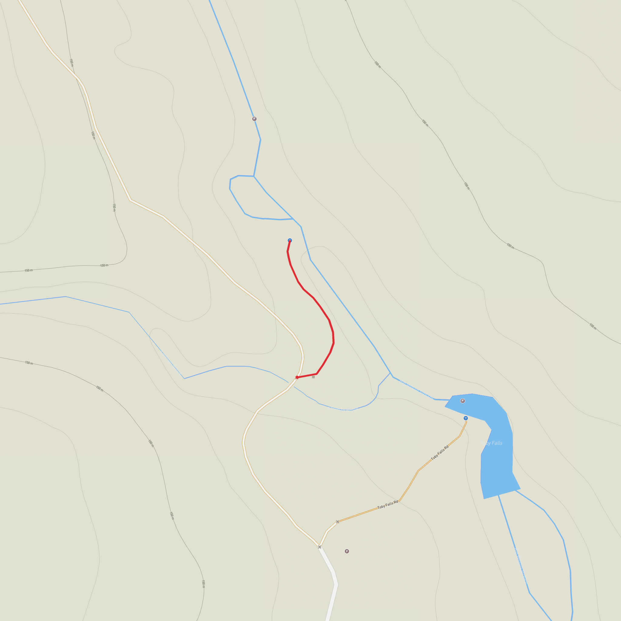
This is a very short, easy waterfall outing rather than a full hike, with the walk in measuring only about 0.1 miles / 0.16 km and taking roughly 0–5 minutes from the roadside pull-off to the viewing area. The route is near Elliotsville Road in Willimantic, Maine, on Bennett Stream / Big Wilson Stream, with the nearest well-known service town being Monson to the south and Guilford farther southeast. The parking area is a simple gravel pull-off at approximately 45.31444, -69.41658, along Elliotsville Road. (newenglandswimmingholes.com)
Although the walk is minimal and the elevation change is small, expect a short drop on foot from the roadside down toward the falls over uneven, rocky ground. That makes it easy by hiking standards, but not completely effortless for anyone with poor balance or slippery footwear. The site is best thought of as a quick-access scenic stop suitable for families, photographers, and travelers exploring the Maine Highlands. (newenglandswimmingholes.com)
What to expect on the walk
From the pull-off, the path heads a very short distance to the waterfall overlook and base area. The terrain is rocky and can be slick in damp weather, especially after rain, so sturdy shoes are still worth wearing even for such a short approach. The falls themselves are the main attraction: a broad, angled cascade that spreads over dark, polished ledge rock. One source describes the waterfall as a 40-foot / 12-metre fan-shaped drop, while another describes the visible main drop as closer to 8 feet / 2.4 metres but especially forceful because the stream narrows sharply at the ledge. Taken together, that suggests hikers should expect a compact but visually powerful waterfall with a sloping, spread-out profile rather than a single clean vertical plunge. (newenglandswimmingholes.com)
Water levels matter here. In settled weather, the stream can appear clearer and more defined, while after rain the flow becomes stronger, wider, and more dramatic. That same rain also makes the ledge much more hazardous. The wet rock around Tobey Falls is specifically noted as slippery year-round, with stronger current after rain and cold water even in milder seasons. This is a place for careful viewing, not casual scrambling. (newenglandswimmingholes.com)
Landmarks, scenery, and natural character
The setting is classic inland Maine: forest, stream corridor, dark bedrock, and a roadside approach that quickly gives way to the sound of rushing water. The waterfall is often described as one of the more photogenic falls in Piscataquis County, and the polished black ledge gives it a distinctive look, especially when the water fans across the rock face. Angled slide falls like this can look modest on paper but are often more impressive in person because of the speed and texture of the water. (newenglandswimmingholes.com)
The surrounding region sits within The Maine Highlands, an area known for mixed forest, streams, wetlands, and a generally remote feel once you leave the larger roads. On a quiet day, hikers should expect birdsong, moving water, and the possibility of seeing common northern woodland wildlife rather than dramatic alpine scenery. In this part of Maine, that can include songbirds, ravens, squirrels, chipmunks, amphibians near wet ground, and larger mammals such as deer or moose in the broader area, especially at dawn and dusk. As with many Maine streamside spots, insects can be intense in warmer months, so repellent is useful. The immediate hazard is less wildlife than footing: slick rock, cold water, and the temptation to get too close to the crest or edge. (newenglandswimmingholes.com)
Safety and planning notes
Because the outing is so short, people often underestimate it. The main things to watch for are:
- slick rock near the falls
- stronger current after rain
- cold water
- a short but steep descent at the base area
- limited roadside parking
- possible logging or local road traffic on approach roads
The parking notes for the site specifically advise visitors to yield to logging traffic and avoid blocking the road or pull-off. If recent rain has passed through, expect the rocks to be especially treacherous. If you are checking route details beforehand, use HiiKER to confirm access roads, your approach, and nearby services. (newenglandswimmingholes.com)
Getting to the start
By car:
The simplest approach is via Monson or Guilford, Maine. A current local directions
Comments and Reviews
User comments, reviews and discussions about the Tobey Falls, Maine.
average rating out of 5
0 rating(s)
