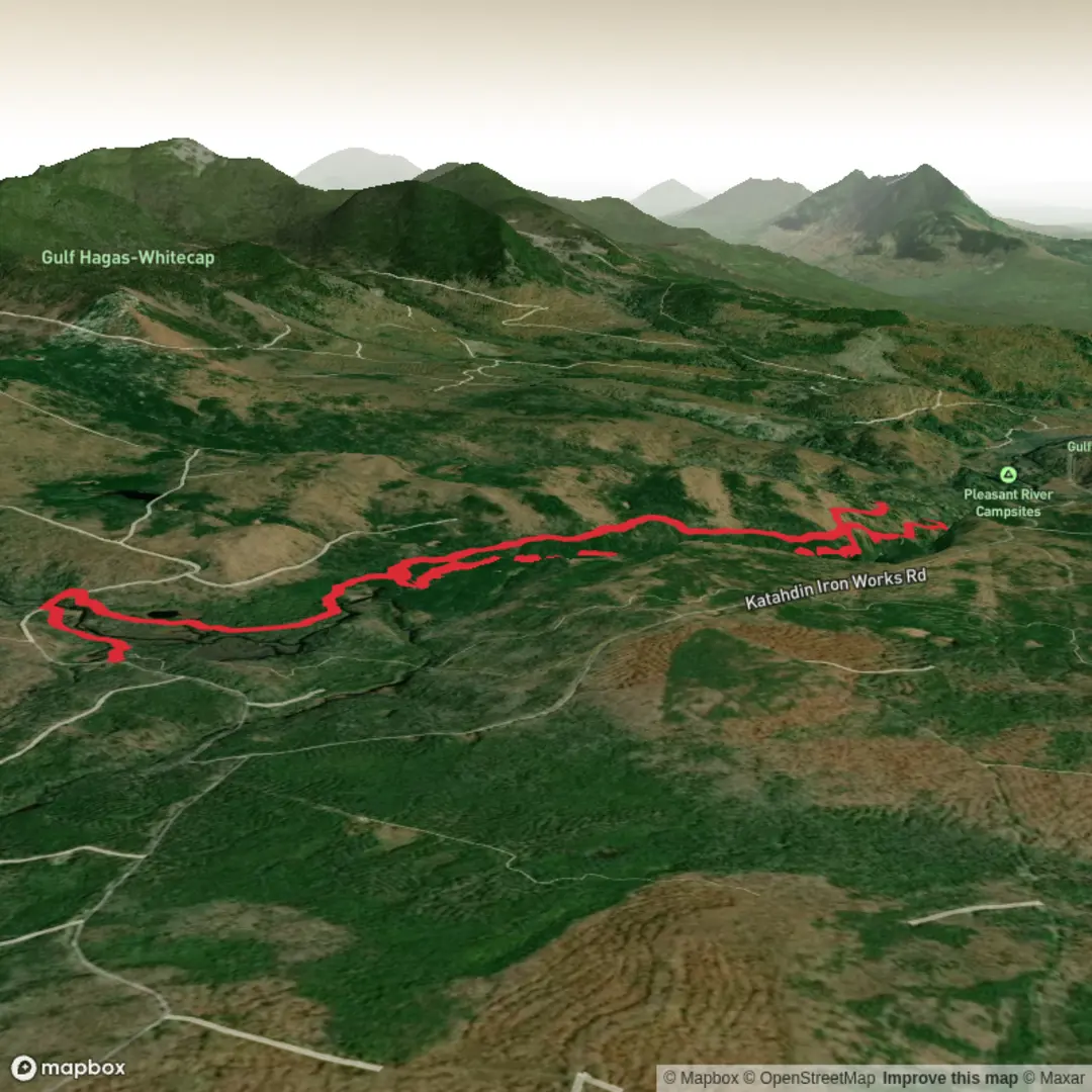
Stair Falls, Billings Falls, Buttermilk Falls, Screw Auger Falls via Rim Trail and Pleasant River Tote Road
Download
3D Flyover
Add to list
More
14.3 km
~3 hrs 11 min
197 m
Loop
“A gentle Gulf Hagas loop strings together tumbling falls, rocky overlooks, and Maine’s gorge-carved drama.”
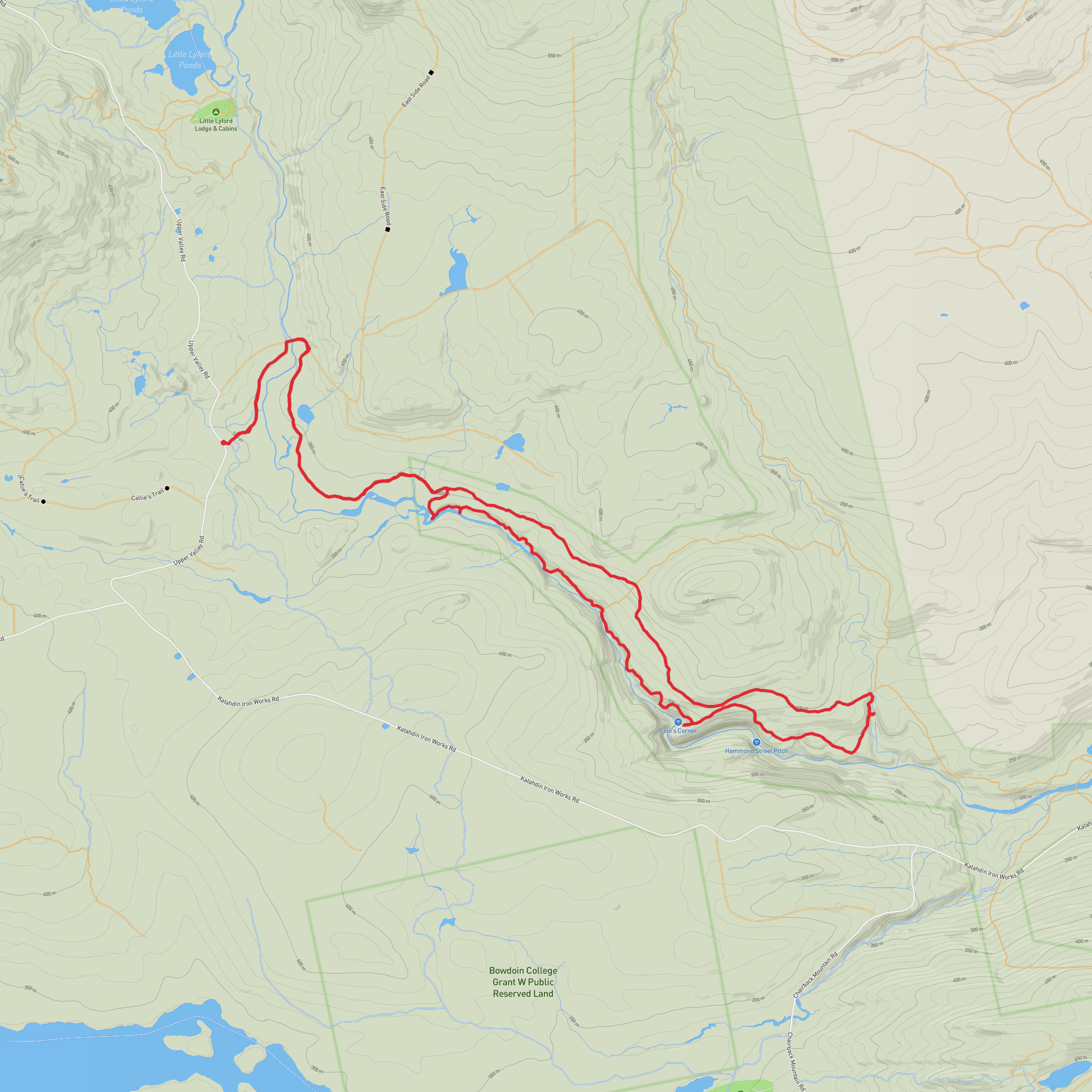
This easy-going waterfall loop in the Gulf Hagas area of Maine packs a lot of scenery into roughly 14 km / 8.7 miles, with only about 200 m / 656 ft of elevation gain. The route combines the Rim Trail with the Pleasant River Tote Road to visit a string of notable cascades—Stair Falls, Billings Falls, Buttermilk Falls, and Screw Auger Falls—while tracing the edge of one of the state’s most dramatic river gorges. Expect a day focused less on climbing and more on steady walking, short rocky sections, roots, viewpoints into the gorge, and repeated stops at waterfalls and pools.
The hike is in the West Branch Pleasant River / Gulf Hagas area within Maine’s Mahoosuc region, and the usual access is from the Gulf Hagas trailhead at the end of Hermitage Road near Katahdin Iron Works, Brownville, Maine. The nearest widely recognized landmark is the Gulf Hagas / Hermitage trailhead parking area off the KI Road network near Katahdin Iron Works. Maine’s land managers note that this trailhead has parking, privies, and an information kiosk, and that it can fill on busy weekends. (maine.gov)
Getting there is simplest by car. Most hikers approach from Greenville, Brownville, or the Katahdin Iron Works area via a network of rural roads leading to Hermitage Road and the Gulf Hagas trailhead. Road conditions can vary, especially after rain or during shoulder seasons, so checking current access conditions before setting out is wise. Public transport is very limited in this part of Maine; there is no practical regular transit service to the trailhead itself, so hikers relying on transit usually need a taxi, shuttle, or private drop-off from a larger nearby town. (maine.gov)
What the route is like
From the trailhead, the outing typically begins on easier walking before reaching the more scenic gorge section. The Rim Trail is the highlight: it follows the edge of Gulf Hagas, often called the “Grand Canyon of Maine,” where the West Branch Pleasant River has cut a deep slate gorge over about 3 miles / 4.8 km. The return on Pleasant River Tote Road is generally gentler and faster underfoot, which is why many hikers use it to complete the loop rather than retracing the rougher rim. (en.wikipedia.org)
Although the overall elevation gain is modest, the footing deserves respect. The rim section can be uneven, with rocks, roots, damp ledges, and short scrambly bits near viewpoints and side paths to the falls. In wet weather, these sections become much slicker. Families and newer hikers often find the route manageable if they allow extra time and avoid rushing between viewpoints.
A reasonable way to think about the day is in segments:
- Early approach: relatively straightforward walking to reach the gorge system.
- Middle waterfall section: the most scenic and stop-and-go part of the hike, with repeated overlooks and short detours.
- Return leg on Tote Road: easier cruising back, with less technical footing.
Waterfalls and landmarks along the way
Screw Auger Falls is often the best-known name on the route and one of the most photogenic features in the gorge system. Here the river funnels into a sculpted chasm and plunge pool, showing off the erosive power that shaped the canyon. It is a natural pause point and one of the places where hikers tend to linger longest. (downeast.com)
Buttermilk Falls has a different character, more of a graceful slide or horsetail-style cascade than a single dramatic plunge. It is one of the prettiest spots on the loop and often feels more intimate than the larger chasm viewpoints. (downeast.com)
Billings Falls is a narrower, more forceful drop viewed from a bit of distance, which gives a good sense of the depth and confinement of the gorge. It is one of the landmarks that really reinforces how abruptly the river cuts through the bedrock. (en.wikipedia.org)
Stair Falls is usually remembered for its smaller cascades and stepped pools rather than sheer height. It adds variety to the hike, especially after the more dramatic plunges and chutes elsewhere along the rim. (downeast.com)
Between these named falls,
Surfaces
Unknown
Ground
Comments and Reviews
User comments, reviews and discussions about the Stair Falls, Billings Falls, Buttermilk Falls, Screw Auger Falls via Rim Trail and Pleasant River Tote Road, Maine.
average rating out of 5
0 rating(s)
