Ledge Falls and Wassataquoik Grand Falls via Wassataquoik Stream Trail
Download
Preview
Add to list
More
24.0 km
~5 hrs 9 min
218 m
Out and Back
“A hushed forest ramble leads to silky chutes and a thunderous falls, with wild waters demanding respect.”
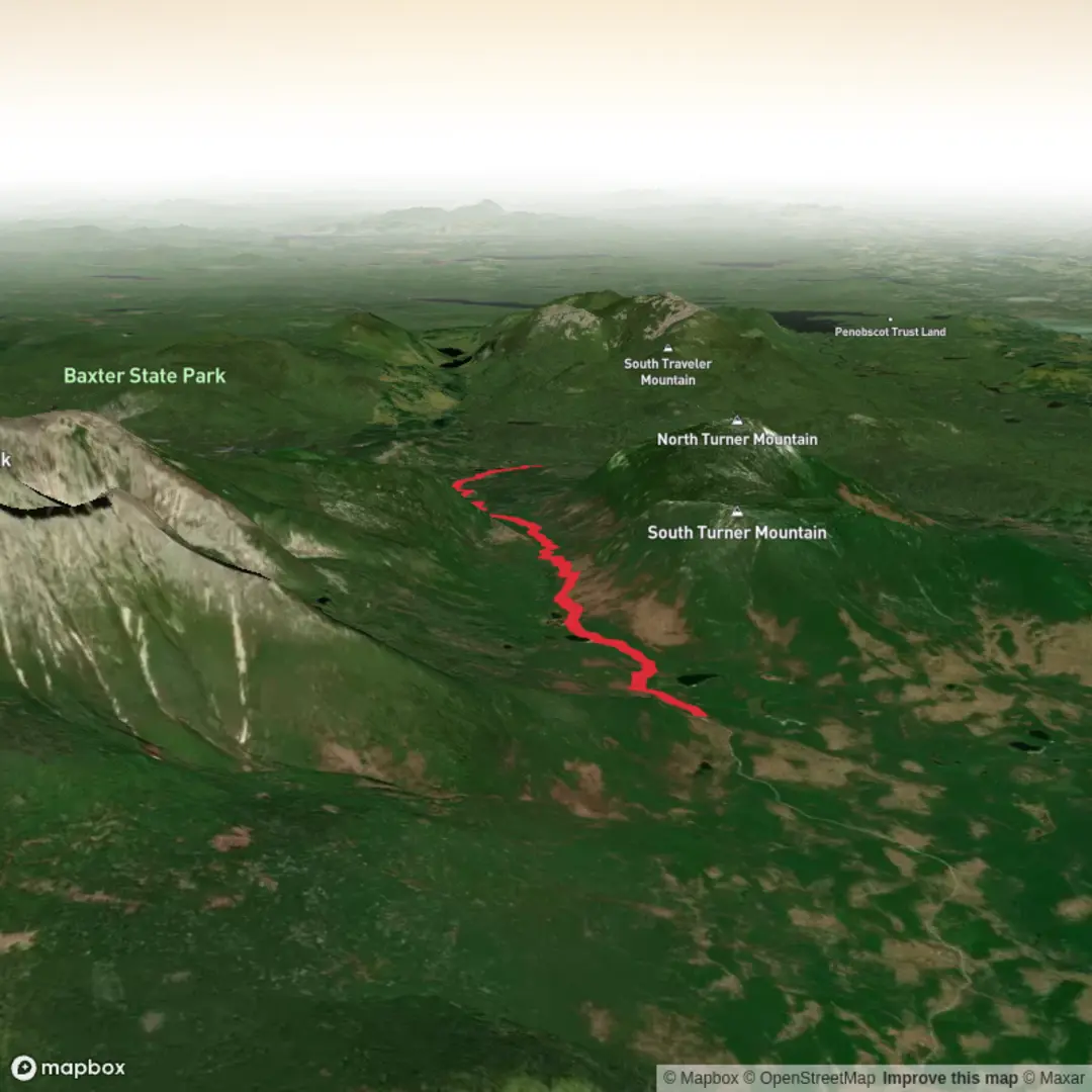
This long, mostly gentle out-and-back follows one of Baxter State Park’s quieter valley routes to a pair of very different waterfalls: the smooth rock chutes of Ledge Falls and the more forceful drop at Wassataquoik Grand Falls. At about 24 km / 14.9 miles round trip with only around 200 m / 656 ft of total elevation gain, it is easy by Baxter standards, but it is still a remote wilderness walk where footing, water levels, and logistics matter more than the elevation profile suggests. The route is associated with the Roaring Brook side of Baxter State Park, with access from the Roaring Brook Campground trailhead reached via the Togue Pond Gatehouse and Roaring Brook Road. (mainetrailfinder.com)
The walking is generally low-angle and forested, with long stretches on dirt tread and old tote-road corridor rather than sustained climbing. That makes it approachable for hikers who want distance without a mountain ascent, but it also means the day is defined by streamside terrain, roots, mud, and potentially wet crossings. The biggest objective hazard on this route is water: the Wassataquoik Stream Trail requires a ford near the confluence area, and Baxter-area trail guidance notes that crossings on the Wassataquoik Stream Trail can be dangerous in high water, especially during spring runoff or after heavy summer rain. (mainetrailfinder.com)
Getting to the start is straightforward by car and difficult by public transport. From downtown Millinocket, the usual approach is about 16 miles / 25.7 km northwest on Baxter Park Road to the Togue Pond Gatehouse, then about 7.9 miles / 12.7 km on Roaring Brook Road to Roaring Brook Campground, where the trailheads sit near the north end of the parking area by the ranger station. Roaring Brook Campground is the nearest significant landmark and the practical trailhead reference point. Public transportation into Baxter State Park is extremely limited to effectively nonexistent for most hikers, so nearly everyone arrives by private car or arranged shuttle/taxi from Millinocket. If you are day hiking from Roaring Brook, be aware that Baxter uses a Katahdin Trailhead Pass system for Roaring Brook parking in the main season unless you are already camping in the park under the applicable exception. (mainetrailfinder.com)
What the route is like
From Roaring Brook, the early miles are mellow and enclosed by northern forest, with the trail traveling through the broad valley between the Turner Mountains and the Katahdin massif. Expect a classic Baxter mix of spruce-fir woods, damp ground, and occasional openings near water. The first several kilometres are more about rhythm than spectacle, and that is part of the appeal: this is a route for hikers who enjoy immersion in a big, quiet landscape rather than constant viewpoints. Maine Trail Finder describes the Russell Pond and Wassataquoik Stream trails as valley routes with only a few low ridges, and notes nearby landmarks including Whidden Pond and the South Branch of Wassataquoik Stream along the broader trail network from Roaring Brook. (mainetrailfinder.com)
At roughly 5.3 km / 3.3 miles from Roaring Brook, the Wassataquoik Stream Trail splits from the Russell Pond Trail. From there, the route follows the South Branch of the Wassataquoik downstream toward the main stem. This section feels more remote and more distinctly backcountry than the opening miles. Two lean-tos are located near the ford area, which can help with orientation, but do not mistake the presence of shelters for easy conditions; the stream crossing remains the crux of the outing when water is up.

Surfaces
Unknown
Wood
Comments and Reviews
User comments, reviews and discussions about the Ledge Falls and Wassataquoik Grand Falls via Wassataquoik Stream Trail, Maine.
average rating out of 5
0 rating(s)