
Download
3D Flyover
Add to list
More
20.3 km
~4 hrs 16 min
124 m
Out and Back
“A long, gentle-feeling journey through remote North Woods leads to Grand Pitch’s thunderous riverside drama.”
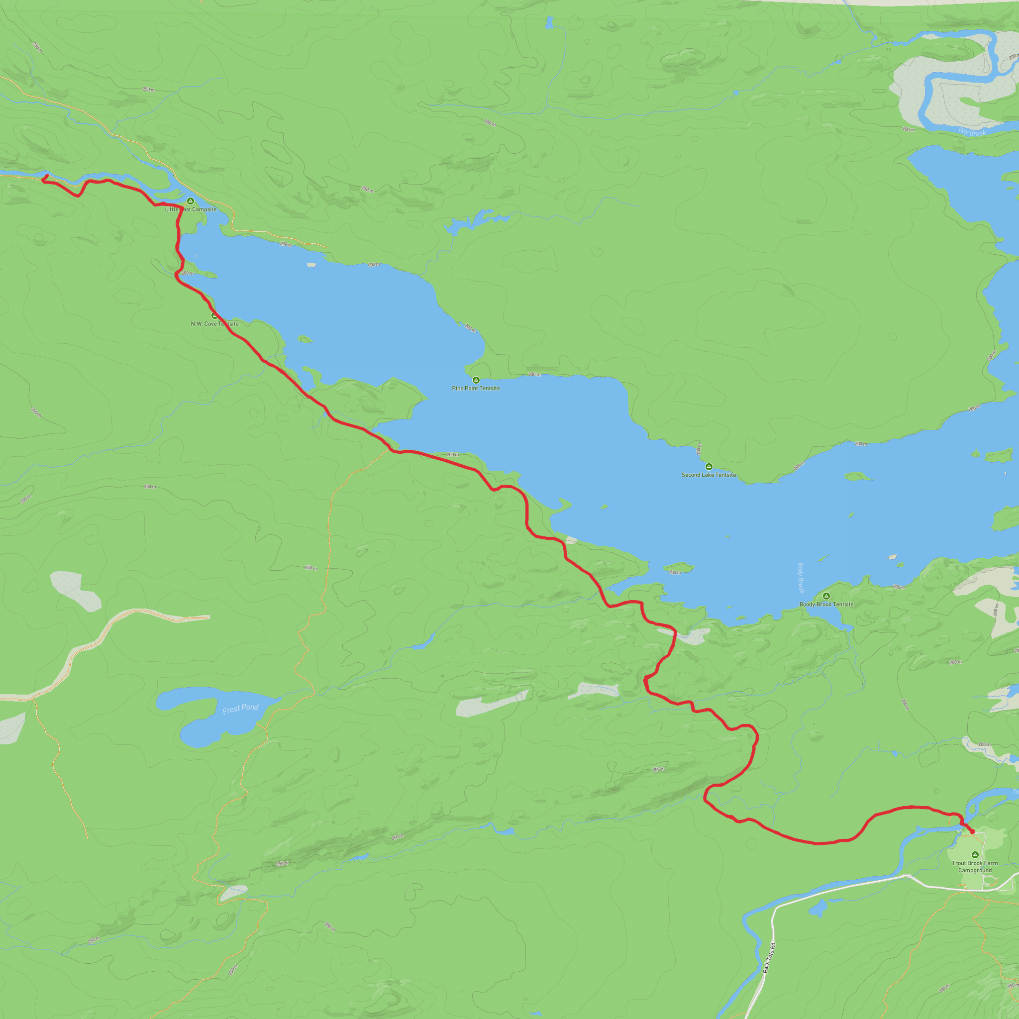
This easy-going but fairly long outing leads into one of the wildest-feeling corners of northern Maine, following old woods roads and riverside trail toward Grand Pitch on the East Branch of the Penobscot River in Katahdin Woods and Waters National Monument. Expect roughly 20 km / 12.4 miles overall with only modest climbing—about 100 m / 330 ft, depending on the exact turnaround point and any short side trips. The walking is generally gentle rather than steep, so the challenge comes more from distance, remoteness, and footing than from elevation. The nearest practical trail access is the Haskell Gate trailhead parking area on New River Road (also called Messer Pond Road), near Patten, Maine, in the monument’s north section. Grand Pitch itself is a broad, powerful drop on the East Branch, spanning about 200 feet / 61 m across and falling about 20 feet / 6 m. (nps.gov)
From the start, the route usually begins on a wide former roadbed, making for a straightforward first stretch and an approachable introduction for hikers who want a long day without sustained uphill work. The early miles are typically the easiest underfoot, with gravel, packed dirt, and forest-floor tread through mixed North Woods forest. As the route progresses, it narrows in places and becomes more scenic along the river, where roots, wet patches, and uneven ground can slow your pace. Even on an “easy” rating, this is not a casual town-park stroll: the area is remote, services are limited, and road conditions to the trailhead can be rough depending on season and weather. The National Park Service notes that New River Road ends near Haskell Gate, and seasonal closures can affect vehicle access, especially from mid-November into late spring. (mainetrailfinder.com)
What the route is like
The first notable landmark comes at about 1.6 km / 1 mile, where the old road passes an old rock pit before the trail trends toward the East Branch. Not far beyond, hikers can make short detours to features such as Stair Falls and Haskell Hut, depending on the exact line taken. Around 3.2 km / 2 miles from the trailhead, the route reaches Haskell Rock Pitch, where the river presses through striking bedrock beside the trail. Continuing onward, the path stays close to the East Branch for another 1.6 km / 1 mile to Pond Pitch, another attractive riverside stop. Maine Trail Finder describes this corridor as part of the International Appalachian Trail and notes campsites and a lean-to farther along, which can help hikers judge progress if planning a shorter turnaround or a longer day. (mainetrailfinder.com)
Grand Pitch is the main objective and the most dramatic feature on this stretch of river. Near the lean-to area, a short side path leads to the viewpoint over the falls. The river here is wide, forceful, and loud, with a distinctly wild character that feels more like a backcountry river expedition than a typical low-elevation woodland hike. The surrounding rock is geologically significant as well: the National Park Service notes that the falls cut through very old local rock associated with the Grand Pitch Formation, with material dating back to the early Cambrian, more than 500 million years ago. (nps.gov)
Nature, wildlife, and trail conditions
This is classic Maine North Woods terrain: conifer forest, mixed hardwood stands, riverbank openings, boggy sections, and long quiet stretches where wildlife is often part of the appeal. Moose are among the animals hikers most hope to see here, and the broader monument is also good habitat for black bear, beaver, river otter, and a variety of birds. The North Gate area is recognized by the National Park Service as a birding area, and the river corridor supports excellent chances to hear or spot songbirds and water-associated species in season. As always in moose and bear country, give wildlife plenty of space and never approach for photos. (mainetrailfinder.com)
Because the elevation gain is low, many hikers underestimate how much time this route can take. Wet footing, muddy stretches, and rougher riverside tread can make the pace slower than the profile suggests. After rain, expect slick roots, soft ground, and puddled sections. In bug season,
AI Planner
Days planned around your pace, with somewhere to stay each night.
Comments and Reviews
User comments, reviews and discussions about the Grand Pitch via Freezeout Trail, Maine.
average rating out of 5
0 rating(s)
