Download
3D Flyover
Add to list
More
1.5 km
~18 min
6 m
Out and Back
“A gentle woodland wander leads to Sawtelle Falls, where quiet backcountry charm meets lively, frothy cascades.”
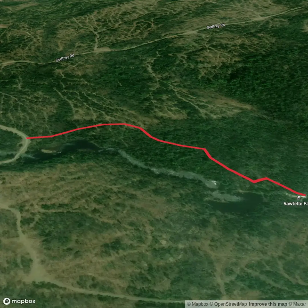
This short, easy out-and-back leads to a compact but attractive waterfall on Sawtelle Brook in the Scraggly Lake Public Land area of northern Maine, just east of Baxter State Park’s north gate. Expect roughly 2 km / 1.2 miles round trip on natural ground with almost no net elevation gain—close to 0 m / 0 ft overall, though there may be a few small undulations, wet spots, and short uneven sections near the brook and falls. The walking is generally gentle and approachable for most hikers, but the footing can still feel wild and backcountry-like rather than groomed. (gaiagps.com)
The trail begins off Scraggly Lake Road, a gravel road reached from Grand Lake Road / Route 159 near Shin Pond, Maine, in the remote Katahdin region. The most useful landmark for planning is the north gate area of Baxter State Park at Matagamon, since the trailhead lies a short drive east of that area along Scraggly Lake Road. There is reportedly no prominent trailhead sign, so it helps to watch carefully for the path shortly after Scraggly Lake Road crosses Sawtelle Brook. If you are navigating digitally, using HiiKER before you lose cell coverage is a smart move in this part of Maine. (hikinginmaine.blog)
Getting there
By car, the usual approach is to drive toward Shin Pond, Maine, then follow Grand Lake Road / Route 159 and turn onto Scraggly Lake Road for access to the Scraggly Lake Public Land unit. Roads in this region are remote and conditions can vary with weather, grading, and season, so allow extra time and expect a gravel-surface approach rather than a paved park-road experience. Parking is available within the public land area, but services are minimal. (themainehighlands.com)
Public transport is extremely limited here. There is no practical regular public-transit option directly to the trailhead, so most hikers should plan on arriving by private vehicle or arranging a drop-off from nearby communities such as the Shin Pond or Patten area. Because of the remoteness, it is wise to fuel up and gather supplies well before leaving larger service towns. This is a place where logistics matter more than the mileage.
The route itself is short, but the setting is classic northern Maine: forested, quiet, and often damp underfoot. The path travels through mixed woods toward the sound of the brook, and even on an easy hike you should expect roots, mud, and occasional standing water. One account notes flooding around a quarter mile in, which suggests waterproof footwear or at least shoes that can handle wet ground are a better choice than casual sneakers, especially after rain or during spring runoff. (hikinginmaine.blog)
What to expect on the trail
For the first part of the walk, the terrain stays mellow and the forest does much of the work. This is not a summit hike or a long-distance outing; it is a short woodland approach to a waterfall, so the experience is more about atmosphere than exertion. The brook becomes more noticeable as you near the end, and the sound of falling water usually signals that the main attraction is close. (hikinginmaine.blog)
Near the falls, the landscape becomes more textured. Sawtelle Falls drops in stepped cascades before gathering into a more forceful lower fall and a frothy pool. The final approach may involve uneven ground and some slippery rock, especially if you move closer to the water. If you explore the bank near the base, use caution: wet rock, loose soil, and short scrambles can make this easy hike feel briefly more technical than the mileage suggests. (hikinginmaine.blog)
Because the route is short, many hikers pair it with other nearby waterfall stops in the broader north Baxter and Shin Pond area. That makes it a good option for families, casual sightseers, photographers, or travelers looking for a quick leg-stretcher on a longer scenic drive. (hikinginmaine.blog)
Landmarks, nature, and wildlife
The main landmark is, of course, Sawtelle Falls itself, but the surrounding landscape is part of the appeal. The Scraggly Lake Public Land unit covers about 10,000 acres of forest, ponds, marshes, and brooks, creating habitat for a wide range of wildlife.

Surfaces
Ground
Unknown
Comments and Reviews
User comments, reviews and discussions about the Sawtelle Falls Trail, Maine.
average rating out of 5
0 rating(s)