Download
3D Preview
Add to list
More
223 m
~3 min
7 m
Loop
“Kezar Falls offers a vivid riverside pause where roaring water meets Maine’s mill-village history.”
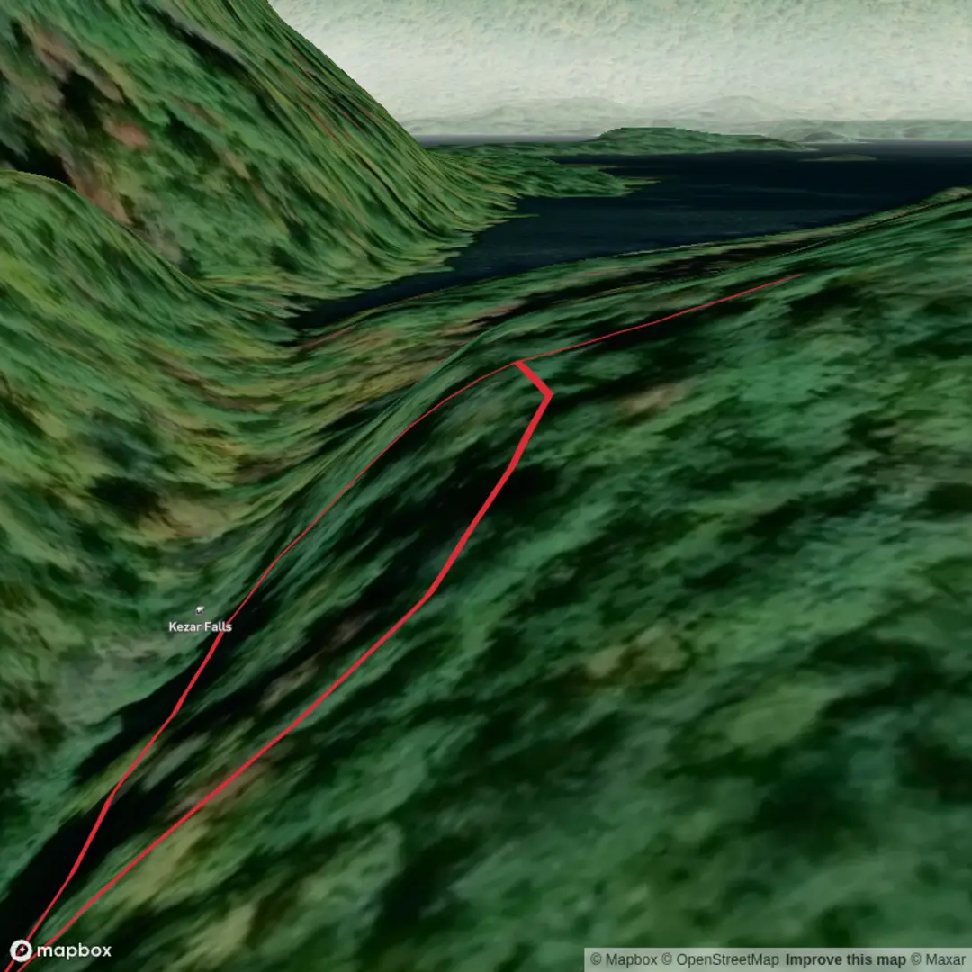
This is best treated as a very short waterfall stop rather than a full hike: expect roughly 0 km / 0 mi of walking if you are only visiting the falls from the roadside area, with essentially 0 m / 0 ft of elevation gain. Even so, the setting can feel more rugged than the numbers suggest because the falls sit on the Ossipee River in the village of Kezar Falls, which spans parts of Porter and Parsonsfield, Maine. The nearest useful landmark for planning is Kezar Falls Village on Route 160 / North Road near the Ossipee River dam area, rather than a conventional backcountry trailhead. (en.wikipedia.org)
For most visitors, this is a short-access scenic stop suited to hikers who want a quick look at moving water, old mill-country scenery, and a compact river gorge environment without committing to a long outing. The difficulty is still fair to call medium because waterfall viewpoints often involve uneven ground, wet rock, short embankments, and the need to stay alert around swift water and dam infrastructure, even when the walk itself is minimal. Conditions can change with river flow, and footing is often the main challenge rather than distance or climbing. The falls are also associated with the Upper and Lower Kezar Falls hydroelectric facilities, so this is a place to admire from safe public vantage points rather than explore casually along the water’s edge. (eaglecreekre.com)
What to expect on the ground
The character of the outing is more about scenery and atmosphere than trail progression. You are likely to encounter a village-edge landscape where river, dam, and historic settlement overlap. Depending on water level, the falls may appear as a broad, forceful rush over ledges rather than a tall vertical plunge. After rain or during stronger releases, the sound and movement of the river can be impressive; in lower water, the rock structure and channel shape become easier to notice. Because this is such a short stop, many people underestimate it and arrive in casual footwear, but shoes with decent grip are still the better choice if you plan to move beyond the immediate roadside pull-off. (newenglandwaterfalls.com)
Navigation is straightforward once you are in the village, but the exact parking or pull-off can be easy to miss. One local waterfall guide notes that the parking area is hard to spot from Five Kezar Road, so it helps to study the approach in advance and check the route carefully in HiiKER before arrival. Because this is not a classic signed mountain trailhead, advance route confirmation matters more than the distance would suggest. (newenglandwaterfalls.com)
Landmarks, nature, and wildlife
The main landmark is the falls on the Ossipee River, along with the surrounding dam and mill-village setting. The river corridor here is part of a broader landscape of western Maine waterways, and the village itself developed because of the water power created by the falls. That means the scenery combines natural and industrial history: river ledges, impounded water, old village fabric, and the legacy of manufacturing all in one compact area. (parsonsfieldporterhistorical.org)
Wildlife is typical of southern and western Maine river corridors. Visitors should watch for songbirds, waterfowl, small mammals, and seasonal insect activity, especially in warmer months. Riparian vegetation can be lush in summer, and shoulder seasons often give clearer views of the river itself. If you linger quietly, the area can be rewarding for birdwatching, but caution is important near the water because slick rock, moss, and fast current are more significant hazards than wildlife. The river environment also means black flies and mosquitoes can be noticeable in season, so repellent is worth packing even for a stop this short. These are general regional expectations, and the river setting strongly supports them. (en.wikipedia.org)
Historical significance of the area
Kezar Falls has a strong historical identity tied to water-powered industry. The village grew around the manufacturing potential of the Ossipee River, and historical records from the Parsonsfield-Porter Historical Society describe the importance of the Kezar Falls Manufacturing Company and the woolen mill in shaping the community. Municipal planning documents for Porter also note that the villages along the Ossipee River were important because of the river’s power, with Kezar Falls specifically located at a fall site that supported development. (parsonsfieldporterhistorical.org)
That history gives the visit more depth than a simple roadside waterfall stop. You are looking at a place where natural geography directly influenced settlement, industry, and local identity. Even the fact that Kezar Falls spans the Porter–Parsonsfield area reflects the way the river organized community life. The nearby historic Porter-Parsonsfield Bridge area also speaks to the long-standing importance of crossing and traveling along

Comments and Reviews
User comments, reviews and discussions about the Kezar Falls, Maine.
average rating out of 5
0 rating(s)