Download
3D Flyover
Add to list
More
55.5 km
~2 days
100 m
Multi-Day
“Explore the Chief Standing Bear Trail, a historical 34-mile journey through Kansas's serene landscapes and rich heritage.”
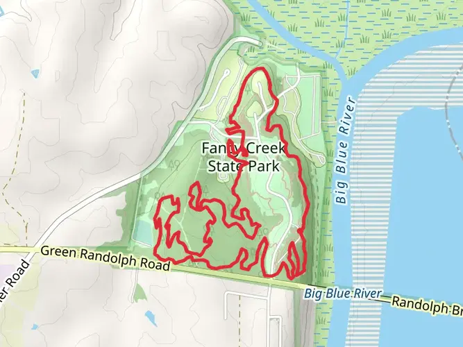
The Chief Standing Bear and Blue River Rail Trail stretches approximately 55 kilometers (around 34 miles) and boasts a modest elevation gain of roughly 100 meters (about 328 feet), making it an accessible journey for hikers of medium fitness levels. This point-to-point trail begins near Marshall County, Kansas, and offers a rich tapestry of natural beauty and historical significance.
Getting to the Trailhead
To reach the starting point of the trail, hikers can drive to the vicinity of Marshall County, where the trailhead is located. For those relying on public transportation, regional bus services may offer routes close to the area, but it's essential to check the latest schedules and stops. Once in the general vicinity, local taxi services or ride-sharing options can be used to reach the trailhead directly.
Trail Experience
As you embark on the Chief Standing Bear and Blue River Rail Trail, you'll be following the path of the old railway line, which has been repurposed into a scenic hiking route. The trail is well-marked, and hikers can use the HiiKER app for navigation, ensuring they stay on the correct path and can anticipate upcoming changes in terrain or points of interest.
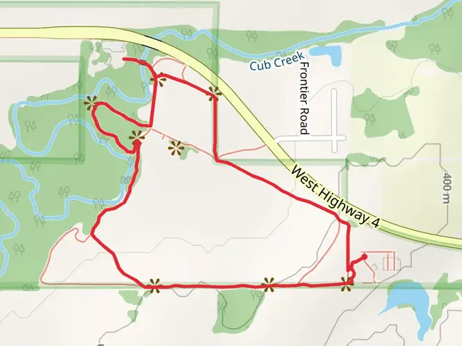
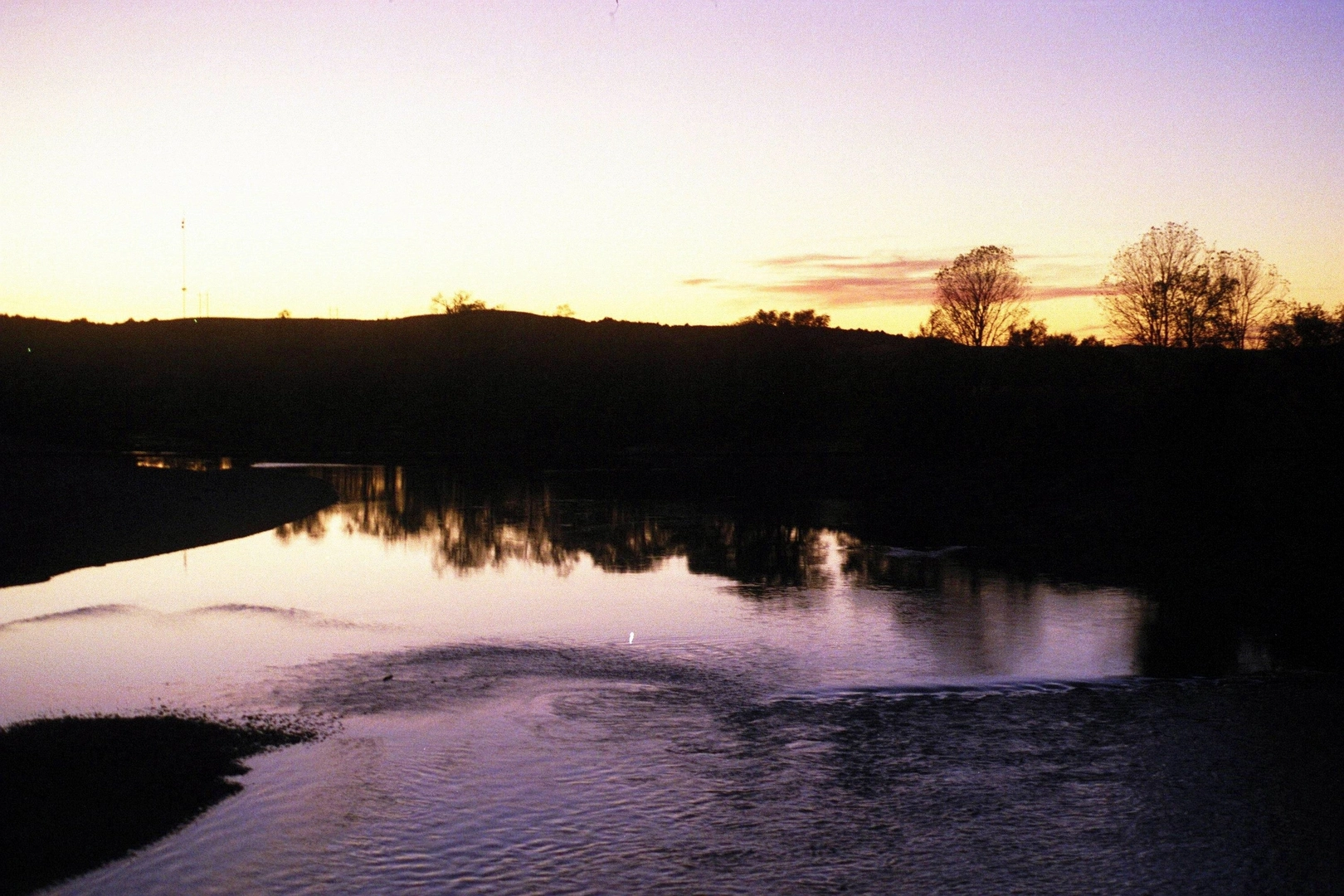
The trail meanders through a variety of landscapes, including lush woodlands, open prairies, and alongside the serene Blue River. The canopy of trees provides ample shade on sunny days, making for a pleasant hike. Wildlife enthusiasts will appreciate the opportunity to spot local fauna such as white-tailed deer, wild turkeys, and a diverse array of bird species.
Historical Significance
This region is steeped in history, with the trail named in honor of Chief Standing Bear, a Ponca Native American leader who fought for the recognition of his people's rights. As you hike, you'll be walking in the footsteps of history, with the opportunity to reflect on the area's rich cultural heritage.
Landmarks and Points of Interest
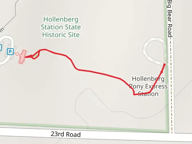
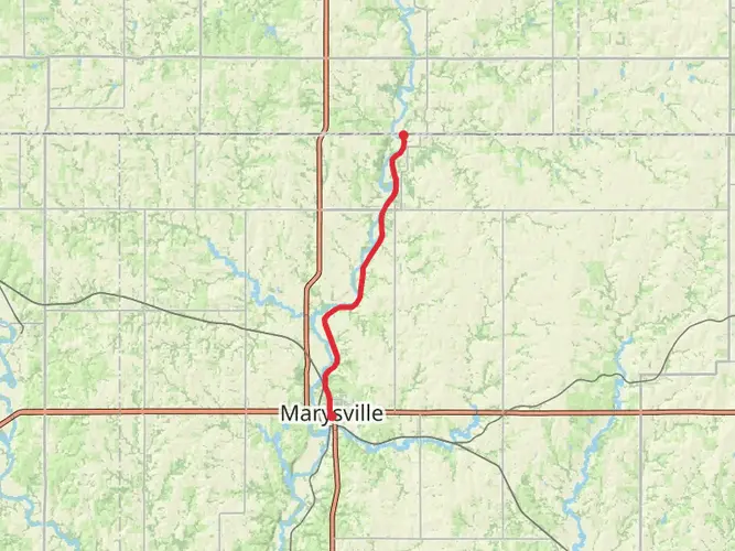
Approximately halfway through the trail, hikers will encounter the town of Marysville, which serves as a perfect rest stop. Here, you can explore local shops, grab a bite to eat, and learn more about the area's history, including the Pony Express and the Oregon Trail.
The trail's endpoint is near the state line between Kansas and Nebraska, where hikers can arrange for transportation back to their starting point or continue their journey into Nebraska.
Preparation and Planning
Before setting out, ensure you have adequate water and provisions, as the trail's remote sections offer limited access to supplies. Weather conditions can vary, so dress in layers and be prepared for changes in temperature. Sturdy hiking boots are recommended due to the mixed terrain.
Remember to respect the trail and its surroundings by following Leave No Trace principles, keeping the natural environment pristine for future hikers to enjoy.

What to expect?
Activity types
Frequently asked questions
How long does the Chief Standing Bear and Blue River Rail Trail take to hike end to end?
The Chief Standing Bear and Blue River Rail Trail is 55.46 km, or about 34.5 miles, with only around 100 m of total climbing. Strong walkers could cover it in a very long day, but the point-to-point format makes it a better fit for a 2-day trip, especially if starting in Marysville and continuing north toward Beatrice.
Where do you park for the Chief Standing Bear and Blue River Rail Trail in Kansas?
On the Kansas side, parking for the Blue River Rail Trail section is commonly used at Jayhawk Road and Harvest Road in Marysville, Frontier Road in Hull, Deer Trail Road in Marietta, and Mill Street in Oketo. There is also parking by the paved Marysville segment between Broadway Street and Elm Street, which works well for shorter out-and-back walks.
What is the surface like on the Chief Standing Bear and Blue River Rail Trail?
Most of this route follows former railroad grade, so the trail stays easy and relatively flat. The Blue River Rail Trail section in Kansas uses crushed stone, with a separate concrete segment through Marysville, while the Chief Standing Bear Trail in Nebraska continues on crushed stone; the overall elevation gain is only about 100 m across 55.46 km.
Does the Chief Standing Bear and Blue River Rail Trail go through Marysville and reach Beatrice?
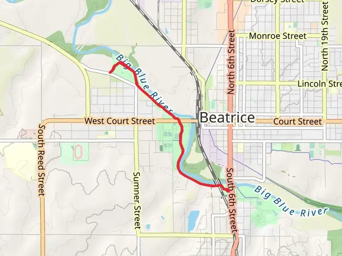
Yes. The southern Kansas end reaches Marysville, and the route continues north across the Kansas-Nebraska state line onto the Chief Standing Bear Trail, which runs to Beatrice, Nebraska. That makes this a cross-state rail-trail journey linking Marysville, the Big Blue River corridor, Barneston, Blue Springs, and Beatrice.
Is the Chief Standing Bear and Blue River Rail Trail suitable for beginners or kids?
This is one of the more approachable long-distance rail-trail hikes in the region because it is rated Easy and gains only about 100 m over 55.46 km. The gentle grade makes shorter sections near Marysville, Marietta, or the Nebraska trailheads more realistic for beginners and families, while the full route is better suited to a multi-day outing.
What are the main sights on the Chief Standing Bear and Blue River Rail Trail?
The route follows the Big Blue River corridor and mixes open farmland, wooded stretches, and river views. Notable features on the Kansas side include a covered bridge, limestone cliffs, a canyon-like section between Harvest Road and Frontier Road, and a restored trestle near Marietta, while the Nebraska side adds Blue River views and interpretive trailheads tied to local history and the Ponca legacy.
Are there restrooms or water on the Chief Standing Bear and Blue River Rail Trail?
Facilities are limited on the Kansas Blue River Rail Trail section, so that portion is best approached as a self-supported stretch. On the Nebraska Chief Standing Bear Trail, trailheads in places such as Beatrice, Holmesville, Blue Springs, and near Barneston have restrooms, and the Beatrice end includes water and additional trailhead amenities.
Comments and Reviews
User comments, reviews and discussions about the Chief Standing Bear and Blue River Rail Trail, Kansas.
4.49
average rating out of 5
41 rating(s)