Download
Preview
Add to list
More
102.3 km
~8 days
5440 m
Multi-Day
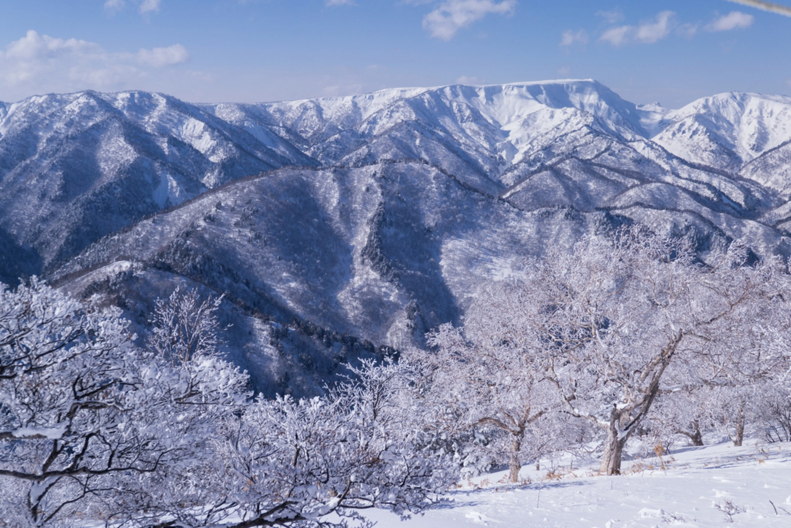
The The Shin’etsu Trail is a 102.3 km trail that starts in Shinano, Kamiminotchi County, Japan. Based on our data, the hike is graded as Extra Difficult. For information on how we grade trails, please read measuring the difficulty of a hiking trail on hiiker. Also, check our latest community posts for trail updates. This hike can be completed in approx 5 days. Caution is advised on trail times as this depends on multiple variables. For more info read about how we calculate hike time.

Frequently asked questions
How long is The Shin’etsu Trail in Japan?
The Shin’etsu Trail is 102.3 km on this route listing, making it a serious multi-day hike. The broader trail network is commonly described as 10 sections stretching from Mt. Madarao to Mt. Naeba along the Nagano–Niigata border, so hikers should expect a full long-distance trek rather than a short point-to-point walk.
How many days does it take to hike The Shin’etsu Trail?
Most hikers allow about 10 days to complete The Shin’etsu Trail section by section. The trail is organized into 10 day-sized sections, and an official planning guideline notes that it can also be done in about eight nights and nine days with camping and local accommodations, but that still requires a strong pace.
When is the best time of year to hike The Shin’etsu Trail?
The best season for The Shin’etsu Trail is after the winter snow has melted. Sections 1 and 2 are generally hiked from late May to late November, sections 3 through 9 from late June to early November, and the final section to Mt. Naeba is usually limited to late June through mid-October because of snow conditions.
Can dogs go on The Shin’etsu Trail?
Dogs are generally not allowed on The Shin’etsu Trail. The trail’s official guidance asks hikers not to bring pets in order to protect the environment, so this is not a dog-friendly long-distance route even though other walks in the Madarao Kogen area may allow dogs.
Where do you start The Shin’etsu Trail and how do you access it by train?
The western end of The Shin’etsu Trail is at Mt. Madarao, and JR Iiyama Station is the main rail access point for that side of the route. Buses and taxis connect Iiyama Station with Madarao Kogen, while eastern sections are commonly accessed from Morimiyanohara Station, Tsunan Station, and Echigo Yuzawa Station.
Are there campsites on The Shin’etsu Trail?
Yes. The Shin’etsu Trail has eight tent sites along the route, which makes through-hiking possible without leaving the mountains every night. Named camping points and overnight infrastructure along the trail include places such as Katsura Ike, Tondaira, Nonomi Kogen, and the Daigonji Kogen campsite near Mt. Amamizu.
What are the main highlights on The Shin’etsu Trail?
The Shin’etsu Trail follows the Sekida mountain range and crosses 16 historic passes between Nagano and Niigata. Notable landmarks along the route include Mt. Madarao, Lake Nozomi, Mt. Nabekura, Maboroshi no Ike pond, Mt. Amamizu, Mori-Miyanohara Station, the stone-walled rice fields around Ketto, and the finish on Mt. Naeba.
Comments and Reviews
User comments, reviews and discussions about the The Shin’etsu Trail, Japan.
average rating out of 5
0 rating(s)