Download
Preview
Add to list
More
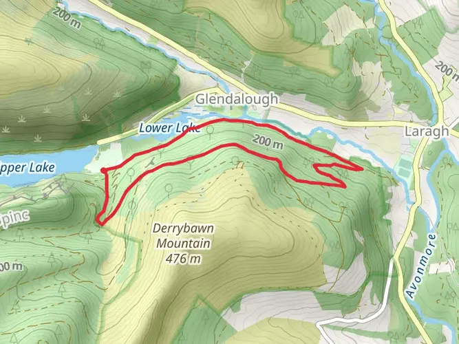
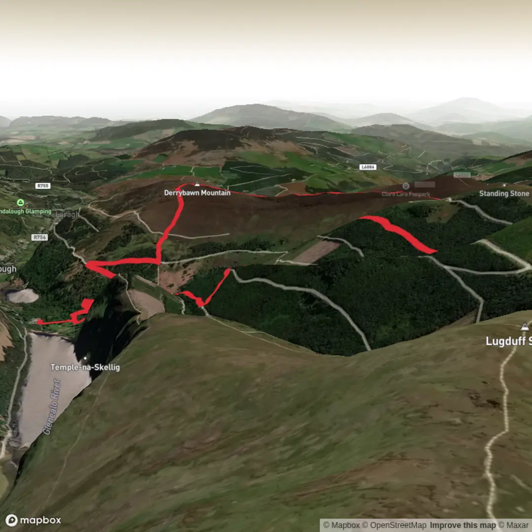
10.9 km
~2 hrs 54 min
430 m
Loop
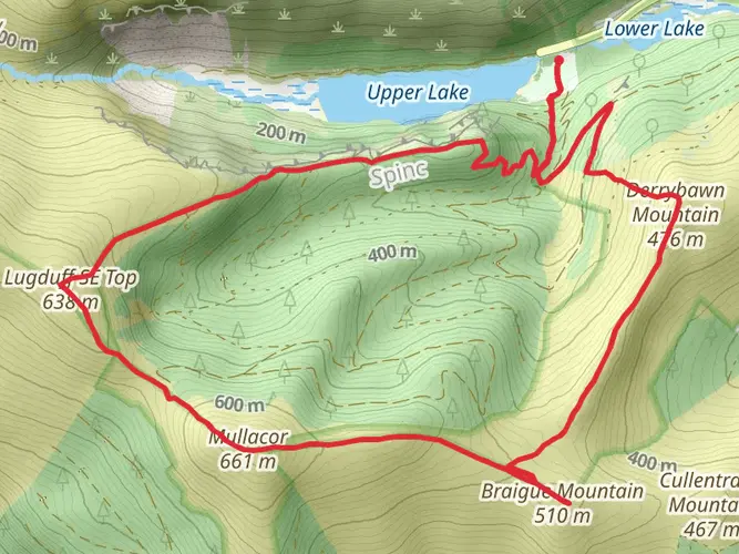
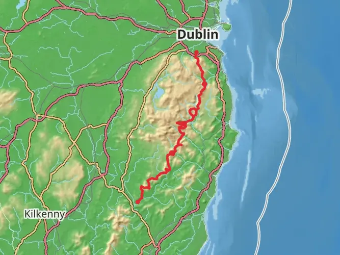
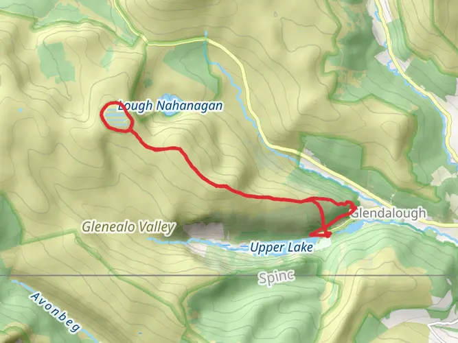
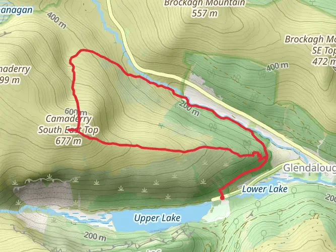
Experience the vivacious beauty of Ireland with the Wicklow Mountains SAC hiking plan on May 30. This moderately challenging hike will span 10.92 km and take approximately 175 minutes to complete. Set amidst lush green landscapes, this route begins and ends in Glendalough, Co. Wicklow, with start and end points A98 W778 and A98 PY00, respectively. You will conquer the breathtaking elevation gain of 442 m and navigate through the elevation loss of 462 m. Perfect for a thrilling day adventure, this course doesn’t require a multi-day commitment. So, bind your hiking boots tight, prepare for an exhilarating jaunt, and immerse yourself in the Irish wilderness.


What to expect?
Surfaces
Unknown
Gravel
Fine Gravel
Asphalt
Paved
Comments and Reviews
User comments, reviews and discussions about the Navi Course - Glendalough, Ireland.
average rating out of 5
0 rating(s)