Search a hike or location

search
GET PRO+
Share:

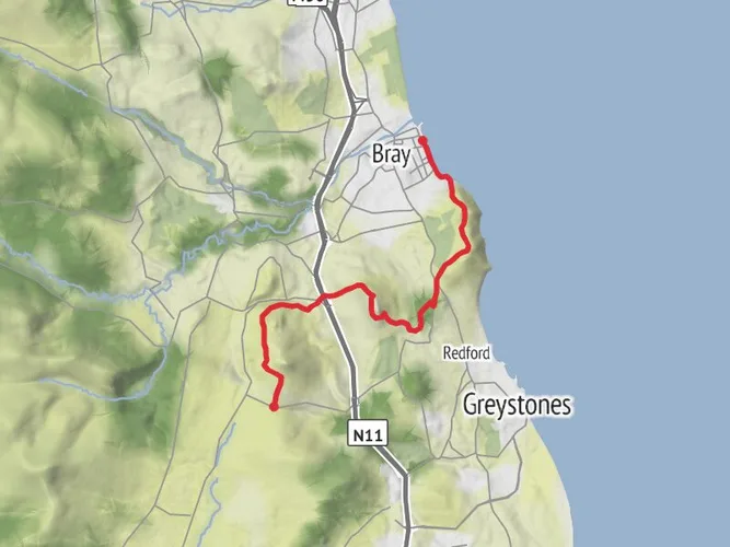
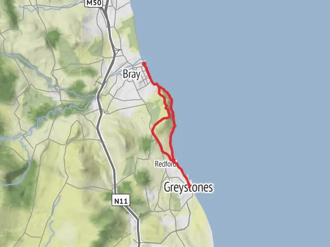
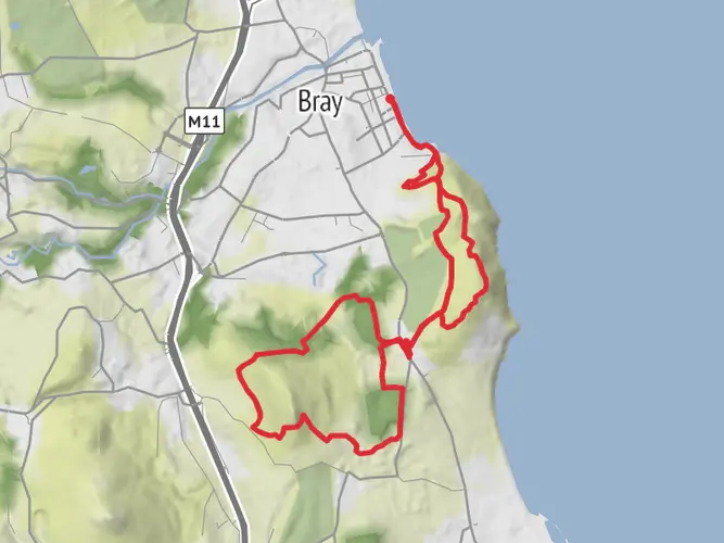
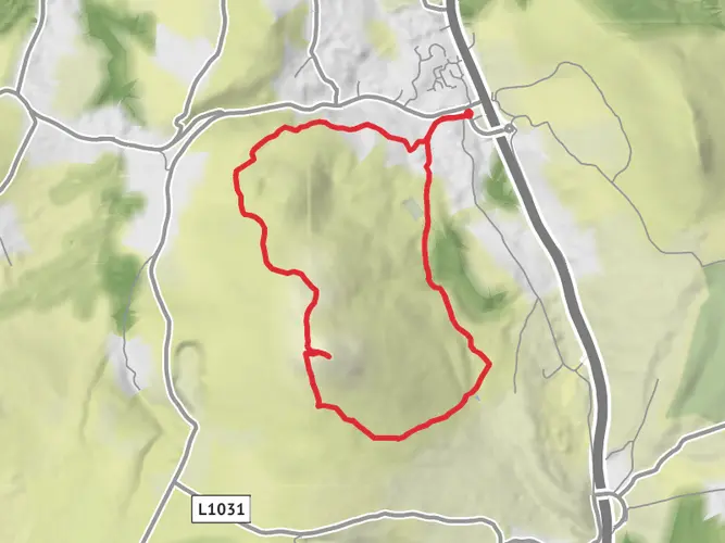
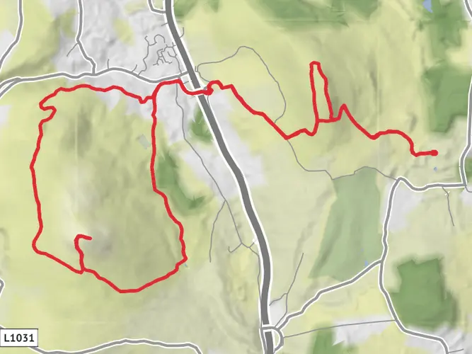
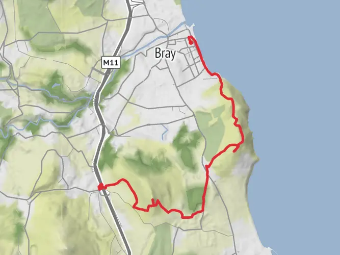
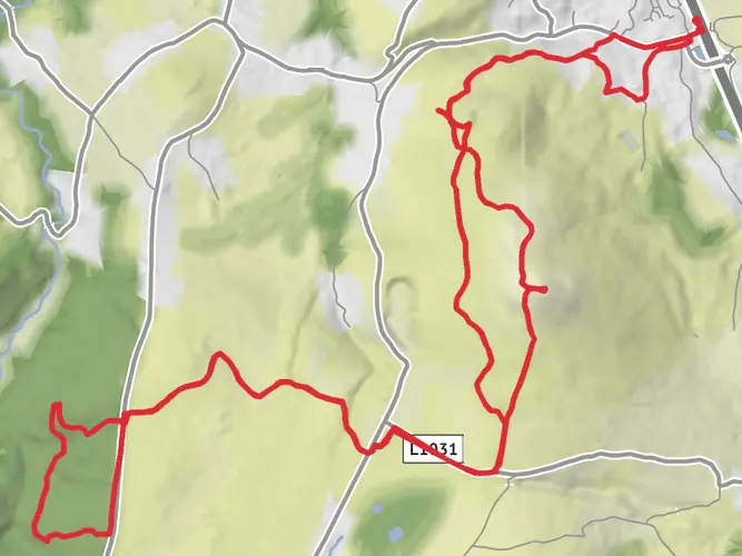
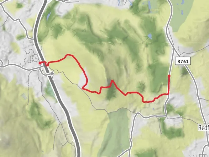
An image depicting the trail Bray to Graystones via Sugarloaf and its surrounding area.
star 5.0 (1) · Difficult

Bray to Graystones via Sugarloaf

Wicklow, Ireland

arrow_circle_down

Download

play_arrow

3D Flyover

bookmark_border

Add to list


Trail length

18.8 km

Time

~4 hrs 47 min

Elevation Gain

616 m

Hike Type

Point to Point

AI Planner

Days planned around your pace, with somewhere to stay each night.

What to expect?

Wildflowers
Partially Paved
Coastal
Rock Formations
Scenic Views
Mountain Views
Wildlife
Forest

Surfaces

info

Asphalt

36% · 6.99km

Gravel

19% · 3.61km

Unknown

15% · 2.86km

Ground

9.7% · 1.87km

Concrete

8.8% · 1.7km

Compacted Gravel

8% · 1.53km

Unpaved

3.1% · 0.6km

Paving Stones

0.4% · 0.07km

Paved

0.2% · 0.03km

Comments and Reviews

User comments, reviews and discussions about the Bray to Graystones via Sugarloaf, Ireland.

5.0 star

average rating out of 5

1 rating(s)

View Map

Bray to Graystones via Sugarloaf mobile static map

Nearby Hikes

Choose which optional cookies and similar technologies HiiKER can use on this device. Privacy & cookie policy