Download
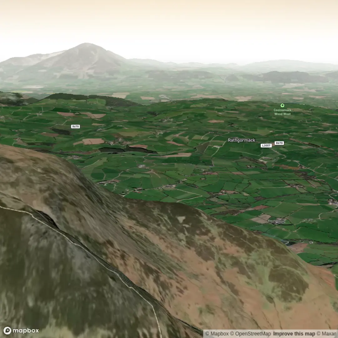
3D Flyover
Add to list
More
5.3 km
~1 hrs 29 min
258 m
Out and Back
“A compact Comeragh climb delivers folklore, wild heather slopes, and the haunting drama of Crotty’s Lake.”
This is a short but rewarding mountain outing in the Comeragh Mountains, County Waterford, Ireland, climbing roughly 5 km / 3.1 miles with about 300 m / 985 ft of ascent. The lake itself sits in a dramatic glacial corrie on the northeastern side of the range, and the walk packs a lot into a modest distance: a steady climb, open mountain scenery, a dark corrie lake, and a strong sense of local folklore tied to one of Waterford’s best-known outlaws. (gsi.geodata.gov.ie)
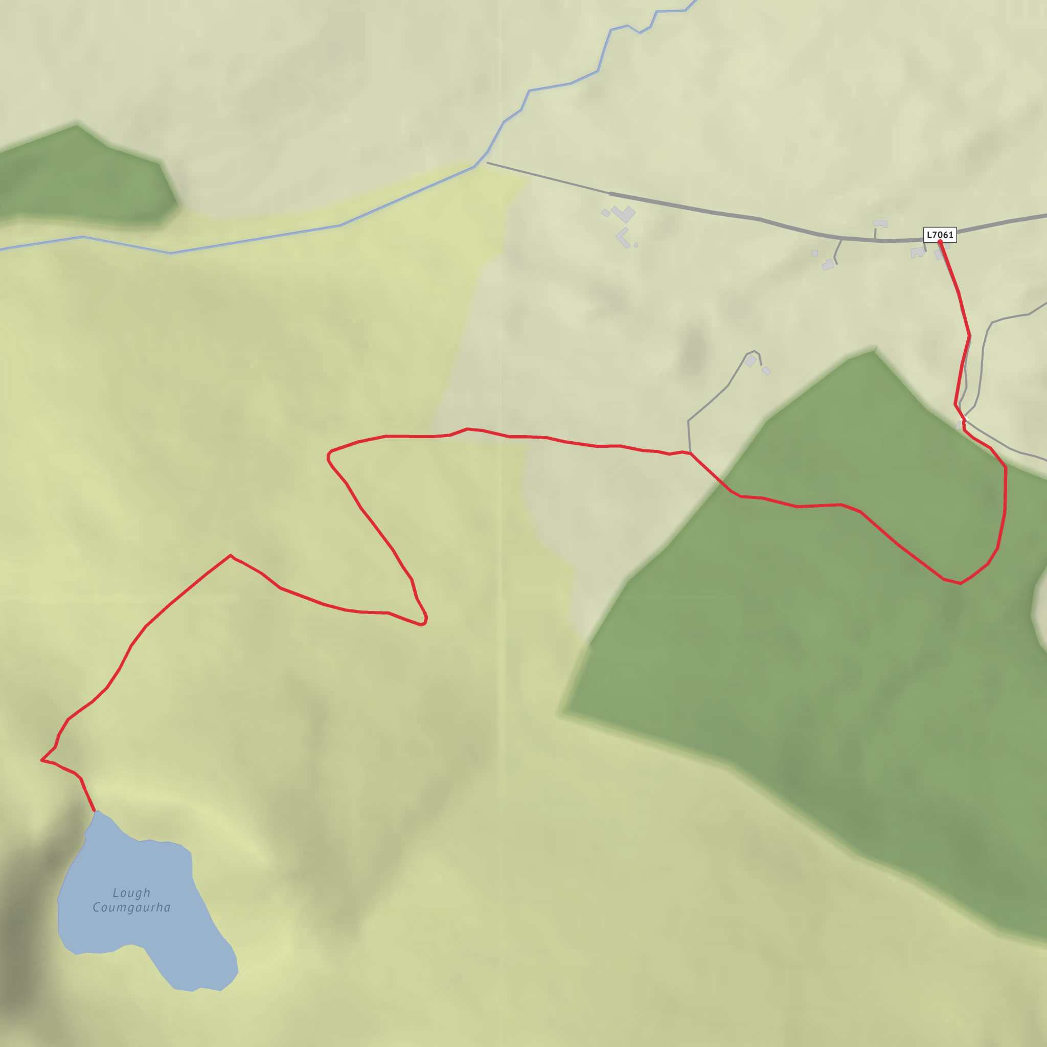
The usual access is from the Ross Bridge / Ross area off the R676 between Carrick-on-Suir and Dungarvan, with the trailhead commonly described as being near a metal gate and parking area close to Ross Bridge, County Waterford. Some route descriptions place the start near Coolnahorna on the eastern side of the Comeraghs, which helps narrow the approach if you are checking your route in HiiKER. (wikiloc.com)
By car, the simplest approach is to drive the R676 and look for the signed or commonly used mountain access near Ross Bridge. Parking is typically informal roadside or at a gate-side pull-in, so arrive early on fine weekends and park carefully without blocking farm or forestry access. Public transport is more limited: buses serve the broader Comeragh area from Waterford City, Carrick-on-Suir, and Dungarvan, but they generally do not take you directly to the trailhead, so most hikers will need a taxi for the last stretch or should expect a road walk from the nearest stop. (wikiloc.com)
What the walk feels like
The opening section is usually the most straightforward, following a good rising path or track as you leave the road and gain height gradually. This lower ground can be wet after rain, especially where the route crosses or skirts soft pasture and mountain drainage, so waterproof footwear is a sensible choice even in settled weather. As the climb continues, the route becomes more exposed and more obviously upland in character, with rougher ground underfoot and fewer obvious waymarks. (wikiloc.com)
For a hike rated medium, the challenge comes less from technical difficulty and more from the combination of steady ascent, boggy patches, and open mountain terrain. The distance is not long, but the climb is enough to raise the effort level, especially if wind or mist rolls in across the corrie. HiiKER is the best tool to have ready here, particularly if visibility drops on the upper slopes or if you plan to extend beyond the lake toward nearby high ground.
As you near the corrie, the landscape becomes more dramatic. Crotty’s Lake lies in a glacial bowl, with steep enclosing slopes and a pronounced moraine feature shaping the basin. This is one of the defining geological traits of the Comeraghs, a range well known for corries, ridges, and lakes carved and deepened by ice. The lake often appears suddenly rather than gradually, which gives the approach a strong sense of arrival. (gsi.geodata.gov.ie)
Landmarks, scenery, and route awareness
One landmark sometimes mentioned on approaches to the lake is a pump house, which can act as a useful visual cue near the water. From there, some walkers continue onto higher ground or toward cliffs above the lake, but if your plan is the shorter around-5-km / 3.1-mile outing, many will simply treat the lake as the main turnaround point. (wikiloc.com)
The scenery is classic Comeragh country: rough grassland, heather, wet flushes, rock outcrops, and broad views back over the lower farmland when the weather is clear. In poor conditions, those same open slopes can feel much more serious than the mileage suggests. Wind can funnel through the corrie, and the ground around the lake edge may be uneven, soft, or slippery. Care is needed near steep drops, especially if you wander above the corrie rim or toward rocky viewpoints associated with Crotty’s name. (gsi.geodata.gov.ie)
Because this is upland terrain, hikers should prepare for rapid weather changes, even on a short route. Low cloud can erase landmarks quickly, and wet rock or peat can make descent slower than expected. Allow extra time beyond what the distance alone suggests, and carry an extra warm layer, waterproofs, and enough food and water for a half-day outing.
Nature and wildlife
The
Comments and Reviews
User comments, reviews and discussions about the Crotty's Lake, Ireland.
average rating out of 5
0 rating(s)
